Philadelphia, Pennsylvania · Neighborhood crime trends

Philadelphia Frankford

23 neighborhoods - a quarterly race to the lowest crime rate.

Crime Trends: Neighborhoods compared - each quarter from Q1 2022

Philadelphia as a whole averaged 25.7 crimes for every 1,000 residents per quarter in Q2 2026, while Frankford averaged 33.2, hence it is generally less safe when all crimes are considered.

How do the 23 neighborhoods of Frankford compare? In Q2 2026 the police recorded 12,143 crimes across them, 33.2 for every 1,000 residents. That is 10.9% above a year earlier and 44.4% above Q1 2022, the first quarter we track.

Oxford Circle has the lowest rate of the everyday neighborhoods (15.4 per 1,000), followed by Summerdale (16.5) and Mayfair (18.3). Upper Kensington has the highest (67.6).

Use the RACE CHARTS below to watch all 23 PHILADELPHIA FRANKFORD NEIGHBORHOODs race across 18 quarter periods from Q1 2022 to Q2 2026 - one crime category at a time or all together. The race chart can be used to compare average crime rates by category against Philadelphia's average.

Neighborhood boundaries are defined by OpenDataPhilly / Robert Cheetham (CC BY) and simplified by CrimesLog.
Lowest rate (everyday)
lowest rateOxford Circle
15.4 crimes per 1,000 residents, Q2 2026
Highest rate
upUpper Kensington
67.6 per 1,000, Q2 2026
Whole area, Q2 2026
33.2 per 1,000
up 10.9% above a year earlier · up 44.4% above Q1 2022
Compared
23 neighborhoods
366,160 residents · 18 quarters

Philadelphia Frankford neighborhood quarterly crime race

Press ▶︎ to watch Q1 2022 to Q2 2026. Tick one crime category or several; hover a bar for the neighborhood. Property crimes includes burglaries and thefts.

Crime categories
Indicated: crimes rate per 1000 residents per quarterAll · safest at the top · square-root scale · Q1 2022 to Q2 2026015255010016.8Bridesburg198Crescentville27.3East Kensington50.9Fairhill20.4Feltonville19.7Fishtown - Lower Kensington31.0Frankford40.8Franklinville56.4Harrowgate22.8Hartranft30.3Hunting Park21.5Juniata Park29.5Kensington, Old34.7Kensington, West15.9Lawndale12.8Mayfair25.5McGuire16.4Northwood14.0Oxford Circle22.6Richmond15.9Summerdale32.5Upper Kensington18.7WissinomingPhiladelphia Q2 2026 average all crimes (25.7)Numbers are crimes per 1,000 residents per quarter. Zero-crime quarters show 0 and rank safest.
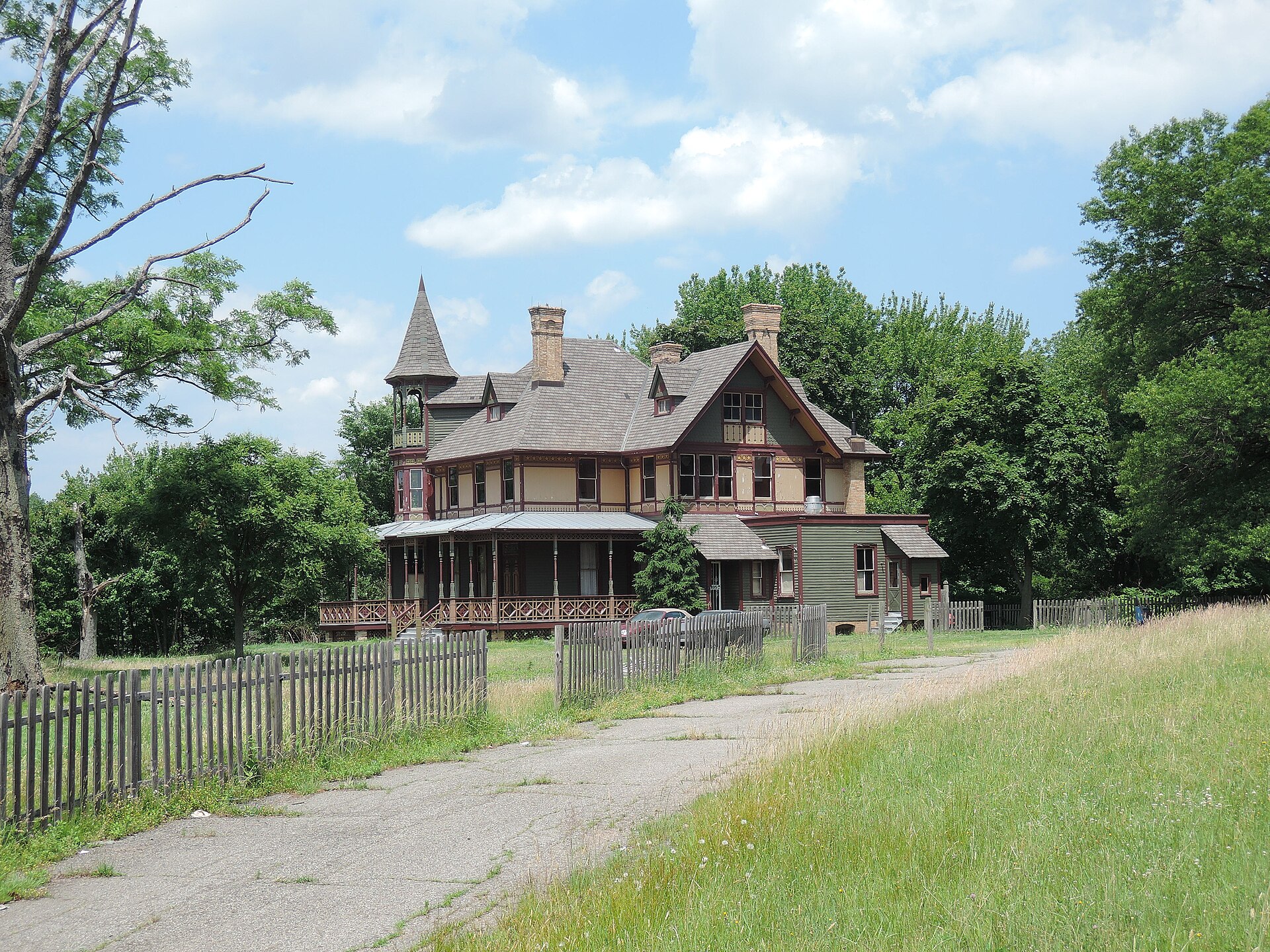
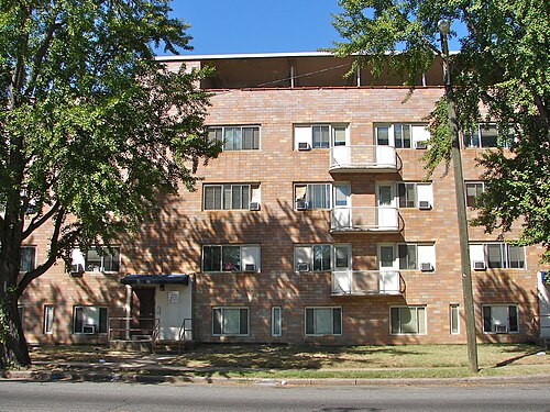
Kreischer House Uncut, Tottenville-Charleston You checked the neighborhood.Now check an address ! Photo: Jim.henderson, CC0 · Wikimedia Commons

For $34.00 a CrimesLog™ Home Report provides: (where available)

  • Nearest 6 Pre-school Nurseries to Address
  • Nearest 6 Primary Schools to Address
  • Nearest 6 Secondary/High Schools to Address
  • Nearest College and University to Address
  • Nearest to Address Medical Clinics, Hospitals and Pharmacies
  • Nearest 2 Police Station details to Address

The Home Report also provides

  • The CrimesLog™ Home Score is a proprietary Home Safety Measure capturing crime frequency, severity, recency and proximity to Address from police crime reporting point
  • A map indicating police anonymized crime reporting points around Address
  • Crime category trendlines for Address neighborhood
  • List of Reported Crime Incidents around Address radius
  • Downloadable PDF report — A Permanent Copy to Keep and Share to aid your Property Research
  • Our crimes database of almost 60 million records is UPDATED EVERY MONTH from US, UK, CA police sources
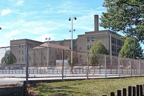
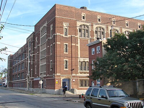
E Allen School Philly, Mayfair
Mayfair · E Allen School Philly
Photo: Smallbones, Public domain · Wikimedia Commons
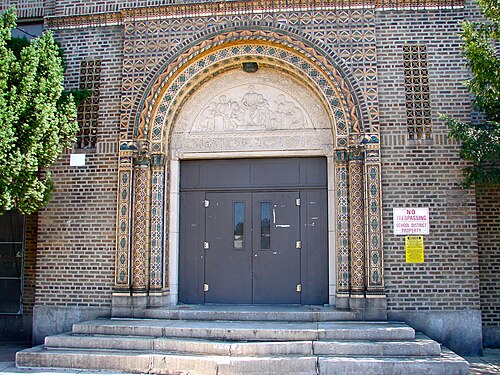
Sullivan School Philly B, Wissinoming
Wissinoming · Sullivan School Philly B
Photo: Smallbones, Public domain · Wikimedia Commons
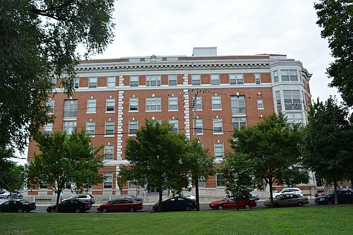
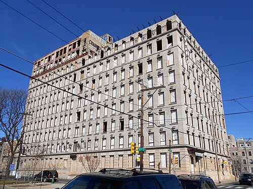
St Mary's Hospital on Memphis St, Philly, Fishtown - Lower Kensington
Fishtown - Lower Kensington · St Mary's Hospital on Memphis St, Philly
Photo: Smallbones, CC0 · Wikimedia Commons
Mackley NE Philly, Juniata Park
Juniata Park · Mackley NE Philly
Photo: Smallbones, Public domain · Wikimedia Commons
Kensington HS Philly, East Kensington
East Kensington · Kensington HS Philly
Photo: Smallbones, Public domain · Wikimedia Commons
Drueding Bros Co Building Philly, Kensington, Old
Kensington, Old · Drueding Bros Co Building Philly
Photo: Smallbones, CC0 · Wikimedia Commons
Franklin School Philly, Lawndale
Lawndale · Franklin School Philly
Photo: Smallbones, Public domain · Wikimedia Commons
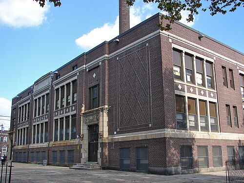
Barton School Philly A, Feltonville
Feltonville · Barton School Philly A
Photo: Smallbones, Public domain · Wikimedia Commons

How neighborhoods moved each quarter

2022

Whole-area crime rate 23.0 to 28.5 per 1,000 (high: Q3 2022).

Big moves (4+ places in a quarter): moved down McGuire 12th→16th (Q4)

2023

Whole-area crime rate 28.1 to 33.7 per 1,000 (high: Q3 2023).

Big moves (4+ places in a quarter): moved up McGuire 16th→12th (Q1) moved up Feltonville 15th→10th (Q2) moved down McGuire 12th→18th (Q2) moved up Upper Kensington 19th→15th (Q3) moved down Kensington, West 17th→21st (Q3)

2024

Whole-area crime rate 26.9 to 32.2 per 1,000 (high: Q3 2024).

Big moves (4+ places in a quarter): moved down McGuire 18th→22nd (Q1) moved up McGuire 22nd→15th (Q2) moved down McGuire 16th→20th (Q4)

2025

Whole-area crime rate 24.9 to 32.5 per 1,000 (high: Q3 2025).

Big moves (4+ places in a quarter): moved up Juniata Park 8th→3rd (Q1) moved up East Kensington 11th→4th (Q1) moved down Northwood 5th→9th (Q1) moved up Hartranft 16th→12th (Q1) moved up Mayfair 8th→3rd (Q2) moved down East Kensington 4th→9th (Q2) moved up McGuire 21st→15th (Q2) moved up Fairhill 22nd→18th (Q2) moved down Richmond 15th→19th (Q2) moved up McGuire 15th→10th (Q3) moved down East Kensington 9th→13th (Q3) moved down Kensington, West 17th→21st (Q3) moved down McGuire 10th→15th (Q4)

2026

Whole-area crime rate 25.7 to 33.2 per 1,000 (high: Q2 2026). 2 quarters so far.

Big moves (4+ places in a quarter): moved up Kensington, West 18th→12th (Q1) moved down Frankford 14th→21st (Q1) moved down Franklinville 17th→22nd (Q1) moved down Northwood 8th→12th (Q2) moved up Frankford 21st→14th (Q2)

Reported Safety Incidents

In Q2 2026: property incidents were 37% (4,446), violent incidents were 27% (3,250), vehicle crimes were 14% (1,677) and public order incidents were 8% (923).

Recorded crime here is grouped into violent crime, property crime (burglary and theft), vehicle crime and public order offences, so you can compare how safe each neighborhood is for the kind of crime that matters to you.

Read category comparisons with care. A category that jumps while the total hardly moves looks like a change in how offences are classified, not in what happened: Q1 2024: vehicle down 34% while the total moved 7%. The whole-area rate is the steadier guide.

Places we left out, and places to read with care

No place is left out: every neighborhood in this race has residents to count.

Crescentville (202.1 per 1,000 from 98 crimes among 485 residents) and McGuire (57.9 per 1,000 from 143 crimes among 2,469 residents) are places with few residents (under 3,000): a rate on so few people says little about living there, so they are not named as the lowest or highest.

The 23 neighborhoods on the map

Frankford is made of 23 neighborhoods compared here, each in its own colour on the map. They are the neighborhoods of OpenDataPhilly (Robert Cheetham, CC BY), grouped into areas of the city by CrimesLog: 366,160 residents between them.

  • Bridesburg
  • Crescentville
  • East Kensington
  • Fairhill
  • Feltonville
  • Fishtown - Lower Kensington
  • Frankford
  • Franklinville
  • Harrowgate
  • Hartranft
  • Hunting Park
  • Juniata Park
  • Kensington, Old
  • Kensington, West
  • Lawndale
  • Mayfair
  • McGuire
  • Northwood
  • Oxford Circle
  • Richmond
  • Summerdale
  • Upper Kensington
  • Wissinoming

All 23 neighborhoods, Q2 2026

Crimes per 1,000 residents, Q2 2026, lowest first. The last two columns compare with Q1 2022.
#NeighborhoodResidentsAllViolentPropertyVehiclePublic orderRate vs Q1 2022Places gained
1Oxford Circle51,18915.43.87.13.90.0up10%up1
2Summerdale8,35116.55.06.73.40.1up4%up2
3Mayfair37,34918.33.97.84.30.0up43%down2
4Bridesburg6,49218.85.18.83.20.0up12%up2
5Wissinoming23,31221.46.110.13.40.1up14%up2
6Fishtown - Lower Kensington17,91323.24.012.55.10.1up18%up2
7Juniata Park18,92323.55.59.16.01.2up9%up3
8East Kensington6,76927.94.410.86.83.3up2%up6
9Kensington, Old5,69228.55.310.710.40.7down4%up6
10Lawndale23,52129.24.320.82.90.0up84%down7
11Feltonville15,80530.28.010.26.20.5up48%down2
12Northwood9,61633.74.621.26.20.1up105%down7
13Hartranft19,26835.813.113.34.00.4up57%down1
14Frankford21,84836.613.112.34.50.4up18%up3
15Kensington, West10,86641.915.611.36.42.6up21%up4
16Hunting Park16,40144.919.312.63.80.8up48%–
17Richmond25,86655.611.217.04.111.2up146%down6
18McGuire †2,46957.919.416.62.46.5up127%down5
19Fairhill3,57759.017.121.39.53.6up16%up2
20Franklinville6,62561.419.521.47.31.1up51%–
21Harrowgate11,85963.520.116.95.710.3up13%up1
22Upper Kensington21,96467.616.911.53.516.2up108%down4
23Crescentville †485202.151.5113.422.70.0up2%–

† Crescentville and McGuire are places with few residents. A rate on a very small number of residents or crimes is not comparable with the others.

Photographs

39 photographs of the 23 neighborhoods run along the reel; click one to see it full size. Each is credited here and under the large view.

All 39 photographs and their credits
  1. Mayfair · E Allen School Philly. Photo: Smallbones, Public domain · Wikimedia Commons
  2. Wissinoming · Sullivan School Philly B. Photo: Smallbones, Public domain · Wikimedia Commons
  3. Fishtown - Lower Kensington · St Mary's Hospital on Memphis St, Philly. Photo: Smallbones, CC0 · Wikimedia Commons
  4. Juniata Park · Mackley NE Philly. Photo: Smallbones, Public domain · Wikimedia Commons
  5. East Kensington · Kensington HS Philly. Photo: Smallbones, Public domain · Wikimedia Commons
  6. Kensington, Old · Drueding Bros Co Building Philly. Photo: Smallbones, CC0 · Wikimedia Commons
  7. Lawndale · Franklin School Philly. Photo: Smallbones, Public domain · Wikimedia Commons
  8. Feltonville · Barton School Philly A. Photo: Smallbones, Public domain · Wikimedia Commons
  9. Hartranft · Charles Library Winter. Photo: Jim.henderson, CC BY 4.0 · Wikimedia Commons
  10. Frankford · Harding Jr HS Philly. Photo: Smallbones, Public domain · Wikimedia Commons
  11. Kensington, West · Adamson School Philly. Photo: Smallbones, Public domain · Wikimedia Commons
  12. Hunting Park · Nat Bank North Philly. Photo: Smallbones, Public domain · Wikimedia Commons
  13. Richmond · JP Jones School Philly. Photo: Smallbones, Public domain · Wikimedia Commons
  14. Franklinville · Zion Baptist Church Of Philadelphia. Photo: ajay_suresh, CC BY 2.0 · Wikimedia Commons
  15. Harrowgate · TiogaStation. Photo: Ii2nmd, CC BY 4.0 · Wikimedia Commons
  16. Upper Kensington · Kensington YWCA Philly. Photo: Smallbones, Public domain · Wikimedia Commons
  17. Mayfair · Former Mayfair Theater, 1937-85, 7300 Frankford at Cottman, Philadelphia. Photo: Scavenger49, CC BY 2.0 · Flickr
  18. Fishtown - Lower Kensington · Brownhill & Kramer Hose, NE Philly 3. Photo: Smallbones, CC0 · Wikimedia Commons
  19. Juniata Park · Hopkinson School Philly. Photo: Smallbones, Public domain · Wikimedia Commons
  20. Lawndale · Creighton School Philly. Photo: Smallbones, Public domain · Wikimedia Commons
  21. Hartranft · Charles Library in 2023. Photo: ImagineerJC, CC0 · Wikimedia Commons
  22. Frankford · JMarshall School Philly. Photo: Smallbones, Public domain · Wikimedia Commons
  23. Franklinville · Lewis Katz School of Medicine at Temple University. Photo: ajay_suresh, CC BY 2.0 · Wikimedia Commons
  24. Harrowgate · Horn School Philly. Photo: Smallbones, Public domain · Wikimedia Commons
  25. Fishtown - Lower Kensington · 2410 York Philly. Photo: Smallbones, Public domain · Wikimedia Commons
  26. Hartranft · Elverson School Philly. Photo: Smallbones, Public domain · Wikimedia Commons
  27. Frankford · Wilmot School Philly. Photo: Smallbones, Public domain · Wikimedia Commons
  28. Franklinville · Muhr School Philly. Photo: Smallbones, Public domain · Wikimedia Commons
  29. Fishtown - Lower Kensington · Chandler School Philly A. Photo: Smallbones, Public domain · Wikimedia Commons
  30. Hartranft · Ferguson School Philly. Photo: Smallbones, Public domain · Wikimedia Commons
  31. Frankford · Ruan House A Philly. Photo: Smallbones, Public domain · Wikimedia Commons
  32. Franklinville · Saint Veronica Catholic Church, Franklinville, North Philadelphia. Photo: Binx1966, CC0 · Wikimedia Commons
  33. Hartranft · Fox School of Business - Temple University. Photo: ajay_suresh, CC BY 2.0 · Wikimedia Commons
  34. Frankford · Smedley School NE Philly. Photo: Smallbones, Public domain · Wikimedia Commons
  35. Hartranft · NE Manual Training Philly. Photo: Smallbones, Public domain · Wikimedia Commons
  36. Frankford · Longfellow School Philly. Photo: Smallbones, Public domain · Wikimedia Commons
  37. Frankford · Roosevelt Theater 1926-62; 4739 Frankford, Philadelphia. Photo: Scavenger49, CC BY 2.0 · Flickr
  38. Frankford · Roosevelt Theater 1926-62; 4739 Frankford, Philadelphia. Photo: Scavenger49, CC BY 2.0 · Flickr
  39. Frankford · Glass Installation, 4670-72 Frankford, Philadelphia. Photo: Scavenger49, CC BY 2.0 · Flickr

Sources and notes

CrimesLog sources crime incident data published by the Philadelphia Police Department (PPD) through the City of Philadelphia Open Data Portal (OpenDataPhilly), containing public sector information released under a Creative Commons CC0 1.0 Universal public domain dedication.

Population: U.S. Census Bureau, American Community Survey 5-year estimates (public domain).

First-place medal: 1st Place Medal emoji icon by Icons8.

Neighborhood boundaries are defined by OpenDataPhilly / Robert Cheetham (CC BY), grouped into areas of the city by CrimesLog and simplified by CrimesLog. The photographs are credited under each picture.

Rates are recorded crimes per 1,000 residents, quarter by quarter; where a neighborhood has fewer than 100 residents the rate would be worked out on 100 (those places are left out of the race). A count of recorded crime is not a verdict on any neighborhood.