Philadelphia, Pennsylvania · Neighborhood crime trends

Philadelphia Airport

26 neighborhoods - a quarterly race to the lowest crime rate.

Crime Trends: Neighborhoods compared - each quarter from Q1 2022

Philadelphia as a whole averaged 25.7 crimes for every 1,000 residents per quarter in Q2 2026, while Airport averaged 29.6 (leaving out 2 places with almost no residents), hence it is generally less safe when all crimes are considered.

How do the 26 neighborhoods of Airport compare? In Q2 2026 the police recorded 7,388 crimes across them, 29.6 for every 1,000 residents. That is 1.8% below a year earlier and 24.5% above Q1 2022, the first quarter we track.

West Passyunk has the lowest rate of the everyday neighborhoods (13.2 per 1,000), followed by Newbold (13.4) and Penrose (14.0). Washington Square West has the highest (50.4).

Use the RACE CHARTS below to watch all 26 PHILADELPHIA AIRPORT NEIGHBORHOODs race across 18 quarter periods from Q1 2022 to Q2 2026 - one crime category at a time or all together. The race chart can be used to compare average crime rates by category against Philadelphia's average.

Neighborhood boundaries are defined by OpenDataPhilly / Robert Cheetham (CC BY) and simplified by CrimesLog.
Lowest rate (everyday)
lowest rateWest Passyunk
13.2 crimes per 1,000 residents, Q2 2026
Highest rate
upWashington Square West
50.4 per 1,000, Q2 2026
Whole area, Q2 2026
29.6 per 1,000
down 1.8% below a year earlier · up 24.5% above Q1 2022
Compared
26 neighborhoods
249,656 residents · 18 quarters

Philadelphia Airport neighborhood quarterly crime race

Press ▶︎ to watch Q1 2022 to Q2 2026. Tick one crime category or several; hover a bar for the neighborhood. Property crimes includes burglaries and thefts.

Crime categories
Indicated: crimes rate per 1000 residents per quarterAll · safest at the top · square-root scale · Q1 2022 to Q2 202605255010025038.3Bartram Village14.5Bella Vista13.3Clearview36.0Eastwick24.5Elmwood8.1Fitler Square27.1Girard Estates11.9Graduate Hospital20.8Grays Ferry9.8Hawthorne393Industrial24.9Kingsessing26.8Logan Square18.1Newbold9.4Packer Park33.4Paschall16.6Passyunk Square15.8Penrose17.9Point Breeze21.8Rittenhouse128Riverfront26.7Southwest Schuylkill36.2Stadium District20.8University City36.4Washington Square West17.7West PassyunkPhiladelphia Q2 2026 average all crimes (25.7)Numbers are crimes per 1,000 residents per quarter. Zero-crime quarters show 0 and rank safest. Not included, no residents: Airport; Navy Yard.
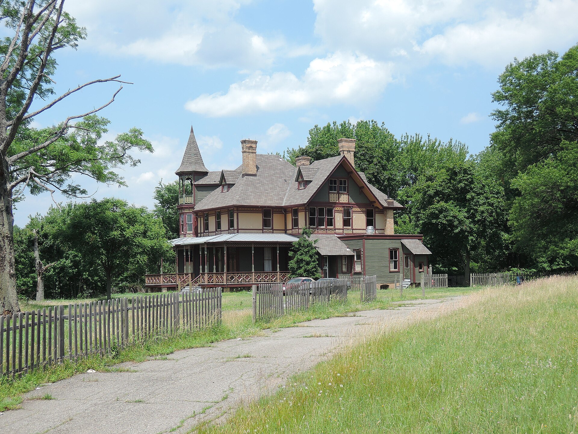
Kreischer House Uncut, Tottenville-Charleston You checked the neighborhood.Now check an address ! Photo: Jim.henderson, CC0 · Wikimedia Commons

For $34.00 a CrimesLog™ Home Report provides: (where available)

  • Nearest 6 Pre-school Nurseries to Address
  • Nearest 6 Primary Schools to Address
  • Nearest 6 Secondary/High Schools to Address
  • Nearest College and University to Address
  • Nearest to Address Medical Clinics, Hospitals and Pharmacies
  • Nearest 2 Police Station details to Address

The Home Report also provides

  • The CrimesLog™ Home Score is a proprietary Home Safety Measure capturing crime frequency, severity, recency and proximity to Address from police crime reporting point
  • A map indicating police anonymized crime reporting points around Address
  • Crime category trendlines for Address neighborhood
  • List of Reported Crime Incidents around Address radius
  • Downloadable PDF report — A Permanent Copy to Keep and Share to aid your Property Research
  • Our crimes database of almost 60 million records is UPDATED EVERY MONTH from US, UK, CA police sources
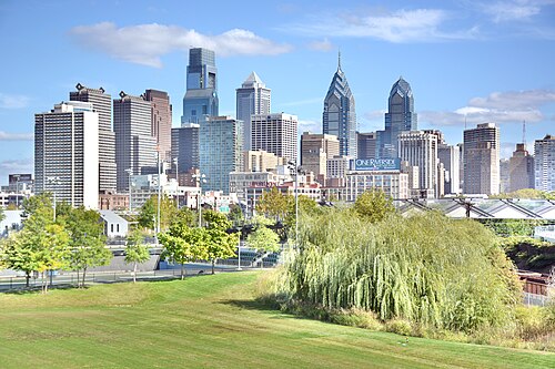
Philadelphia Skyline from South Street Bridge, Fitler Square
Fitler Square · Philadelphia Skyline from South Street Bridge
Photo: Mefman00, CC0 · Wikimedia Commons
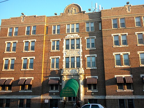
Baptist Institute, Newbold
Newbold · Baptist Institute
Photo: Smallbones, Public domain · Wikimedia Commons
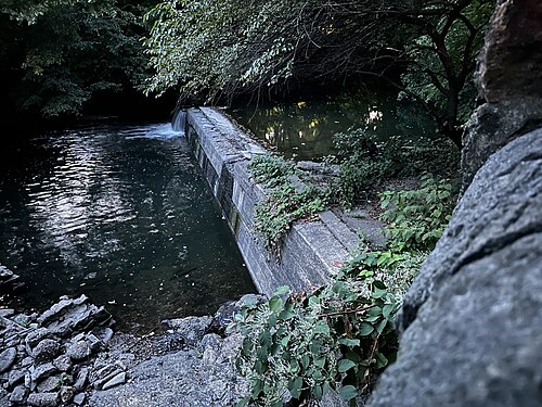
Dam on Cobbs Creek at Woodland Avenue 02, Clearview
Clearview · Dam on Cobbs Creek at Woodland Avenue 02
Photo: QuincyMorgan, CC0 · Wikimedia Commons
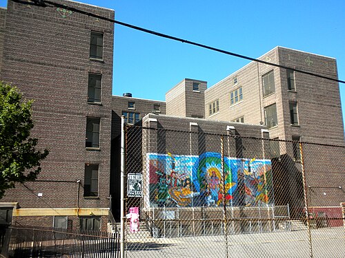
Nebinger School Philly, Bella Vista
Bella Vista · Nebinger School Philly
Photo: Smallbones, Public domain · Wikimedia Commons
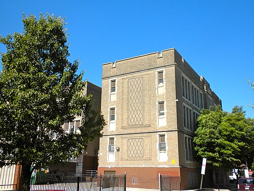
Federal Street School Philly, Passyunk Square
Passyunk Square · Federal Street School Philly
Photo: Smallbones, Public domain · Wikimedia Commons
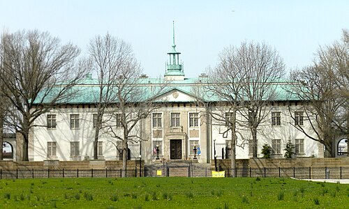
American Swedish Museum, Packer Park
Packer Park · American Swedish Museum
Photo: Smallbones, Public domain · Wikimedia Commons
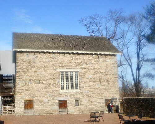
Bartrams Barn Philly, Bartram Village
Bartram Village · Bartrams Barn Philly
Photo: Smallbones, CC0 · Wikimedia Commons
The Spruce Street Entrance of the Houston Hall of the University of Pennsylvania, University City
University City · The Spruce Street Entrance of the Houston Hall of the University of Pennsylvania
Photo: AttaleianAnatolian, CC0 · Wikimedia Commons

How neighborhoods moved each quarter

2022

Whole-area crime rate 23.8 to 31.0 per 1,000 (high: Q3 2022).

Big moves (4+ places in a quarter): moved down Fitler Square 1st→5th (Q2) moved up Girard Estates 19th→11th (Q2) moved down Bella Vista 6th→14th (Q2) moved up Point Breeze 12th→8th (Q3) moved down Bella Vista 14th→18th (Q3) moved up Bella Vista 18th→9th (Q4) moved up Southwest Schuylkill 17th→13th (Q4) moved down Grays Ferry 11th→15th (Q4) moved down Girard Estates 12th→17th (Q4) moved up Bartram Village 22nd→18th (Q4)

2023

Whole-area crime rate 27.1 to 30.7 per 1,000 (high: Q2 2023).

Big moves (4+ places in a quarter): moved up Newbold 11th→7th (Q1) moved down Southwest Schuylkill 13th→17th (Q1) moved down Bartram Village 18th→22nd (Q1) moved up Passyunk Square 10th→3rd (Q2) moved up West Passyunk 8th→4th (Q2) moved up University City 12th→7th (Q2) moved down Clearview 4th→10th (Q2) moved down Point Breeze 6th→11th (Q2) moved down Penrose 3rd→12th (Q2) moved up Hawthorne 9th→5th (Q3) moved up Clearview 9th→3rd (Q4) moved up Penrose 12th→6th (Q4) moved down West Passyunk 3rd→7th (Q4) moved down Hawthorne 5th→9th (Q4) moved up Logan Square 19th→14th (Q4) moved down University City 10th→17th (Q4) moved down Southwest Schuylkill 15th→20th (Q4)

2024

Whole-area crime rate 25.0 to 31.2 per 1,000 (high: Q3 2024).

Big moves (4+ places in a quarter): moved up Hawthorne 9th→2nd (Q1) moved up University City 17th→13th (Q1) moved down Logan Square 14th→22nd (Q1) moved up West Passyunk 8th→4th (Q2) moved up Bella Vista 11th→7th (Q2) moved up University City 13th→9th (Q2) moved down Hawthorne 2nd→10th (Q2) moved up Southwest Schuylkill 19th→11th (Q2) moved down Graduate Hospital 7th→12th (Q2) moved up Logan Square 22nd→16th (Q2) moved up Paschall 24th→19th (Q2) moved down Penrose 9th→21st (Q2) moved up Penrose 21st→15th (Q3) moved down Southwest Schuylkill 11th→16th (Q3) moved down Logan Square 16th→21st (Q3) moved up Graduate Hospital 10th→4th (Q4) moved down Packer Park 1st→5th (Q4) moved up Bartram Village 19th→7th (Q4) moved down Hawthorne 7th→11th (Q4) moved down Kingsessing 13th→17th (Q4)

2025

Whole-area crime rate 24.3 to 31.0 per 1,000 (high: Q3 2025).

Big moves (4+ places in a quarter): moved up Newbold 6th→2nd (Q1) moved down Clearview 3rd→7th (Q1) moved up Elmwood 14th→10th (Q1) moved up Kingsessing 17th→13th (Q1) moved down Bartram Village 7th→18th (Q1) moved up Clearview 7th→3rd (Q2) moved up Hawthorne 14th→8th (Q2) moved up Bartram Village 18th→10th (Q2) moved up Logan Square 21st→13th (Q2) moved down Point Breeze 9th→17th (Q2) moved down Southwest Schuylkill 12th→18th (Q2) moved up West Passyunk 9th→4th (Q3) moved down Passyunk Square 2nd→7th (Q3) moved up Penrose 15th→9th (Q3) moved up Point Breeze 17th→11th (Q3) moved down Hawthorne 8th→12th (Q3) moved down Graduate Hospital 7th→13th (Q3) moved down University City 14th→19th (Q3) moved down West Passyunk 4th→8th (Q4) moved up University City 19th→15th (Q4) moved down Hawthorne 12th→19th (Q4)

2026

Whole-area crime rate 24.2 to 29.6 per 1,000 (high: Q2 2026). 2 quarters so far.

Big moves (4+ places in a quarter): moved up University City 15th→9th (Q1) moved down Kingsessing 9th→13th (Q1) moved up West Passyunk 6th→2nd (Q2) moved up Penrose 11th→4th (Q2) moved down Bella Vista 2nd→6th (Q2) moved down Packer Park 3rd→8th (Q2) moved up Hawthorne 19th→11th (Q2) moved down Kingsessing 13th→17th (Q2) moved down Point Breeze 10th→18th (Q2)

Reported Safety Incidents

In Q2 2026: property incidents were 52% (3,872), violent incidents were 22% (1,659), vehicle crimes were 12% (915) and public order incidents were 1% (95).

Recorded crime here is grouped into violent crime, property crime (burglary and theft), vehicle crime and public order offences, so you can compare how safe each neighborhood is for the kind of crime that matters to you.

Places we left out, and places to read with care

Left out: Airport; Navy Yard. They have almost no residents: their crimes are against visitors, so a rate per resident says little about living there.

Industrial (618.0 per 1,000 from 110 crimes among 178 residents), Riverfront (173.2 per 1,000 from 387 crimes among 2,235 residents), Fitler Square (9.4 per 1,000 from 21 crimes among 2,236 residents) and Bartram Village (18.5 per 1,000 from 43 crimes among 2,323 residents) are places with few residents (under 3,000): a rate on so few people says little about living there, so they are not named as the lowest or highest.

The 26 neighborhoods on the map

Airport is made of 26 neighborhoods compared here, each in its own colour on the map. They are the neighborhoods of OpenDataPhilly (Robert Cheetham, CC BY), grouped into areas of the city by CrimesLog: 249,656 residents between them.

  • Bartram Village
  • Bella Vista
  • Clearview
  • Eastwick
  • Elmwood
  • Fitler Square
  • Girard Estates
  • Graduate Hospital
  • Grays Ferry
  • Hawthorne
  • Industrial
  • Kingsessing
  • Logan Square
  • Newbold
  • Packer Park
  • Paschall
  • Passyunk Square
  • Penrose
  • Point Breeze
  • Rittenhouse
  • Riverfront
  • Southwest Schuylkill
  • Stadium District
  • University City
  • Washington Square West
  • West Passyunk

All 26 neighborhoods, Q2 2026

Crimes per 1,000 residents, Q2 2026, lowest first. The last two columns compare with Q1 2022.
#NeighborhoodResidentsAllViolentPropertyVehiclePublic orderRate vs Q1 2022Places gained
1Fitler Square †2,2369.40.94.54.00.0up17%–
2West Passyunk9,19013.23.75.43.00.0down26%up7
3Newbold8,06513.43.54.52.90.0down26%up8
4Penrose3,78814.03.24.83.40.0down12%up3
5Clearview3,32114.44.84.54.50.0up9%–
6Bella Vista4,97316.31.410.13.80.0up12%–
7Passyunk Square9,89317.22.910.03.60.1up4%up1
8Packer Park5,41718.31.712.43.50.6up94%down6
9Bartram Village †2,32318.56.95.63.00.0down52%up15
10University City18,66722.34.012.82.80.9up7%up2
11Hawthorne4,36925.43.416.34.60.0up158%down8
12Girard Estates11,02425.92.718.24.00.0down5%up7
13Southwest Schuylkill7,49126.49.311.34.10.3down1%up4
14Elmwood16,35226.510.48.93.10.2up8%up1
15Graduate Hospital13,99526.53.118.73.40.0up122%down11
16Logan Square14,21327.48.611.83.51.1up2%up2
17Kingsessing19,12327.611.210.03.00.1up11%down1
18Point Breeze17,17928.84.011.02.90.3up61%down8
19Rittenhouse25,34431.64.722.91.60.6up45%down5
20Grays Ferry15,07535.07.712.74.70.2up68%down7
21Paschall11,29138.715.113.35.00.2up16%down1
22Eastwick5,79745.09.325.28.30.0up25%down1
23Stadium District4,44747.010.321.49.02.3up30%down1
24Washington Square West13,67050.410.231.22.41.1up39%down1
25Riverfront †2,235173.218.8131.117.91.8up35%–
26Industrial †178618.061.8455.189.90.0up57%–

† Industrial, Riverfront, Fitler Square and Bartram Village are places with few residents. A rate on a very small number of residents or crimes is not comparable with the others.

Photographs

101 photographs of the 26 neighborhoods run along the reel; click one to see it full size. Each is credited here and under the large view.

All 101 photographs and their credits
  1. Fitler Square · Philadelphia Skyline from South Street Bridge. Photo: Mefman00, CC0 · Wikimedia Commons
  2. Newbold · Baptist Institute. Photo: Smallbones, Public domain · Wikimedia Commons
  3. Clearview · Dam on Cobbs Creek at Woodland Avenue 02. Photo: QuincyMorgan, CC0 · Wikimedia Commons
  4. Bella Vista · Nebinger School Philly. Photo: Smallbones, Public domain · Wikimedia Commons
  5. Passyunk Square · Federal Street School Philly. Photo: Smallbones, Public domain · Wikimedia Commons
  6. Packer Park · American Swedish Museum. Photo: Smallbones, Public domain · Wikimedia Commons
  7. Bartram Village · Bartrams Barn Philly. Photo: Smallbones, CC0 · Wikimedia Commons
  8. University City · The Spruce Street Entrance of the Houston Hall of the University of Pennsylvania. Photo: AttaleianAnatolian, CC0 · Wikimedia Commons
  9. Hawthorne · 1135 Washington Philly, PA. Photo: Smallbones, CC0 · Wikimedia Commons
  10. Girard Estates · EA Poe School Philly. Photo: Smallbones, Public domain · Wikimedia Commons
  11. Southwest Schuylkill · Mitchel School Philly. Photo: Smallbones, Public domain · Wikimedia Commons
  12. Elmwood · Patterson School Philly. Photo: Smallbones, Public domain · Wikimedia Commons
  13. Graduate Hospital · RoyalTheaterPhilly. Photo: Smallbones, Public domain · Wikimedia Commons
  14. Logan Square · Philadelphia Museum of Art (PMoA) - Stairs. Photo: ajay_suresh, CC BY 2.0 · Wikimedia Commons
  15. Kingsessing · Regent Rennoc Court. Photo: Smallbones, Public domain · Wikimedia Commons
  16. Point Breeze · George Childs School. Photo: Smallbones, Public domain · Wikimedia Commons
  17. Rittenhouse · Wesley AME Zion Philly. Photo: Smallbones, CC0 · Wikimedia Commons
  18. Grays Ferry · St. Gabriel School Grays Ferry. Photo: WhisperToMe, CC0 · Wikimedia Commons
  19. Eastwick · G Wolf School Philly. Photo: Smallbones, Public domain · Wikimedia Commons
  20. Stadium District · Front Street South Philadelphia 2. Photo: Ii2nmd, CC0 · Wikimedia Commons
  21. Washington Square West · 11th Street at Pine Street. Photo: Regan Vercruysse from Phelps, New York, USA, CC BY 2.0 · Wikimedia Commons
  22. Riverfront · Front Street Philadelphia. Photo: Ii2nmd, CC0 · Wikimedia Commons
  23. Airport · Philadelphia International Airport Station. Photo: Ii2nmd, CC0 · Wikimedia Commons
  24. Navy Yard · Broad Street Navy Yard. Photo: Ii2nmd, CC0 · Wikimedia Commons
  25. Clearview · Dam on Cobbs Creek at Woodland Avenue 01. Photo: QuincyMorgan, CC0 · Wikimedia Commons
  26. Bella Vista · Institute for Colored Youth. Photo: Smallbones, Public domain · Wikimedia Commons
  27. Packer Park · Philadelphia, PA Third Philadelphia Naval Hospital No Date (Circa 1940s). Photo: Adam from Champaign, Illinois, USA, CC BY 2.0 · Wikimedia Commons
  28. University City · Penn Museum's Warden Garden and Main Entrance, Summer 2012. Photo: Mefman00, CC0 · Wikimedia Commons
  29. Hawthorne · 1201 Washington Philly, PA. Photo: Smallbones, CC0 · Wikimedia Commons
  30. Girard Estates · Amadee Bregy School Philly. Photo: Smallbones, Public domain · Wikimedia Commons
  31. Elmwood · Tilden Jr HS 2. Photo: Smallbones, Public domain · Wikimedia Commons
  32. Graduate Hospital · Marine Depot Philly. Photo: Smallbones, Public domain · Wikimedia Commons
  33. Logan Square · Market Street West. Photo: Ii2nmd, CC0 · Wikimedia Commons
  34. Point Breeze · George Smith School Philly. Photo: Smallbones, Public domain · Wikimedia Commons
  35. Rittenhouse · Chestnut Street. Photo: Ii2nmd, CC0 · Wikimedia Commons
  36. Grays Ferry · A Wayne School Figures 2. Photo: Smallbones, Public domain · Wikimedia Commons
  37. Stadium District · Thomas School Philly. Photo: Smallbones, Public domain · Wikimedia Commons
  38. Washington Square West · Clinton St Historic District Philly. Photo: Smallbones, Public domain · Wikimedia Commons
  39. Riverfront · Front Street (Philadelphia). Photo: Ii2nmd, CC0 · Wikimedia Commons
  40. Airport · Fort Mifflin Philadelphia Pa. Photo: John Delacy, CC BY 3.0 · Wikimedia Commons
  41. Navy Yard · Broad Street and Constitution Avenue. Photo: Ii2nmd, CC0 · Wikimedia Commons
  42. Clearview · TB Read School Philly. Photo: Smallbones, Public domain · Wikimedia Commons
  43. Bella Vista · Italian Market - Philadelphia. Photo: Reading Tom from Reading, UK, CC BY 2.0 · Wikimedia Commons
  44. University City · Looking Out Over S 38th Street in Philadelphia 01. Photo: Magpieturtle, CC BY 4.0 · Wikimedia Commons
  45. Hawthorne · Curtis 1101 Washington Philly, PA. Photo: Smallbones, CC0 · Wikimedia Commons
  46. Graduate Hospital · St Anthony de Padua School. Photo: Smallbones, Public domain · Wikimedia Commons
  47. Logan Square · Market Street West 3. Photo: Ii2nmd, CC0 · Wikimedia Commons
  48. Rittenhouse · 229 S 22nd Philly. Photo: Smallbones, Public domain · Wikimedia Commons
  49. Grays Ferry · CY Audenreid HS Philly. Photo: Smallbones, Public domain · Wikimedia Commons
  50. Stadium District · Newlin Fell School Philly. Photo: Smallbones, Public domain · Wikimedia Commons
  51. Washington Square West · 916 Spruce Philly. Photo: Smallbones, Public domain · Wikimedia Commons
  52. Riverfront · City Tavern (Museum). Photo: ajay_suresh, CC BY 2.0 · Wikimedia Commons
  53. Airport · Philadelphia Airport System. Photo: Jesse Wagstaff, CC BY 2.0 · Flickr
  54. Navy Yard · 1200 Intrepid Building. Photo: Frank Vanhoof, CC BY 4.0 · Wikimedia Commons
  55. Bella Vista · Fleisher Art Memorial. Photo: Smallbones, Public domain · Wikimedia Commons
  56. University City · Looking Out Over S 38th Street in Philadelphia 03. Photo: Magpieturtle, CC BY 4.0 · Wikimedia Commons
  57. Hawthorne · Hawthorne School. Photo: Smallbones, Public domain · Wikimedia Commons
  58. Graduate Hospital · Stanton School Philly. Photo: Smallbones, Public domain · Wikimedia Commons
  59. Logan Square · Philadelphia Museum of Art (PMoA). Photo: ajay_suresh, CC BY 2.0 · Wikimedia Commons
  60. Rittenhouse · Ringgold Philly. Photo: Smallbones, Public domain · Wikimedia Commons
  61. Grays Ferry · Peirce School. Photo: Smallbones, Public domain · Wikimedia Commons
  62. Stadium District · Philadelphia Stadium. Photo: 4net, CC BY 3.0 · Wikimedia Commons
  63. Washington Square West · Social Service Building Philly. Photo: Smallbones, Public domain · Wikimedia Commons
  64. Riverfront · From Ship - Moshulu - USS Olympia C-6 Museum Ship. Photo: ---=XEON=---, CC BY 3.0 · Wikimedia Commons
  65. Navy Yard · Commandants Quarters PNS. Photo: Smallbones, Public domain · Wikimedia Commons
  66. Hawthorne · 1107 Kimbel Washington HD. Photo: Smallbones, Public domain · Wikimedia Commons
  67. Graduate Hospital · M Anderson House Philly. Photo: Smallbones, CC0 · Wikimedia Commons
  68. Logan Square · Harris Building Philly. Photo: Smallbones, Public domain · Wikimedia Commons
  69. Rittenhouse · Belgravia Philly. Photo: Smallbones, Public domain · Wikimedia Commons
  70. Grays Ferry · King of Peace School (Now Alcorn ES) 4. Photo: WhisperToMe, CC0 · Wikimedia Commons
  71. Stadium District · Philadelphia Stadium - Panoramio - 4net. Photo: 4net, CC BY 3.0 · Wikimedia Commons
  72. Washington Square West · 1022 Spruce Philly. Photo: Smallbones, Public domain · Wikimedia Commons
  73. Riverfront · Old Swedes Church - Philadelphia. Photo: Reading Tom from Reading, UK, CC BY 2.0 · Wikimedia Commons
  74. Navy Yard · Chapel of Four Chaplains - Flickr - JFGryphon. Photo: Jim Griffin, CC0 · Wikimedia Commons
  75. Graduate Hospital · Tindley Temple. Photo: Smallbones, Public domain · Wikimedia Commons
  76. Logan Square · Family Court Building - Philadelphia. Photo: ajay_suresh, CC BY 2.0 · Wikimedia Commons
  77. Rittenhouse · A J Reach Building Philly. Photo: Smallbones, Public domain · Wikimedia Commons
  78. Grays Ferry · Alcorn School Philly. Photo: Smallbones, Public domain · Wikimedia Commons
  79. Washington Square West · Former Site of the J. Sylvester Ramsey School. Photo: Mtvelasquez99, CC0 · Wikimedia Commons
  80. Riverfront · American Water. Photo: ajay_suresh, CC BY 2.0 · Wikimedia Commons
  81. Navy Yard · Frigate Row. Photo: R'lyeh Imaging, CC BY 2.0 · Flickr
  82. Graduate Hospital · Grays Rec Center. Photo: Smallbones, Public domain · Wikimedia Commons
  83. Logan Square · The Laurel Rittenhouse. Photo: Hij802, CC0 · Wikimedia Commons
  84. Rittenhouse · 251 S 22nd Philly. Photo: Smallbones, Public domain · Wikimedia Commons
  85. Grays Ferry · Img 0291 Jpg. Photo: Mary Perry, CC BY 3.0 · Wikimedia Commons
  86. Washington Square West · 1008 Clinton Philly. Photo: Smallbones, Public domain · Wikimedia Commons
  87. Graduate Hospital · Naval Asylum. Photo: army.arch, CC BY 2.0 · Wikimedia Commons
  88. Logan Square · Comcast Technology Center from Fairmount Park. Photo: Hij802, CC0 · Wikimedia Commons
  89. Rittenhouse · Warburton House. Photo: Smallbones, Public domain · Wikimedia Commons
  90. Washington Square West · 1 South Broad EVOL. Photo: Smallbones, CC0 · Wikimedia Commons
  91. Logan Square · Nextdoor to State Office Blg Philly. Photo: Smallbones, Public domain · Wikimedia Commons
  92. Rittenhouse · Rafsnyder-Welsh House. Photo: Smallbones, Public domain · Wikimedia Commons
  93. Washington Square West · 1 South Broad from West. Photo: Smallbones, CC0 · Wikimedia Commons
  94. Logan Square · 1924 Arch Philly B. Photo: Smallbones, CC0 · Wikimedia Commons
  95. Rittenhouse · Philly, Rittenhouse. Photo: shawnzam, CC BY 2.0 · Flickr
  96. Washington Square West · Ben Franklin Hotel. Photo: Smallbones, Public domain · Wikimedia Commons
  97. Logan Square · Harrington NRHP Philly. Photo: Smallbones, Public domain · Wikimedia Commons
  98. Rittenhouse · Rittenhouse Square Side Street. Photo: David Hilowitz, CC BY 2.0 · Flickr
  99. Washington Square West · Henry George Birthplace. Photo: Smallbones, Public domain · Wikimedia Commons
  100. Logan Square · Church of Jesus Christ of Latter-day Saints & Watermark at Logan Square, Philadelphia, August 9, 2022. Photo: the bridge, CC BY 2.0 · Flickr
  101. Logan Square · Fountains of Logan Square and the Free Library of Philadelphia. Photo: dianecordell, CC BY 2.0 · Flickr

Sources and notes

CrimesLog sources crime incident data published by the Philadelphia Police Department (PPD) through the City of Philadelphia Open Data Portal (OpenDataPhilly), containing public sector information released under a Creative Commons CC0 1.0 Universal public domain dedication.

Population: U.S. Census Bureau, American Community Survey 5-year estimates (public domain).

First-place medal: 1st Place Medal emoji icon by Icons8.

Neighborhood boundaries are defined by OpenDataPhilly / Robert Cheetham (CC BY), grouped into areas of the city by CrimesLog and simplified by CrimesLog. The photographs are credited under each picture.

Rates are recorded crimes per 1,000 residents, quarter by quarter; where a neighborhood has fewer than 100 residents the rate would be worked out on 100 (those places are left out of the race). A count of recorded crime is not a verdict on any neighborhood.