Chicago · Neighborhood crime trends

Chicago Downtown and North Side

8 neighborhoods - a quarterly race to the lowest crime rate.

Crime Trends: Neighborhoods compared - each quarter from Q1 2022

Chicago as a whole averaged 22.3 crimes for every 1,000 residents per quarter in Q2 2026, while downtown Chicago and the near North Side averaged 20.0, hence it is generally safer when all crimes are considered.

How do the 8 neighborhoods of downtown Chicago and the near North Side compare? In Q2 2026 the police recorded 9,880 crimes across them, 20.0 for every 1,000 residents. That is 4.3% below a year earlier and 34.2% above Q1 2022, the first quarter we track.

North Center has the lowest rate of the everyday neighborhoods (8.6 per 1,000), followed by Avondale (14.7) and Lincoln Park (15.1). Loop has the highest (47.1).

Use the RACE CHARTS below to watch all 8 CHICAGO DOWNTOWN AND NORTH SIDE NEIGHBORHOODs race across 18 quarter periods from Q1 2022 to Q2 2026 - one crime category at a time or all together. The race chart can be used to compare average crime rates by category against Chicago's average.

Neighborhood boundaries are defined by City of Chicago, community areas (Chicago Data Portal).
Lowest rate (everyday)
lowest rateNorth Center
8.6 crimes per 1,000 residents, Q2 2026
Highest rate
upLoop
47.1 per 1,000, Q2 2026
Whole area, Q2 2026
20.0 per 1,000
down 4.3% below a year earlier · up 34.2% above Q1 2022
Compared
8 neighborhoods
493,931 residents · 18 quarters

Chicago Downtown and North Side neighborhood quarterly crime race

Press ▶︎ to watch Q1 2022 to Q2 2026. Tick one crime category or several; hover a bar for the neighborhood. Property crimes includes burglaries and thefts.

Crime categories
Indicated: crimes rate per 1000 residents per quarterAll · safest at the top · square-root scale · Q1 2022 to Q2 2026015102510.7Avondale9.8Lake View9.3Lincoln Park11.4Logan Square36.9Loop19.9Near North Side18.8Near South Side7.0North CenterChicago Q2 2026 average all crimes (22.3)Numbers are crimes per 1,000 residents per quarter. Zero-crime quarters show 0 and rank safest.
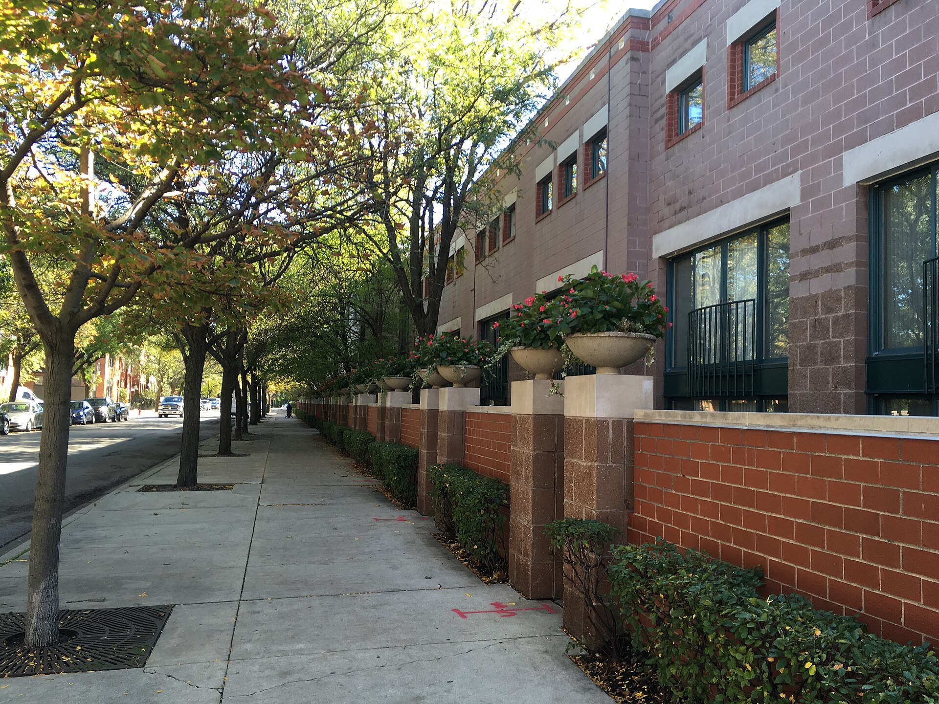
Rowhouses with Brick Wall, Lincoln Park You checked the neighborhood.Now check an address ! Photo: Eric Fischer, CC BY 2.0 · Wikimedia Commons

For $34.00 a CrimesLog™ Home Report provides: (where available)

  • Nearest 6 Pre-school Nurseries to Address
  • Nearest 6 Primary Schools to Address
  • Nearest 6 Secondary/High Schools to Address
  • Nearest College and University to Address
  • Nearest to Address Medical Clinics, Hospitals and Pharmacies
  • Nearest 2 Police Station details to Address

The Home Report also provides

  • The CrimesLog™ Home Score is a proprietary Home Safety Measure capturing crime frequency, severity, recency and proximity to Address from police crime reporting point
  • A map indicating police anonymized crime reporting points around Address
  • Crime category trendlines for Address neighborhood
  • List of Reported Crime Incidents around Address radius
  • Downloadable PDF report — A Permanent Copy to Keep and Share to aid your Property Research
  • Our crimes database of almost 60 million records is UPDATED EVERY MONTH from US, UK, CA police sources
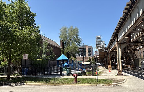
Filbert Park, Chicago, North Center
North Center · Filbert Park, Chicago
Photo: Nick Number, CC BY 4.0 · Wikimedia Commons
Dome Detail, Avondale
Avondale · Dome Detail
Photo: Frank Malawski, CC BY 2.0 · Wikimedia Commons
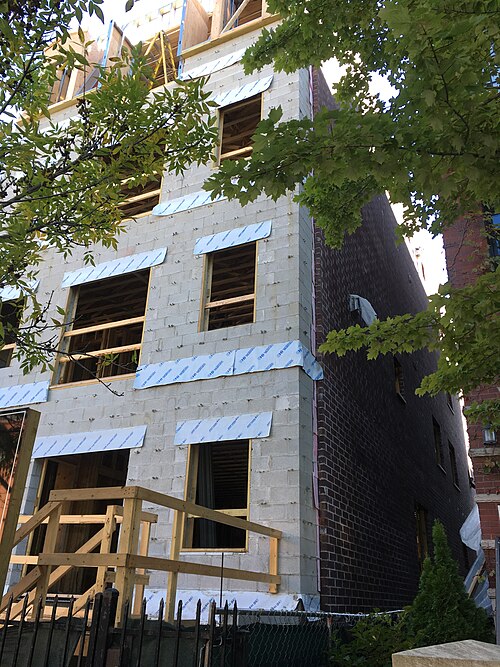
Brick Side Wall of Building Under Construction, Lincoln Park
Lincoln Park · Brick Side Wall of Building Under Construction
Photo: Eric Fischer, CC BY 2.0 · Wikimedia Commons
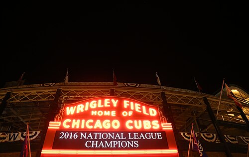
2016 National League Champions Wrigley Field Marquee 1, Lake View
Lake View · 2016 National League Champions Wrigley Field Marquee 1
Photo: Arturo Pardavila III from Hoboken, NJ, USA, CC BY 2.0 · Wikimedia Commons
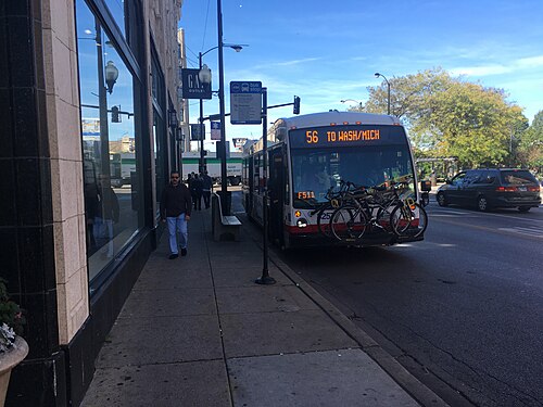
56 to Wash Mich CTA Bus with Bikes on Rack, Logan Square
Logan Square · 56 to Wash Mich CTA Bus with Bikes on Rack
Photo: Eric Fischer, CC BY 2.0 · Wikimedia Commons
Calumet Avenue Near 18th St., Near South Side
Near South Side · Calumet Avenue Near 18th St.
Photo: David Wilson from Oak Park, Illinois, USA, CC BY 2.0 · Wikimedia Commons
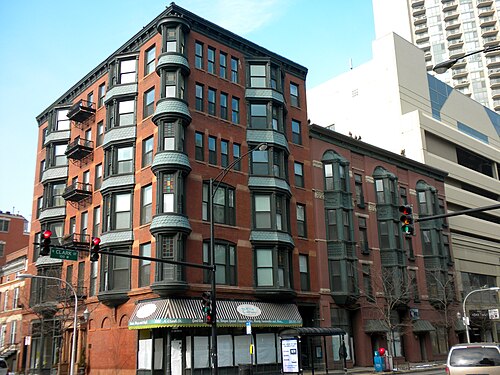
104 W Oak Chicago, Near North Side
Near North Side · 104 W Oak Chicago
Photo: Smallbones, Public domain · Wikimedia Commons
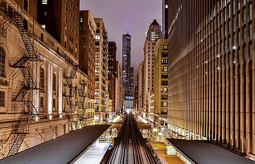
Adams-Wabash, Chicago (Unsplash), Loop
Loop · Adams-Wabash, Chicago (Unsplash)
Photo: Pedro Lastra peterlaster, CC0 · Wikimedia Commons

How neighborhoods moved each quarter

2022

Whole-area crime rate 14.9 to 22.0 per 1,000 (high: Q3 2022).

No neighborhood moved more than three places in a quarter.

2023

Whole-area crime rate 18.9 to 24.0 per 1,000 (high: Q3 2023).

No neighborhood moved more than three places in a quarter.

2024

Whole-area crime rate 19.8 to 24.4 per 1,000 (high: Q3 2024).

No neighborhood moved more than three places in a quarter.

2025

Whole-area crime rate 18.0 to 22.2 per 1,000 (high: Q3 2025).

No neighborhood moved more than three places in a quarter.

2026

Whole-area crime rate 18.2 to 20.0 per 1,000 (high: Q2 2026). 2 quarters so far.

No neighborhood moved more than three places in a quarter.

Reported Safety Incidents

In Q2 2026: property incidents were 65% (6,461), violent incidents were 21% (2,091), vehicle crimes were 6% (585) and public order incidents were 3% (310).

Recorded crime here is grouped into violent crime, property crime (burglary and theft), vehicle crime and public order offences, so you can compare how safe each neighborhood is for the kind of crime that matters to you.

Places we left out, and places to read with care

No place is left out: every neighborhood in this race has residents to count.

The 8 neighborhoods on the map

Downtown and North Side is made of 8 neighborhoods compared here, each in its own colour on the map. They are the City of Chicago’s official community areas, grouped into eight sides of the city by CrimesLog: 493,931 residents between them.

  • Avondale
  • Lake View
  • Lincoln Park
  • Logan Square
  • Loop
  • Near North Side
  • Near South Side
  • North Center

All 8 neighborhoods, Q2 2026

Crimes per 1,000 residents, Q2 2026, lowest first. The last two columns compare with Q1 2022.
#NeighborhoodResidentsAllViolentPropertyVehiclePublic orderRate vs Q1 2022Places gained
1North Center36,0148.61.65.60.90.1up23%–
2Avondale35,53314.72.89.80.90.3up37%up2
3Lincoln Park67,98715.12.410.61.20.3up62%down1
4Lake View102,82715.83.010.70.80.4up62%down1
5Logan Square71,20716.73.010.81.40.3up46%–
6Near South Side30,48218.46.28.91.41.1down2%–
7Near North Side107,33124.65.616.31.10.7up24%–
8Loop42,55047.110.630.52.32.4up28%–

Photographs

86 photographs of the 8 neighborhoods run along the reel; click one to see it full size. Each is credited here and under the large view.

All 86 photographs and their credits
  1. North Center · Filbert Park, Chicago. Photo: Nick Number, CC BY 4.0 · Wikimedia Commons
  2. Avondale · Dome Detail. Photo: Frank Malawski, CC BY 2.0 · Wikimedia Commons
  3. Lincoln Park · Brick Side Wall of Building Under Construction. Photo: Eric Fischer, CC BY 2.0 · Wikimedia Commons
  4. Lake View · 2016 National League Champions Wrigley Field Marquee 1. Photo: Arturo Pardavila III from Hoboken, NJ, USA, CC BY 2.0 · Wikimedia Commons
  5. Logan Square · 56 to Wash Mich CTA Bus with Bikes on Rack. Photo: Eric Fischer, CC BY 2.0 · Wikimedia Commons
  6. Near South Side · Calumet Avenue Near 18th St.. Photo: David Wilson from Oak Park, Illinois, USA, CC BY 2.0 · Wikimedia Commons
  7. Near North Side · 104 W Oak Chicago. Photo: Smallbones, Public domain · Wikimedia Commons
  8. Loop · Adams-Wabash, Chicago (Unsplash). Photo: Pedro Lastra peterlaster, CC0 · Wikimedia Commons
  9. North Center · Clark Park Boat Launch, Chicago, 2022. Photo: David Wilson from Oak Park, Illinois, USA, CC BY 2.0 · Wikimedia Commons
  10. Avondale · Chicago (Wicker Park). Photo: Jakob von Raumer, CC BY 3.0 · Wikimedia Commons
  11. Lincoln Park · 8 Halsted Bus. Photo: Eric Fischer, CC BY 2.0 · Wikimedia Commons
  12. Lake View · 2016 National League Champions Wrigley Field Marquee 3. Photo: Arturo Pardavila III from Hoboken, NJ, USA, CC BY 2.0 · Wikimedia Commons
  13. Logan Square · 76 to Nature Museum CTA Bus. Photo: Eric Fischer, CC BY 2.0 · Wikimedia Commons
  14. Near South Side · Prairie Avenue Near 18th St.. Photo: David Wilson from Oak Park, Illinois, USA, CC BY 2.0 · Wikimedia Commons
  15. Near North Side · "L" Tracks Over the Street. Photo: Eric Fischer, CC BY 2.0 · Wikimedia Commons
  16. Loop · Art Institute of Chicago South Garden. Photo: Raed Mansour, CC BY 2.0 · Wikimedia Commons
  17. North Center · Garage, Death Site of 45th Ward Alderman Charlie Weber. Photo: Stephen Hogan from Chicago, United States, CC BY 2.0 · Wikimedia Commons
  18. Avondale · Belmont-Avondale-Logan Square Neighborhood Map. Photo: Eric Fischer, CC BY 2.0 · Wikimedia Commons
  19. Lincoln Park · Biograph Theater Where John Dillinger Was Shot and Killed. Photo: Stephen Hogan from Chicago, United States, CC BY 2.0 · Wikimedia Commons
  20. Lake View · Waveland Clock Tower. Photo: Bohao Zhao, CC BY 3.0 · Wikimedia Commons
  21. Logan Square · Bank of Puerto Rico, Logan Square, Chicago 1993. Photo: Phillip Capper from Wellington, New Zealand, CC BY 2.0 · Wikimedia Commons
  22. Near South Side · Henry B. Clarke House. Photo: David Wilson from Oak Park, Illinois, USA, CC BY 2.0 · Wikimedia Commons
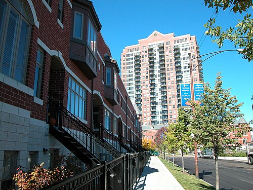
  23. Near North Side · New Construction Rowhouses. Photo: Eric Fischer, CC BY 2.0 · Wikimedia Commons
  24. Loop · Britannica Center. Photo: Reading Tom from Reading, UK, CC BY 2.0 · Wikimedia Commons
  25. North Center · Garage, Death Site of 45th Ward Alderman Charlie Weber. Photo: Stephen Hogan from Chicago, United States, CC BY 2.0 · Wikimedia Commons
  26. Avondale · 56 Milwaukee Via Loop Link CTA Bus. Photo: Eric Fischer, CC BY 2.0 · Wikimedia Commons
  27. Lincoln Park · 2241-2243 N Geneva Terrace, Chicago, Illinois. Photo: Pokemonprime, CC BY 4.0 · Wikimedia Commons
  28. Lake View · New Buildings on Right. Photo: Eric Fischer, CC BY 2.0 · Wikimedia Commons
  29. Logan Square · Blue Line Portal. Photo: Steven Vance from Chicago, United States, CC BY 2.0 · Wikimedia Commons
  30. Near South Side · CN IC 5637 at 16th Street Junction. Photo: vxla, CC BY 2.0 · Wikimedia Commons
  31. Near North Side · Too-wide Patio Dining on Building Side of Sidewalk. Photo: Eric Fischer, CC BY 2.0 · Wikimedia Commons
  32. Loop · Central Camera & Industry Ales, Chicago, Illinois. Photo: Pokemonprime, CC BY 4.0 · Wikimedia Commons
  33. North Center · Belmont Avenue at the North Branch Chicago River. Photo: AlphaBeta135, CC BY 4.0 · Wikimedia Commons
  34. Avondale · Commercial Street Corner. Photo: Eric Fischer, CC BY 2.0 · Wikimedia Commons
  35. Lincoln Park · 2233 N Geneva Terrace, Chicago, Illinois. Photo: Pokemonprime, CC BY 4.0 · Wikimedia Commons
  36. Lake View · Looking Across the Street from Medical Building Setback. Photo: Eric Fischer, CC BY 2.0 · Wikimedia Commons
  37. Logan Square · California CTA Blue Line Station. Photo: Eric Fischer, CC BY 2.0 · Wikimedia Commons
  38. Near South Side · 18th St Bridge from Northeast (2012). Photo: Jaysin Trevino from Evanston, IL, US, CC BY 2.0 · Wikimedia Commons
  39. Loop · Begin Route 66 Sign in Chicago (October 2021). Photo: AlphaBeta135, CC BY 4.0 · Wikimedia Commons
  40. Avondale · Belmont-Blue-Line-Station-House-01. Photo: Mudwater, CC0 · Wikimedia Commons
  41. Lincoln Park · CTA 5636 at Fullerton Station, Chicago, Illinois. Photo: Pokemonprime, CC BY 4.0 · Wikimedia Commons
  42. Lake View · Street Cleaning Sign with Picture of Street Sweeper. Photo: Eric Fischer, CC BY 2.0 · Wikimedia Commons
  43. Logan Square · California CTA Blue Line Station. Photo: Eric Fischer, CC BY 2.0 · Wikimedia Commons
  44. Loop · Begin Route 66 Sign in Chicago (June 2025). Photo: AlphaBeta135, CC BY 4.0 · Wikimedia Commons
  45. Avondale · Elston Park, Chicago. Photo: Nick Number, CC BY 4.0 · Wikimedia Commons
  46. Lincoln Park · CTA 5667 at Fullerton Station, Chicago, Illinois. Photo: Pokemonprime, CC BY 4.0 · Wikimedia Commons
  47. Logan Square · Bikes Outside Logan Square Station Entrance. Photo: Eric Fischer, CC BY 2.0 · Wikimedia Commons
  48. Loop · Chicago (ILL) Willis Tower ( Ex. SEARS Tower ) 1974, East Side " the Loop ". Photo: (vincent desjardins) from Paris, France, CC BY 2.0 · Wikimedia Commons
  49. Avondale · Avondale Park, Chicago. Photo: Nick Number, CC BY 4.0 · Wikimedia Commons
  50. Lincoln Park · 828 W Fullerton Avenue, Chicago, Illinois. Photo: Pokemonprime, CC BY 4.0 · Wikimedia Commons
  51. Logan Square · The MegaMall Block- View Looking North from Sacramento. Photo: Daniel X. O'Neil from USA, CC BY 2.0 · Wikimedia Commons
  52. Loop · 111 West Monroe Towers North. Photo: Visviva, CC0 · Wikimedia Commons
  53. Avondale · Narrow Passage Around Street Trees and Sidewalk Cafe. Photo: Eric Fischer, CC BY 2.0 · Wikimedia Commons
  54. Lincoln Park · 838-836 W Fullerton Avenue, Chicago, Illinois. Photo: Pokemonprime, CC BY 4.0 · Wikimedia Commons
  55. Logan Square · Church. Photo: bogdanstepniak, CC BY 3.0 · Wikimedia Commons
  56. Loop · Black Streets (Unsplash). Photo: Alex Iby ibydesigns, CC0 · Wikimedia Commons
  57. Avondale · Pumping Station One Front. Photo: Nick Number, CC BY 4.0 · Wikimedia Commons
  58. Lincoln Park · 834 & 832 W Fullerton Avenue, Chicago, Illinois. Photo: Pokemonprime, CC BY 4.0 · Wikimedia Commons
  59. Logan Square · House in Chicago with Halloween Decorations. Photo: CauliflowerMoon, CC BY 4.0 · Wikimedia Commons
  60. Loop · Carson, Pirie, Scott and Company Building (Louis Sullivan) - Chicago IL. Photo: Esther Westerveld from Nieuwkoop, Nederland, CC BY 2.0 · Wikimedia Commons
  61. Avondale · Saint Hyacinth Stained Glass Dome. Photo: Frank Malawski, CC BY 2.0 · Wikimedia Commons
  62. Lincoln Park · 2462 & 2464 N Orchard St, Chicago, Illinois. Photo: Pokemonprime, CC BY 4.0 · Wikimedia Commons
  63. Logan Square · New Buildings with Gradual Setback. Photo: Eric Fischer, CC BY 2.0 · Wikimedia Commons
  64. Loop · Carson, Pirie, Scott and Company Building (Louis Sullivan) - Chicago IL. Photo: Esther Westerveld from Nieuwkoop, Nederland, CC BY 2.0 · Wikimedia Commons
  65. Avondale · Narrow Apartment Courtyard. Photo: Eric Fischer, CC BY 2.0 · Wikimedia Commons
  66. Lincoln Park · 2444 N Orchard St, Chicago, Illinois. Photo: Pokemonprime, CC BY 4.0 · Wikimedia Commons
  67. Logan Square · Wide New Buildings. Photo: Eric Fischer, CC BY 2.0 · Wikimedia Commons
  68. Loop · "CSO" on the AON Tower. Photo: vxla, CC BY 2.0 · Wikimedia Commons
  69. Avondale · St Wenceslaus in Chicago. Photo: Orestek, Public domain · Wikimedia Commons
  70. Lincoln Park · 2476, 2478, 2480 N Orchard St, Chicago, Illinois. Photo: Pokemonprime, CC BY 4.0 · Wikimedia Commons
  71. Logan Square · New Buildings and Old House. Photo: Eric Fischer, CC BY 2.0 · Wikimedia Commons
  72. Avondale · Kościół Parafialny Św. Jacka W Chicago. Photo: Wuhazet, CC BY 3.0 · Wikimedia Commons
  73. Lincoln Park · 2409 N Geneva Terrace, Chicago, Illinois. Photo: Pokemonprime, CC BY 4.0 · Wikimedia Commons
  74. Logan Square · Four-story House and Smaller Houses. Photo: Eric Fischer, CC BY 2.0 · Wikimedia Commons
  75. Lincoln Park · Biograph Theater, Chicago, Illinois. Photo: Pokemonprime, CC BY 4.0 · Wikimedia Commons
  76. Logan Square · Long New Building. Photo: Eric Fischer, CC BY 2.0 · Wikimedia Commons
  77. Lincoln Park · North Avenue Beach. Photo: Bohao Zhao, CC BY 3.0 · Wikimedia Commons
  78. Logan Square · New Glassy Building Looms Behind Old Masonry Buildings. Photo: Eric Fischer, CC BY 2.0 · Wikimedia Commons
  79. Lincoln Park · Lincoln Park Athletic Club Climbing Wall. Photo: Eric Fischer, CC BY 2.0 · Wikimedia Commons
  80. Lincoln Park · Nearly Triangular Houses. Photo: Eric Fischer, CC BY 2.0 · Wikimedia Commons
  81. Lincoln Park · This Building Was Probably Not Always Residential. Photo: Eric Fischer, CC BY 2.0 · Wikimedia Commons
  82. Lincoln Park · Rowhouses with Brick Wall. Photo: Eric Fischer, CC BY 2.0 · Wikimedia Commons
  83. Lincoln Park · Buildings with Some Infill That Doesn't Fit Quite Right. Photo: Eric Fischer, CC BY 2.0 · Wikimedia Commons
  84. Lincoln Park · Ivy-covered Building. Photo: Eric Fischer, CC BY 2.0 · Wikimedia Commons
  85. Lincoln Park · Duplex and Simplex Houses. Photo: Eric Fischer, CC BY 2.0 · Wikimedia Commons
  86. Lincoln Park · Row of Houses, Villa D'Citta. Photo: Eric Fischer, CC BY 2.0 · Wikimedia Commons

Sources and notes

CrimesLog sources crime incident data published by the Chicago Police Department (CPD) through the City of Chicago Open Data Portal, providing public sector information released under the City of Chicago Terms of Use.

Population: U.S. Census Bureau, American Community Survey 5-year estimates (public domain).

First-place medal: 1st Place Medal emoji icon by Icons8.

Neighborhood boundaries are defined by City of Chicago, community areas (Chicago Data Portal), provided as is, grouped into eight sides of the city by CrimesLog and simplified by CrimesLog. The photographs are credited under each picture.

Rates are recorded crimes per 1,000 residents, quarter by quarter; where a neighborhood has fewer than 100 residents the rate would be worked out on 100 (those places are left out of the race). A count of recorded crime is not a verdict on any neighborhood.