London · Neighbourhood crime trends

London Lewisham

21 neighbourhoods - a quarterly race to the lowest crime rate.

Crime Trends: Neighbourhoods compared - each quarter from Q1 2023

London as a whole averaged 28.0 crimes for every 1,000 residents per quarter in Q2 2026, while Lewisham averaged 28.4 (leaving out 1 place with almost no residents), hence it is generally about as safe as London as a whole when all crimes are considered.

How do the 21 neighbourhoods of Lewisham compare? In Q2 2026 the police recorded 8,855 crimes across them, 28.4 for every 1,000 residents. That is 3.6% above a year earlier and 16.9% above Q1 2023, the first quarter we track.

Honor Oak Park has the lowest rate of the everyday neighbourhoods (16.3 per 1,000), followed by Forest Hill (18.2) and Brockley (19.3). Lewisham has the highest (54.1).

Use the RACE CHARTS below to watch all 21 LONDON LEWISHAM NEIGHBOURHOODs race across 14 quarter periods from Q1 2023 to Q2 2026 - one crime category at a time or all together. The race chart can be used to compare average crime rates by category against London's average.

Neighbourhood areas derived by CrimesLog from rail station locations (NaPTAN, Department for Transport) and OS Open Names. Contains OS data © Crown copyright and database right 2024; contains public sector information licensed under the Open Government Licence v3.0.
Lowest rate (everyday)
lowest rateHonor Oak Park
16.3 crimes per 1,000 residents, Q2 2026
Highest rate
upLewisham
54.1 per 1,000, Q2 2026
Whole area, Q2 2026
28.4 per 1,000
up 3.6% above a year earlier · up 16.9% above Q1 2023
Compared
21 neighbourhoods
311,540 residents · 14 quarters

London Lewisham neighbourhood quarterly crime race

Press ▶︎ to watch Q1 2023 to Q2 2026. Tick one crime category or several; hover a bar for the neighbourhood. Property crimes includes burglaries and thefts.

Crime categories
Indicated: crimes rate per 1000 residents per quarterAll · safest at the top · square-root scale · Q1 2023 to Q2 2026015102522.6Beckenham Hill23.2Bellingham26.2Blackheath19.4Brockley22.3Catford37.8Catford Bridge22.7Crofton Park30.8Deptford26.6Deptford Bridge23.5Elverson Road22.6Forest Hill18.1Grove Park19.9Hither Green16.4Honor Oak Park35.0Ladywell18.2Lee35.3Lewisham35.6Lower Sydenham27.8New Cross24.1New Cross Gate25.1SydenhamLondon Q2 2026 average all crimes (28.0)Numbers are crimes per 1,000 residents per quarter. Zero-crime quarters show 0 and rank safest. Not included, no residents: Downham.
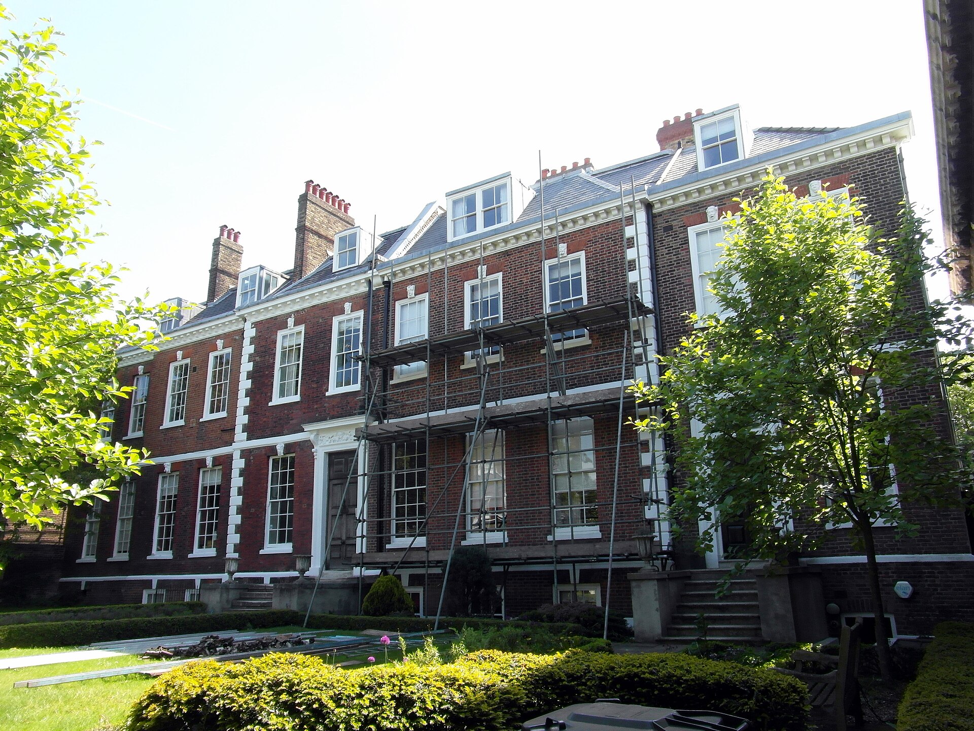
Spencer and Perceval Houses, Elverson Road You checked the neighbourhood.Now check an address ! Photo: Reading Tom from Reading, UK, CC BY 2.0 · Wikimedia Commons

For £24.99 a CrimesLog™ Home Report provides: (where available)

  • Nearest 6 Pre-school Nurseries to Address
  • Nearest 6 Primary Schools to Address
  • Nearest 6 Secondary/High Schools to Address
  • Nearest College and University to Address
  • Nearest to Address GP Practice/Health Centres, Hospitals and Pharmacies
  • Nearest 2 Police Station details to Address

The Home Report also provides

  • The CrimesLog™ Home Score is a proprietary Home Safety Measure capturing crime frequency, severity, recency and proximity to Address from police crime reporting point
  • A map indicating police anonymised crime reporting points around Address
  • Crime category trendlines for Address neighbourhood
  • List of Reported Crime Incidents around Address radius
  • Downloadable PDF report — A Permanent Copy to Keep and Share to aid your Property Research
  • Our crimes database of almost 60 million records is UPDATED EVERY MONTH from US, UK, CA police sources
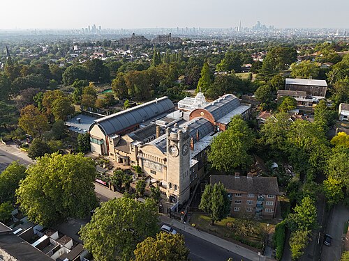
An Aerial View of the Horniman Museum, Forest Hill
Forest Hill · An Aerial View of the Horniman Museum
Photo: OrdinaryTomatoes, CC BY 4.0 · Wikimedia Commons
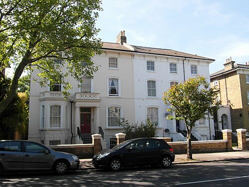
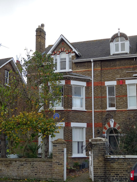
Wickham Road, Brockley
Brockley · Wickham Road
Photo: Reading Tom from Reading, UK, CC BY 2.0 · Wikimedia Commons
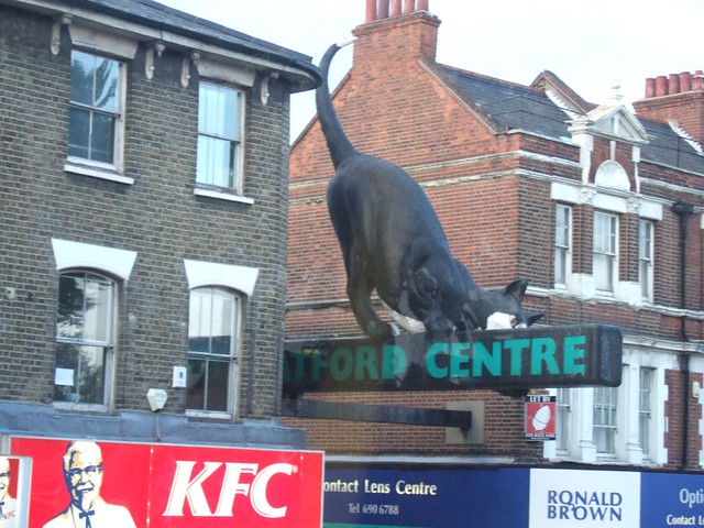
The Catford Cat, Catford
Catford · The Catford Cat
Photo: Ben Sutherland, CC BY 2.0 · Flickr
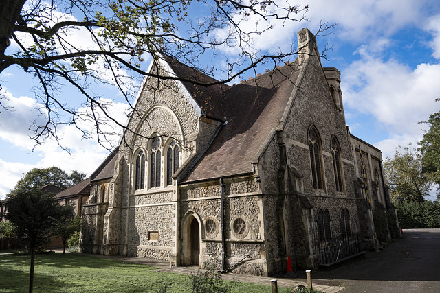
St Augustine's, Grove Park, Grove Park
Grove Park · St Augustine's, Grove Park
Photo: London Less Travelled, CC BY 2.0 · Flickr
Staten Island Railway STANLEY UNWIN - 13 Handen Road Lee London SE12 8NP, Lee
Lee · Staten Island Railway STANLEY UNWIN - 13 Handen Road Lee London SE12 8NP
Photo: Spudgun67, CC BY 2.0 · Flickr
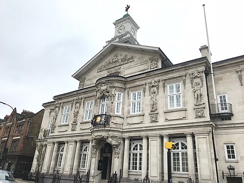
Deptford Town Hall, New Cross Gate
New Cross Gate · Deptford Town Hall
Photo: Matt Brown from London, England, CC BY 2.0 · Wikimedia Commons
St Hilda's Crofton Park, Crofton Park
Crofton Park · St Hilda's Crofton Park
Photo: London Less Travelled, CC BY 2.0 · Flickr
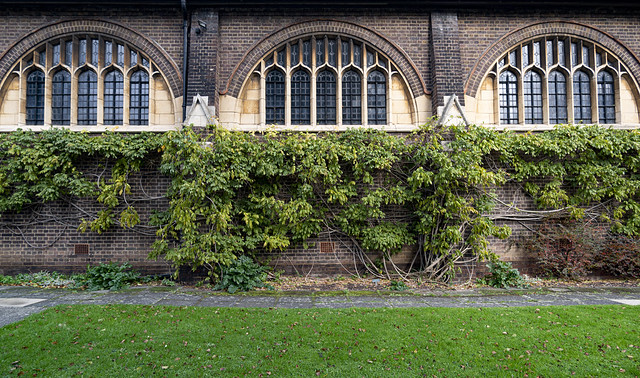
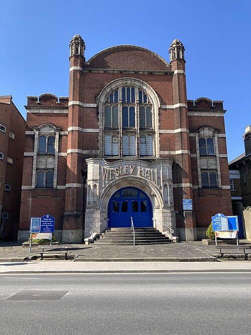
Sydenham Wesley Hall, Sydenham
Sydenham · Sydenham Wesley Hall
Photo: Matt Brown, CC BY 2.0 · Wikimedia Commons

How neighbourhoods moved each quarter

2023

Whole-area crime rate 24.3 to 27.7 per 1,000 (high: Q3 2023).

Big moves (4+ places in a quarter): moved up Elverson Road 11th→5th (Q2) moved down Beckenham Hill 8th→13th (Q2) moved down Deptford 17th→21st (Q2) moved up Brockley 7th→2nd (Q3) moved up Crofton Park 10th→6th (Q3) moved up Beckenham Hill 13th→9th (Q3) moved down Hither Green 4th→10th (Q3) moved up Hither Green 10th→2nd (Q4) moved up Sydenham 11th→7th (Q4) moved down Lee 4th→8th (Q4) moved down Bellingham 8th→12th (Q4) moved up Deptford 20th→16th (Q4)

2024

Whole-area crime rate 25.9 to 29.3 per 1,000 (high: Q3 2024).

Big moves (4+ places in a quarter): moved up Lee 8th→4th (Q1) moved up Catford 11th→7th (Q1) moved down Hither Green 2nd→8th (Q1) moved down Sydenham 7th→11th (Q1) moved down Beckenham Hill 10th→14th (Q1) moved down Blackheath 13th→17th (Q2) moved up Crofton Park 7th→1st (Q3) moved down Lee 2nd→6th (Q3) moved up New Cross Gate 12th→8th (Q3) moved up Beckenham Hill 16th→11th (Q3) moved down Bellingham 8th→13th (Q3) moved down New Cross 13th→17th (Q3) moved up Lee 6th→1st (Q4) moved up Beckenham Hill 11th→7th (Q4) moved up Blackheath 15th→10th (Q4) moved down New Cross Gate 8th→13th (Q4)

2025

Whole-area crime rate 25.2 to 27.4 per 1,000 (high: Q2 2025).

Big moves (4+ places in a quarter): moved up Sydenham 11th→6th (Q1) moved up Blackheath 13th→8th (Q2) moved down Sydenham 6th→10th (Q2) moved down Beckenham Hill 10th→14th (Q2) moved up Hither Green 9th→5th (Q3) moved down Blackheath 8th→12th (Q3) moved down New Cross Gate 9th→13th (Q4)

2026

Whole-area crime rate 25.7 to 28.4 per 1,000 (high: Q2 2026). 2 quarters so far.

Big moves (4+ places in a quarter): moved down Crofton Park 3rd→7th (Q1) moved down Blackheath 10th→14th (Q1) moved up New Cross Gate 12th→7th (Q2) moved down Blackheath 14th→18th (Q2)

Reported Safety Incidents

In Q2 2026: violent incidents were 37% (3,267), property incidents were 29% (2,584), public order incidents were 26% (2,277) and vehicle crimes were 8% (727).

Recorded crime here is grouped into violent crime, property crime (burglary and theft), vehicle crime and public order offences, so you can compare how safe each neighbourhood is for the kind of crime that matters to you.

Read category comparisons with care. A category that jumps while the total hardly moves looks like a change in how offences are classified, not in what happened: Q1 2024: vehicle up 32% while the total moved 6%. The whole-area rate is the steadier guide.

Places we left out, and places to read with care

Left out: Downham. They have almost no residents: their crimes are against visitors, so a rate per resident says little about living there.

The 21 neighbourhoods on the map

Lewisham is made of 21 neighbourhoods compared here, each in its own colour on the map. They are neighbourhood areas derived by CrimesLog from rail station locations and OS Open Names: 311,540 residents between them.

  • Beckenham Hill
  • Bellingham
  • Blackheath
  • Brockley
  • Catford
  • Catford Bridge
  • Crofton Park
  • Deptford
  • Deptford Bridge
  • Elverson Road
  • Forest Hill
  • Grove Park
  • Hither Green
  • Honor Oak Park
  • Ladywell
  • Lee
  • Lewisham
  • Lower Sydenham
  • New Cross
  • New Cross Gate
  • Sydenham

All 21 neighbourhoods, Q2 2026

Crimes per 1,000 residents, Q2 2026, lowest first. The last two columns compare with Q1 2023.
#NeighbourhoodResidentsAllViolentPropertyVehiclePublic orderRate vs Q1 2023Places gained
1Honor Oak Park15,46716.34.05.52.34.5down1%–
2Forest Hill24,82618.27.92.92.25.2down19%up5
3Brockley14,80319.37.34.62.54.9down0%up1
4Catford10,30819.98.34.21.85.7down11%up2
5Grove Park30,13521.18.14.73.25.2up16%down3
6Lee20,10121.17.84.42.76.2up16%down3
7New Cross Gate13,89222.89.75.41.16.5down5%up5
8Crofton Park10,11423.08.46.62.55.5up1%up1
9Sydenham17,34924.19.15.82.86.5down4%up4
10Elverson Road9,32724.211.94.31.36.8up3%up1
11Hither Green24,40925.88.98.71.96.3up30%down6
12Bellingham17,60829.311.27.92.47.8up26%down2
13New Cross8,59831.313.37.91.78.4up13%up3
14Deptford Bridge8,77031.412.48.31.88.8up18%up1
15Lower Sydenham10,10932.511.38.15.18.0down9%up5
16Deptford12,16035.213.910.90.99.5up14%up1
17Beckenham Hill13,18137.39.516.23.18.4up65%down9
18Blackheath10,47543.06.130.12.24.7up65%down4
19Ladywell10,72946.322.610.42.211.0up32%down1
20Catford Bridge12,88249.518.614.12.314.6up31%up1
21Lewisham16,29754.120.616.91.914.7up53%down2

Photographs

135 photographs of the 21 neighbourhoods run along the reel; click one to see it full size. Each is credited here and under the large view.

All 135 photographs and their credits
  1. Forest Hill · An Aerial View of the Horniman Museum. Photo: OrdinaryTomatoes, CC BY 4.0 · Wikimedia Commons
  2. Brockley · Wickham Road. Photo: Reading Tom from Reading, UK, CC BY 2.0 · Wikimedia Commons
  3. Catford · The Catford Cat. Photo: Ben Sutherland, CC BY 2.0 · Flickr
  4. Grove Park · St Augustine's, Grove Park. Photo: London Less Travelled, CC BY 2.0 · Flickr
  5. Lee · Staten Island Railway STANLEY UNWIN - 13 Handen Road Lee London SE12 8NP. Photo: Spudgun67, CC BY 2.0 · Flickr
  6. New Cross Gate · Deptford Town Hall. Photo: Matt Brown from London, England, CC BY 2.0 · Wikimedia Commons
  7. Crofton Park · St Hilda's Crofton Park. Photo: London Less Travelled, CC BY 2.0 · Flickr
  8. Sydenham · Sydenham Wesley Hall. Photo: Matt Brown, CC BY 2.0 · Wikimedia Commons
  9. Elverson Road · Former Station St Johns Loampit Road 080224. Photo: kitmasterbloke, CC BY 2.0 · Wikimedia Commons
  10. Hither Green · Manor House Gardens. Photo: Reading Tom from Reading, UK, CC BY 2.0 · Wikimedia Commons
  11. New Cross · Deptford Borough War Memorial. Photo: Reading Tom from Reading, UK, CC BY 2.0 · Wikimedia Commons
  12. Deptford Bridge · Bank Building. Photo: Reading Tom from Reading, UK, CC BY 2.0 · Wikimedia Commons
  13. Deptford · Deptford High Street. Photo: Reading Tom from Reading, UK, CC BY 2.0 · Wikimedia Commons
  14. Beckenham Hill · Beckenham Park Heights. Photo: It's No Game, CC BY 2.0 · Flickr
  15. Blackheath · Blackheath Railway Station. Photo: Reading Tom from Reading, UK, CC BY 2.0 · Wikimedia Commons
  16. Ladywell · Lewisham Library. Photo: Reading Tom from Reading, UK, CC BY 2.0 · Wikimedia Commons
  17. Catford Bridge · Lewisham Town Hall 11 August 2022. Photo: Matt Brown, CC BY 2.0 · Wikimedia Commons
  18. Lewisham · Eagle House. Photo: Reading Tom from Reading, UK, CC BY 2.0 · Wikimedia Commons
  19. Belmont · Belmont Hill, Lewisham. Photo: London Less Travelled, CC BY 2.0 · Flickr
  20. Belvedere · View from Horniman Gardens. Photo: Matt From London, CC BY 2.0 · Flickr
  21. Downham · St Mary's Church Santon Downham Suffolk. Photo: Brokentaco, CC BY 2.0 · Flickr
  22. Greenwich · Albury Street. Photo: Reading Tom from Reading, UK, CC BY 2.0 · Wikimedia Commons
  23. Mudchute · Deptford Victualling Yard - Superintendent's House and Riverside Storehouse. Photo: Reading Tom, CC BY 2.0 · Wikimedia Commons
  24. New Cross ELL · Lord Palmerston. Photo: Reading Tom from Reading, UK, CC BY 2.0 · Wikimedia Commons
  25. New Cross Gate ELL · New Cross Fire Station. Photo: London Less Travelled, CC BY 2.0 · Wikimedia Commons
  26. Ravensbourne · The River Ravensbourne Flows Under Lewisham Rail Station - London.. Photo: Jim Linwood, CC BY 2.0 · Flickr
  27. Surrey Quays · Deptford Park Primary School. Photo: Reading Tom from Reading, UK, CC BY 2.0 · Wikimedia Commons
  28. Forest Hill · Forest Hill Swimming Pool. Photo: Ben Sutherland from Crystal Palace, London, UK, CC BY 2.0 · Wikimedia Commons
  29. Brockley · Wickham Road. Photo: Reading Tom from Reading, UK, CC BY 2.0 · Wikimedia Commons
  30. Catford · Sapporo Japanese Restaurant, Catford. Photo: Ben Sutherland, CC BY 2.0 · Flickr
  31. Lee · JAMES ELROY FLECKER - 9 Gilmore Road Lee London SE13 5AD. Photo: Spudgun67, CC BY 2.0 · Flickr
  32. New Cross Gate · Deptford Public Baths and Washhouses. Photo: Reading Tom from Reading, UK, CC BY 2.0 · Wikimedia Commons
  33. Crofton Park · Road Round Crofton Park. Photo: Ben Sutherland, CC BY 2.0 · Flickr
  34. Sydenham · BREL Class 455 No 455841. Photo: Peter Broster, CC BY 2.0 · Wikimedia Commons
  35. Elverson Road · Central Park Development. Photo: Reading Tom from Reading, UK, CC BY 2.0 · Wikimedia Commons
  36. Hither Green · Merchant Taylors' Almshouses. Photo: Reading Tom from Reading, UK, CC BY 2.0 · Wikimedia Commons
  37. New Cross · The Flower of Kent. Photo: Reading Tom from Reading, UK, CC BY 2.0 · Wikimedia Commons
  38. Deptford Bridge · Former Bank Building, Lewisham Way. Photo: London Less Travelled, CC BY 2.0 · Wikimedia Commons
  39. Deptford · Assumption Church. Photo: Reading Tom from Reading, UK, CC BY 2.0 · Wikimedia Commons
  40. Blackheath · Heathfield House. Photo: Reading Tom from Reading, UK, CC BY 2.0 · Wikimedia Commons
  41. Ladywell · Lewisham Park. Photo: Reading Tom from Reading, UK, CC BY 2.0 · Wikimedia Commons
  42. Catford Bridge · Catford Broadway. Photo: Reading Tom from Reading, UK, CC BY 2.0 · Wikimedia Commons
  43. Lewisham · Jubilee Clock Tower. Photo: Reading Tom from Reading, UK, CC BY 2.0 · Wikimedia Commons
  44. Downham · St Mary's Church Santon Downham Suffolk. Photo: Brokentaco, CC BY 2.0 · Flickr
  45. New Cross ELL · Goldsmiths College. Photo: Reading Tom from Reading, UK, CC BY 2.0 · Wikimedia Commons
  46. New Cross Gate ELL · Goldsmiths, University of London. Photo: Celsoazevedo, CC BY 4.0 · Wikimedia Commons
  47. Ravensbourne · OLD POSTCARD - RAVENSBOURNE PARK CATFORD , LEWISHAM & RAILWAY STATION. Photo: mark's vintage topographical postcards, Public domain · Flickr
  48. Forest Hill · 549 Lordship Lane January 2021. Photo: Drake1873, CC0 · Wikimedia Commons
  49. Brockley · London / 倫敦 - Brockley Station. Photo: Blowing Puffer Fish, CC BY 2.0 · Flickr
  50. Lee · Guardians (Thames Barrier). Photo: dolbinator1000, CC BY 2.0 · Flickr
  51. New Cross Gate · Former New Cross Super Kinema. Photo: Reading Tom from Reading, UK, CC BY 2.0 · Wikimedia Commons
  52. Sydenham · Tredown Road, Sydenham. Photo: London Less Travelled, CC BY 2.0 · Wikimedia Commons
  53. Elverson Road · Ascension Church. Photo: Reading Tom from Reading, England, CC BY 2.0 · Wikimedia Commons
  54. Hither Green · Boone's Chapel. Photo: Reading Tom from Reading, UK, CC BY 2.0 · Wikimedia Commons
  55. Deptford · 35 Albury Street. Photo: Reading Tom from Reading, UK, CC BY 2.0 · Wikimedia Commons
  56. Blackheath · Grote's Buildings. Photo: Reading Tom from Reading, UK, CC BY 2.0 · Wikimedia Commons
  57. Ladywell · Ladywell Road - 1930'a Art Deco Factory. Rejected for Listed Status in 2005. Photo: Maggie Jones, Public domain · Wikimedia Commons
  58. Catford Bridge · Barclays Bank. Photo: Reading Tom from Reading, UK, CC BY 2.0 · Wikimedia Commons
  59. Lewisham · Aberdeen Terrace. Photo: Reading Tom from Reading, UK, CC BY 2.0 · Wikimedia Commons
  60. Ravensbourne · Brookmill Park Lake, Lewisham - London.. Photo: Jim Linwood, CC BY 2.0 · Flickr
  61. Forest Hill · Flickr - Duncan~ - Blue Lion.... Photo: Duncan Harris from Nottingham, UK, CC BY 2.0 · Wikimedia Commons
  62. Brockley · 308 Brockley Road, Brockley, London Borough of Lewisham, with 1840 Datestone 19.12.2025. Photo: QuintusPetillius, CC0 · Wikimedia Commons
  63. New Cross Gate · JOHN TALLIS - 233 New Cross Road New Cross Gate London SE14 5UH. Photo: Spudgun67, CC BY 2.0 · Flickr
  64. Sydenham · Sydenham Community Library and Re-Use Centre. Photo: JuliaC2006, CC BY 2.0 · Flickr
  65. Elverson Road · Montague House. Photo: Reading Tom from Reading, UK, CC BY 2.0 · Wikimedia Commons
  66. Deptford · Albury Street. Photo: Reading Tom from Reading, UK, CC BY 2.0 · Wikimedia Commons
  67. Blackheath · All Saints Church Hall. Photo: Reading Tom from Reading, UK, CC BY 2.0 · Wikimedia Commons
  68. Ladywell · Lewisham University Hospital. Photo: Reading Tom from Reading, UK, CC BY 2.0 · Wikimedia Commons
  69. Catford Bridge · The Rising Sun. Photo: Reading Tom from Reading, UK, CC BY 2.0 · Wikimedia Commons
  70. Lewisham · Aberdeen Terrace. Photo: Reading Tom from Reading, UK, CC BY 2.0 · Wikimedia Commons
  71. Forest Hill · London, Forest Hill Library. Photo: Love Art Nouveau, CC BY 2.0 · Wikimedia Commons
  72. Brockley · 14 Wickham Road, Brockley, London. Photo: Wikociewie, CC0 · Wikimedia Commons
  73. New Cross Gate · New Cross Gate # 556 by P.S.& V., Lewisham. LONDON POSTCARD 1906. Photo: mark's vintage topographical postcards, Public domain · Flickr
  74. Sydenham · Sydenham Roundel. Photo: Matt From London, CC BY 2.0 · Flickr
  75. Elverson Road · Ashmead Primary School. Photo: Mx. Granger, CC0 · Wikimedia Commons
  76. Deptford · 195 Deptford High Street. Photo: Reading Tom from Reading, UK, CC BY 2.0 · Wikimedia Commons
  77. Blackheath · Colonnade House. Photo: Reading Tom from Reading, UK, CC BY 2.0 · Wikimedia Commons
  78. Ladywell · Lewisham University Hospital. Photo: Reading Tom from Reading, UK, CC BY 2.0 · Wikimedia Commons
  79. Lewisham · St Barnabas. Photo: Reading Tom from Reading, England, CC BY 2.0 · Wikimedia Commons
  80. Forest Hill · Sainsbury's Supermarket, Forest Hill. Photo: Ben Sutherland, CC BY 2.0 · Flickr
  81. Sydenham · St Bartholomew's Sydenham. Photo: Matt From London, CC BY 2.0 · Flickr
  82. Elverson Road · Blackheath Hill. Photo: Reading Tom from Reading, UK, CC BY 2.0 · Wikimedia Commons
  83. Deptford · Fire Station. Photo: Reading Tom from Reading, UK, CC BY 2.0 · Wikimedia Commons
  84. Blackheath · Colonnade House. Photo: Reading Tom from Reading, UK, CC BY 2.0 · Wikimedia Commons
  85. Ladywell · Lewisham University Hospital. Photo: Reading Tom from Reading, UK, CC BY 2.0 · Wikimedia Commons
  86. Lewisham · Former Watermill. Photo: Reading Tom from Reading, UK, CC BY 2.0 · Wikimedia Commons
  87. Forest Hill · Forest Hill Station in the Snow. Photo: Ben Sutherland, CC BY 2.0 · Flickr
  88. Sydenham · Sir FRANCIS PETTIT SMITH - Fountain House 17 Sydenham Hill Sydenham London SE26 6SH. Photo: Spudgun67, CC BY 2.0 · Flickr
  89. Elverson Road · 376 030 St Johns 080224. Photo: kitmasterbloke, CC BY 2.0 · Wikimedia Commons
  90. Deptford · Deptford Station Carriage Ramp Plaque Deptford Market Yard London SE8 4BX. Photo: Spudgun67, CC0 · Wikimedia Commons
  91. Blackheath · All Saints Church Blackheath. Photo: Endim8, CC BY 4.0 · Wikimedia Commons
  92. Ladywell · Lewisham War Memorial. Photo: Reading Tom from Reading, UK, CC BY 2.0 · Wikimedia Commons
  93. Lewisham · HSBC. Photo: Reading Tom from Reading, UK, CC BY 2.0 · Wikimedia Commons
  94. Forest Hill · Outside Forest Hill Station. Photo: Ben Sutherland, CC BY 2.0 · Flickr
  95. Sydenham · London at Midnight 1 January 2010 - the Millennium Eye and BT Tower Seen from Sydenham Hill. Photo: Ben Sutherland, CC BY 2.0 · Flickr
  96. Elverson Road · Lewisham College - Lewisham Way Campus. Photo: Mx. Granger, CC0 · Wikimedia Commons
  97. Deptford · Deptford Doorcase - Albury Street 2009-03-23. Photo: steve_w, CC BY 2.0 · Wikimedia Commons
  98. Blackheath · Blackheath Railway Station (July 2007) (1). Photo: Hassocks5489, CC0 · Wikimedia Commons
  99. Lewisham · The Rising Sun. Photo: Reading Tom from Reading, UK, CC BY 2.0 · Wikimedia Commons
  100. Forest Hill · The Horniman Museum London Road Forest Hill London SE23 3PQ. Photo: Spudgun67, CC BY 2.0 · Flickr
  101. Sydenham · Life Changing Ministry International, Sydenham. Photo: London Less Travelled, CC BY 2.0 · Flickr
  102. Elverson Road · Somerset Gardens. Photo: Reading Tom from Reading, UK, CC BY 2.0 · Wikimedia Commons
  103. Deptford · 144A Deptford High Street. Salvation Army Charity Shop in an Old Art Deco Building. Photo: Maggie Jones, Public domain · Wikimedia Commons
  104. Blackheath · Blackheath Farmers' Market 2. Photo: Ben Sutherland from Crystal Palace, London, UK, CC BY 2.0 · Wikimedia Commons
  105. Lewisham · CTK Emmanuel 1. Photo: Mx. Granger, CC0 · Wikimedia Commons
  106. Forest Hill · Horniman Conservatory. Photo: It's No Game, CC BY 2.0 · Flickr
  107. Elverson Road · Lewisham Way. Photo: Reading Tom from Reading, UK, CC BY 2.0 · Wikimedia Commons
  108. Deptford · Deptford's Job Centre Pub. Photo: Matt Brown, CC BY 2.0 · Wikimedia Commons
  109. Blackheath · All Saints Blackheath. Photo: It's No Game, CC BY 2.0 · Wikimedia Commons
  110. Forest Hill · The Capitol Pub (Former Theatre), Forest Hill, in the Snow. Photo: Ben Sutherland, CC BY 2.0 · Flickr
  111. Elverson Road · Spencer and Perceval Houses. Photo: Reading Tom from Reading, UK, CC BY 2.0 · Wikimedia Commons
  112. Deptford · St Paul's Deptford. Photo: It's No Game, CC BY 2.0 · Flickr
  113. Blackheath · All Saints Blackheath 2024-08-24. Photo: Matt Brown, CC BY 2.0 · Wikimedia Commons
  114. Elverson Road · Dartmouth Terrace. Photo: Reading Tom from Reading, UK, CC BY 2.0 · Wikimedia Commons
  115. Deptford · St John's Door. Photo: garryknight, CC BY 2.0 · Flickr
  116. Blackheath · Guy Fawkes Night. Photo: Tregoning, CC BY 2.0 · Flickr
  117. Elverson Road · Somerset Gardens. Photo: Reading Tom from Reading, UK, CC BY 2.0 · Wikimedia Commons
  118. Deptford · Deptford Lounge. Photo: yellow book, CC BY 2.0 · Flickr
  119. Blackheath · All Saints Blackheath. Photo: It's No Game, CC BY 2.0 · Flickr
  120. Elverson Road · St Johns with Holy Trinity. Photo: Reading Tom from Reading, UK, CC BY 2.0 · Wikimedia Commons
  121. Deptford · Deptford Lounge. Photo: yellow book, CC BY 2.0 · Flickr
  122. Blackheath · The Old Fire Station. Photo: Reading Tom, CC BY 2.0 · Flickr
  123. Elverson Road · 30-30a Dartmouth Row. Photo: Reading Tom from Reading, UK, CC BY 2.0 · Wikimedia Commons
  124. Deptford · St Paul's Deptford. Photo: It's No Game, CC BY 2.0 · Flickr
  125. Blackheath · Blackheath Railway Station. Photo: Reading Tom, CC BY 2.0 · Flickr
  126. Elverson Road · 28 Dartmouth Row. Photo: Reading Tom from Reading, UK, CC BY 2.0 · Wikimedia Commons
  127. Deptford · Deptford Station. Photo: yellow book, CC BY 2.0 · Flickr
  128. Blackheath · St Mary's. Photo: Reading Tom, CC BY 2.0 · Flickr
  129. Elverson Road · 22 Dartmouth Row. Photo: Reading Tom from Reading, UK, CC BY 2.0 · Wikimedia Commons
  130. Deptford · St Paul's. Photo: Reading Tom, CC BY 2.0 · Flickr
  131. Blackheath · The Church at the End. Photo: garryknight, CC BY 2.0 · Flickr
  132. Blackheath · St Barnabas. Photo: Reading Tom, CC BY 2.0 · Flickr
  133. Blackheath · All Saints Church Hall. Photo: Reading Tom, CC BY 2.0 · Flickr
  134. Blackheath · Ascension Church. Photo: Reading Tom, CC BY 2.0 · Flickr
  135. Blackheath · Boone's Chapel. Photo: Reading Tom, CC BY 2.0 · Flickr

Sources and notes

CrimesLog sources crime incident data as published by the UK Home Office through their national data portal at data.police.uk and licensed under their Open Government Licence v3.0. Reported crime incidents originate from individual Territorial Police Forces of England, Wales and Northern Ireland

Contains ONS data © Crown copyright and database right. Contains NISRA data © Crown copyright. Licensed under the Open Government Licence v3.0.

First-place medal: 1st Place Medal emoji icon by Icons8.

Neighbourhood areas derived by CrimesLog from rail station locations (NaPTAN, Department for Transport) and OS Open Names. Contains OS data © Crown copyright and database right 2024; contains public sector information licensed under the Open Government Licence v3.0. The photographs are credited under each picture.

Rates are recorded crimes per 1,000 residents, quarter by quarter; where a neighbourhood has fewer than 100 residents the rate would be worked out on 100 (those places are left out of the race). A count of recorded crime is not a verdict on any neighbourhood.