New York City · Neighborhood crime trends

New York Brooklyn North

29 neighborhoods - a quarterly race to the lowest crime rate.

Crime Trends: Neighborhoods compared - each quarter from Q1 2022

New York as a whole averaged 16.5 crimes for every 1,000 residents per quarter in Q2 2026, while north Brooklyn averaged 18.9 (leaving out 6 places with almost no residents), hence it is generally less safe when all crimes are considered.

How do the 29 neighborhoods of north Brooklyn compare? In Q2 2026 the police recorded 26,578 crimes across them, 18.9 for every 1,000 residents. That is 1.1% below a year earlier and 23.7% above Q1 2022, the first quarter we track.

Windsor Terrace-South Slope has the lowest rate of the everyday neighborhoods (3.7 per 1,000), followed by South Williamsburg (6.3) and Prospect Heights (8.3). Downtown Brooklyn-DUMBO-Boerum Hill has the highest (41.0).

Use the RACE CHARTS below to watch all 29 NEW YORK BROOKLYN NORTH NEIGHBORHOODs race across 18 quarter periods from Q1 2022 to Q2 2026 - one crime category at a time or all together. The race chart can be used to compare average crime rates by category against New York's average.

Neighborhood boundaries are defined by NYC Department of City Planning, 2020 Neighborhood Tabulation Areas.
Lowest rate (everyday)
lowest rateWindsor Terrace-South Slope
3.7 crimes per 1,000 residents, Q2 2026
Highest rate
upDowntown Brooklyn-DUMBO-Boerum Hill
41.0 per 1,000, Q2 2026
Whole area, Q2 2026
18.9 per 1,000
down 1.1% below a year earlier · up 23.7% above Q1 2022
Compared
29 neighborhoods
1,408,307 residents · 18 quarters

New York Brooklyn North neighborhood quarterly crime race

Press ▶︎ to watch Q1 2022 to Q2 2026. Tick one crime category or several; hover a bar for the neighborhood. Property crimes includes burglaries and thefts.

Crime categories
Indicated: crimes rate per 1000 residents per quarterAll · safest at the top · square-root scale · Q1 2022 to Q2 2026015102515.7Bedford-Stuyvesant (East)14.7Bedford-Stuyvesant (West)7.8Brooklyn Heights20.3Brownsville15.5Bushwick (East)13.8Bushwick (West)10.3Carroll Gardens-Cobble Hill-Gowanus-Red Hook9.8Clinton Hill14.8Crown Heights (North)14.6Crown Heights (South)12.6Cypress Hills27.7Downtown Brooklyn-DUMBO-Boerum Hill16.9East Flatbush-Remsen Village13.0East Flatbush-Rugby25.1East New York (North)16.9East New York-City Line22.5East New York-New Lots18.6East Williamsburg18.3Fort Greene10.3Greenpoint22.4Ocean Hill10.3Park Slope8.0Prospect Heights17.2Prospect Lefferts Gardens-Wingate5.4South Williamsburg28.9Spring Creek-Starrett City16.3Sunset Park (West)11.6Williamsburg6.7Windsor Terrace-South SlopeNew York Q2 2026 average all crimes (16.5)Numbers are crimes per 1,000 residents per quarter. Zero-crime quarters show 0 and rank safest. Not included, no residents: Brooklyn Navy Yard; Green-Wood Cemetery; Highland Park-Cypress HillsCemeteries (South); Lincoln Terrace Park; Prospect Park; The Evergreens Cemetery.
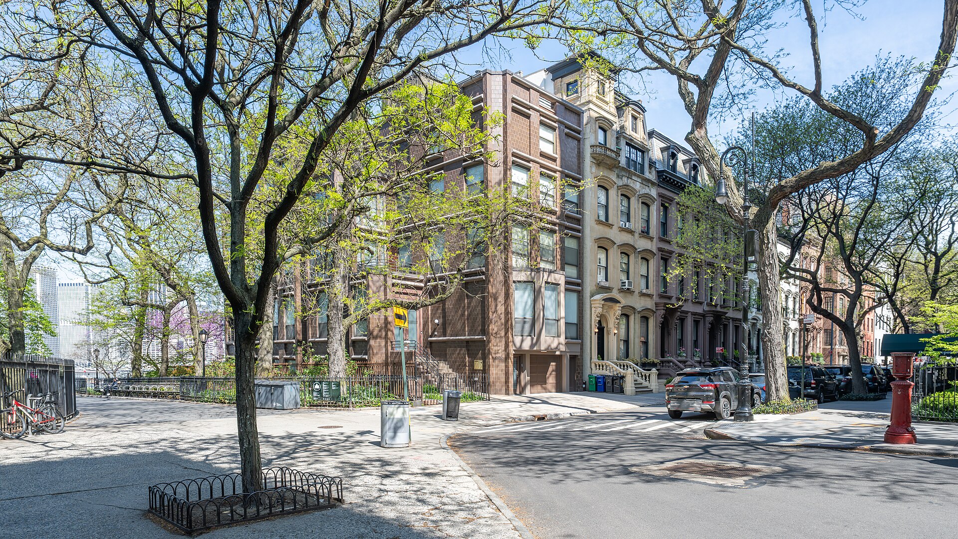
Brooklyn Heights, Brooklyn Heights You checked the neighborhood.Now check an address ! Photo: ajay_suresh, CC BY 4.0 · Wikimedia Commons

For $34.00 a CrimesLog™ Home Report provides: (where available)

  • Nearest 6 Pre-school Nurseries to Address
  • Nearest 6 Primary Schools to Address
  • Nearest 6 Secondary/High Schools to Address
  • Nearest College and University to Address
  • Nearest to Address Medical Clinics, Hospitals and Pharmacies
  • Nearest 2 Police Station details to Address

The Home Report also provides

  • The CrimesLog™ Home Score is a proprietary Home Safety Measure capturing crime frequency, severity, recency and proximity to Address from police crime reporting point
  • A map indicating police anonymized crime reporting points around Address
  • Crime category trendlines for Address neighborhood
  • List of Reported Crime Incidents around Address radius
  • Downloadable PDF report — A Permanent Copy to Keep and Share to aid your Property Research
  • Our crimes database of almost 60 million records is UPDATED EVERY MONTH from US, UK, CA police sources
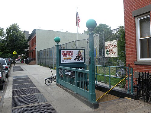
15th St IND Windsor & Howard Pls, Windsor Terrace-South Slope
Windsor Terrace-South Slope · 15th St IND Windsor & Howard Pls
Photo: Jim.henderson, CC0 · Wikimedia Commons
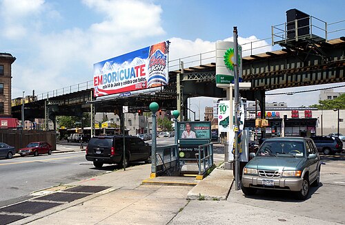
Broadway G Stair, South Williamsburg
South Williamsburg · Broadway G Stair
Photo: Jim.henderson, CC0 · Wikimedia Commons
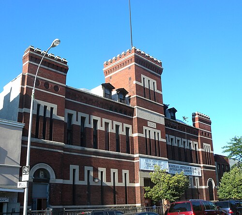
2nd Co Signal Armory NYNG 801 Dean St, Prospect Heights
Prospect Heights · 2nd Co Signal Armory NYNG 801 Dean St
Photo: Jim.henderson, CC0 · Wikimedia Commons
Bklyn Hist Soc Ohny, Brooklyn Heights
Brooklyn Heights · Bklyn Hist Soc Ohny
Photo: Jim.henderson, CC0 · Wikimedia Commons
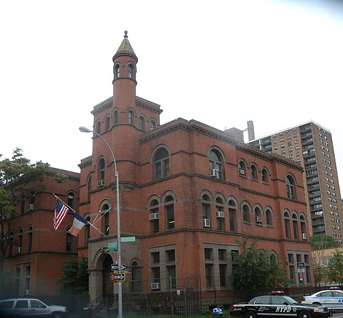
88 Precinct Classon De Kalb Rainy, Clinton Hill
Clinton Hill · 88 Precinct Classon De Kalb Rainy
Photo: Jim.henderson, CC0 · Wikimedia Commons
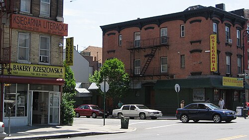
Greenpoint Brooklyn, Greenpoint
Greenpoint · Greenpoint Brooklyn
Photo: Kgwo1972, Public domain · Wikimedia Commons
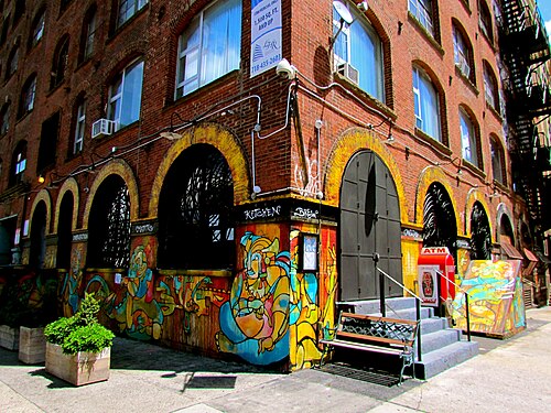
New York City, Williamsburg
Williamsburg · New York City
Photo: Jeff Gunn from Atlanta, USA, CC BY 2.0 · Wikimedia Commons
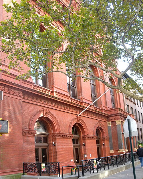
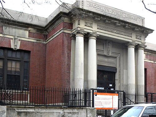
BPL Prospect Branch, Park Slope
Park Slope · BPL Prospect Branch
Photo: Jim.henderson, CC0 · Wikimedia Commons

How neighborhoods moved each quarter

2022

Whole-area crime rate 15.3 to 18.0 per 1,000 (high: Q3 2022).

Big moves (4+ places in a quarter): moved up East New York-City Line 20th→13th (Q2) moved up Crown Heights (North) 18th→13th (Q3) moved down Bushwick (East) 15th→19th (Q3) moved down Bushwick (West) 14th→18th (Q4)

2023

Whole-area crime rate 17.0 to 18.3 per 1,000 (high: Q3 2023).

Big moves (4+ places in a quarter): moved up Bushwick (West) 18th→12th (Q1) moved down Crown Heights (North) 11th→15th (Q1) moved down East New York-City Line 13th→17th (Q1) moved down East Flatbush-Rugby 12th→20th (Q1) moved up Spring Creek-Starrett City 29th→24th (Q1) moved up East Flatbush-Rugby 20th→16th (Q2) moved down Bushwick (West) 12th→19th (Q2) moved down Spring Creek-Starrett City 24th→28th (Q2) moved up Bushwick (West) 19th→11th (Q3) moved up East New York-City Line 17th→12th (Q3) moved up Bushwick (East) 18th→14th (Q3) moved down Cypress Hills 11th→15th (Q3) moved down Bedford-Stuyvesant (West) 12th→16th (Q3) moved down Sunset Park (West) 13th→20th (Q3) moved up Cypress Hills 15th→9th (Q4) moved up East Flatbush-Rugby 19th→12th (Q4) moved up Sunset Park (West) 20th→15th (Q4) moved down Bushwick (West) 11th→18th (Q4) moved down East Flatbush-Remsen Village 17th→22nd (Q4)

2024

Whole-area crime rate 17.2 to 18.7 per 1,000 (high: Q3 2024).

Big moves (4+ places in a quarter): moved up Bushwick (West) 18th→11th (Q1) moved up Prospect Lefferts Gardens-Wingate 21st→15th (Q1) moved down East Flatbush-Rugby 12th→20th (Q1) moved up Prospect Lefferts Gardens-Wingate 15th→10th (Q2) moved down Carroll Gardens-Cobble Hill-Gowanus-Red Hook 9th→13th (Q2) moved up Bushwick (East) 19th→13th (Q4) moved down Sunset Park (West) 13th→17th (Q4)

2025

Whole-area crime rate 17.3 to 19.5 per 1,000 (high: Q3 2025).

Big moves (4+ places in a quarter): moved up Sunset Park (West) 17th→13th (Q1) moved up East Flatbush-Rugby 22nd→14th (Q1) moved down Bushwick (East) 13th→17th (Q1) moved down East New York-City Line 15th→21st (Q1) moved up Bedford-Stuyvesant (East) 19th→14th (Q2) moved down East Flatbush-Rugby 14th→19th (Q2) moved down Crown Heights (North) 17th→21st (Q3) moved up Bedford-Stuyvesant (East) 15th→11th (Q4) moved up Bedford-Stuyvesant (West) 17th→13th (Q4) moved down Sunset Park (West) 13th→17th (Q4)

2026

Whole-area crime rate 17.6 to 18.9 per 1,000 (high: Q2 2026). 2 quarters so far.

Big moves (4+ places in a quarter): moved up East Williamsburg 20th→16th (Q1) moved down Bedford-Stuyvesant (East) 11th→17th (Q1) moved down East Williamsburg 16th→21st (Q2) moved down East Flatbush-Remsen Village 18th→22nd (Q2)

Reported Safety Incidents

In Q2 2026: public order incidents were 43% (11,319), property incidents were 23% (6,243), violent incidents were 18% (4,847) and vehicle crimes were 8% (2,213).

Recorded crime here is grouped into violent crime, property crime (burglary and theft), vehicle crime and public order offences, so you can compare how safe each neighborhood is for the kind of crime that matters to you.

Read category comparisons with care. A category that jumps while the total hardly moves looks like a change in how offences are classified, not in what happened: Q3 2022: vehicle up 39% while the total moved 2%; Q1 2026: violent down 43% while the total moved 4%. The whole-area rate is the steadier guide.

Places we left out, and places to read with care

Left out: Brooklyn Navy Yard; Green-Wood Cemetery; Highland Park-Cypress Hills Cemeteries (South); Lincoln Terrace Park; Prospect Park; The Evergreens Cemetery. They have almost no residents: their crimes are against visitors, so a rate per resident says little about living there.

The 29 neighborhoods on the map

Brooklyn North is made of 29 neighborhoods compared here, each in its own colour on the map. They are the City Planning “Neighborhood Tabulation Areas”: 1,408,307 residents between them.

  • Bedford-Stuyvesant (East)
  • Bedford-Stuyvesant (West)
  • Brooklyn Heights
  • Brownsville
  • Bushwick (East)
  • Bushwick (West)
  • Carroll Gardens-Cobble Hill-Gowanus-Red Hook
  • Clinton Hill
  • Crown Heights (North)
  • Crown Heights (South)
  • Cypress Hills
  • Downtown Brooklyn-DUMBO-Boerum Hill
  • East Flatbush-Remsen Village
  • East Flatbush-Rugby
  • East New York (North)
  • East New York-City Line
  • East New York-New Lots
  • East Williamsburg
  • Fort Greene
  • Greenpoint
  • Ocean Hill
  • Park Slope
  • Prospect Heights
  • Prospect Lefferts Gardens-Wingate
  • South Williamsburg
  • Spring Creek-Starrett City
  • Sunset Park (West)
  • Williamsburg
  • Windsor Terrace-South Slope

All 29 neighborhoods, Q2 2026

Crimes per 1,000 residents, Q2 2026, lowest first. The last two columns compare with Q1 2022.
#NeighborhoodResidentsAllViolentPropertyVehiclePublic orderRate vs Q1 2022Places gained
1Windsor Terrace-South Slope25,0363.70.31.00.61.8down45%up1
2South Williamsburg50,9486.30.91.70.62.7up18%down1
3Prospect Heights23,9698.32.31.80.93.1up5%up1
4Brooklyn Heights26,0318.40.72.70.54.2up8%down1
5Clinton Hill29,2059.01.81.90.74.5down8%–
6Greenpoint39,78410.61.72.60.85.0up2%up2
7Williamsburg66,61212.01.93.80.94.9up3%up2
8Park Slope59,28114.31.24.01.15.9up39%down2
9Crown Heights (South)53,46615.23.14.21.05.8up4%up4
10Cypress Hills42,11715.43.73.41.15.9up22%–
11Carroll Gardens-Cobble Hill-Gowanus-Red Hook60,73816.12.73.92.06.5up57%down4
12Prospect Lefferts Gardens-Wingate44,88116.83.33.91.17.6down3%up9
13Bushwick (East)59,85917.23.84.31.66.2up11%up3
14Sunset Park (West)50,92618.13.74.52.06.4up11%up4
15Bedford-Stuyvesant (East)92,76918.43.35.01.87.0up17%up2
16Bedford-Stuyvesant (West)90,06818.92.95.21.58.1up29%down2
17Crown Heights (North)85,81919.04.03.91.28.5up29%down2
18East New York-City Line47,23419.33.43.52.08.8up14%up2
19East Flatbush-Rugby36,35219.62.93.24.18.2up51%down8
20Bushwick (West)52,69819.94.25.02.07.5up44%down8
21East Williamsburg50,77520.73.85.81.49.0up11%up2
22East Flatbush-Remsen Village38,24021.04.13.72.09.6up24%down3
23Fort Greene33,18022.42.85.81.610.5up22%down1
24Spring Creek-Starrett City16,41025.92.84.31.616.4down11%up5
25East New York-New Lots51,64127.84.45.64.011.3up23%up1
26Ocean Hill39,94227.86.47.51.110.8up24%down1
27Brownsville59,01432.56.36.31.515.4up60%down3
28East New York (North)41,33535.18.65.52.515.4up40%down1
29Downtown Brooklyn-DUMBO-Boerum Hill39,97741.06.310.41.618.5up48%down1

Photographs

100 photographs of the 29 neighborhoods run along the reel; click one to see it full size. Each is credited here and under the large view.

All 100 photographs and their credits
  1. Windsor Terrace-South Slope · 15th St IND Windsor & Howard Pls (IND = Independent Subway System, a New York City subway division). Photo: Jim.henderson, CC0 · Wikimedia Commons
  2. South Williamsburg · Broadway G Stair. Photo: Jim.henderson, CC0 · Wikimedia Commons
  3. Prospect Heights · 2nd Co Signal Armory NYNG 801 Dean St. Photo: Jim.henderson, CC0 · Wikimedia Commons
  4. Brooklyn Heights · Bklyn Hist Soc Ohny. Photo: Jim.henderson, CC0 · Wikimedia Commons
  5. Clinton Hill · 88 Precinct Classon De Kalb Rainy. Photo: Jim.henderson, CC0 · Wikimedia Commons
  6. Greenpoint · Greenpoint Brooklyn. Photo: Kgwo1972, Public domain · Wikimedia Commons
  7. Williamsburg · New York City. Photo: Jeff Gunn from Atlanta, USA, CC BY 2.0 · Wikimedia Commons
  8. Park Slope · BPL Prospect Branch. Photo: Jim.henderson, CC0 · Wikimedia Commons
  9. Crown Heights (South) · Brooklyn-Crown Heights Ebbets Field Apartments. Photo: User wallyg on Flickr, CC BY 2.0 · Wikimedia Commons
  10. Carroll Gardens-Cobble Hill-Gowanus-Red Hook · Angkor1866. Photo: unknown author, Public domain · Wikimedia Commons
  11. Prospect Lefferts Gardens-Wingate · Kings County Hospital Center. Photo: Jim.henderson, Public domain · Wikimedia Commons
  12. Bushwick (East) · Bushwick High AUP. Photo: Jim.henderson, Public domain · Wikimedia Commons
  13. Sunset Park (West) · 4th Avenue UMeth 47. Photo: Jim.henderson, CC0 · Wikimedia Commons
  14. Bedford-Stuyvesant (East) · Antioch Baptist Greene. Photo: Jim.henderson, Public domain · Wikimedia Commons
  15. Bedford-Stuyvesant (West) · Bedford Avenue IND Station Sun (IND = Independent Subway System, a New York City subway division). Photo: Jim.henderson, CC BY 3.0 · Wikimedia Commons
  16. Crown Heights (North) · 23 Rgt Armory South Tower. Photo: Jim.henderson, CC0 · Wikimedia Commons
  17. East Flatbush-Rugby · Tilden HS East Flatbush 2008. Photo: Jim.henderson, Public domain · Wikimedia Commons
  18. Bushwick (West) · Bushwick Brooklyn June 2025 019. Photo: Kidfly182, CC BY 4.0 · Wikimedia Commons
  19. East Williamsburg · Broadway Northbound IND Crosstown Line Platform, July 2025 (IND = Independent Subway System, a New York City subway division). Photo: IliketrainsR211T, CC BY 4.0 · Wikimedia Commons
  20. East Flatbush-Remsen Village · Goodwill Tapscott. Photo: Jim.henderson, CC0 · Wikimedia Commons
  21. Fort Greene · BRIC Media House - Sign 01. Photo: BrillLyle, CC0 · Wikimedia Commons
  22. East New York-New Lots · E105 Canarsie. Photo: Jim.henderson, Public domain · Wikimedia Commons
  23. Brownsville · Loews Pitkin. Photo: Jim.henderson, CC0 · Wikimedia Commons
  24. Downtown Brooklyn-DUMBO-Boerum Hill · 2014 Medals of Excellence. Photo: Metropolitan Transportation Authority of the State of New York, CC BY 2.0 · Wikimedia Commons
  25. Brooklyn Navy Yard · Bny Wallabout Channel. Photo: User:Jim.henderson, Public domain · Wikimedia Commons
  26. Green-Wood Cemetery · Brooklyn Green-Wood Rinelli-Guardino Archangel 2. Photo: Seauton, 11 April 2025, CC BY 4.0 · Wikimedia Commons
  27. Lincoln Terrace Park · PS 189 Lincoln Terrace ENY Avenue. Photo: Jim.henderson, CC0 · Wikimedia Commons
  28. Windsor Terrace-South Slope · 15 Street G Train Stops Here. Photo: Erika Herzog from New York, NY, United States, CC BY 2.0 · Wikimedia Commons
  29. South Williamsburg · BPL Williamsburg 240 Division Avenue. Photo: Jim.henderson, CC BY 3.0 · Wikimedia Commons
  30. Prospect Heights · 22 Precinct BPD 645 Grand Avenue Park Place Red Brick Ingram. Photo: Jim.henderson, CC0 · Wikimedia Commons
  31. Brooklyn Heights · 1st Unitarian Monroe. Photo: Jim.henderson, CC0 · Wikimedia Commons
  32. Clinton Hill · 144 Vanderbilt. Photo: WhatANiceDog, CC0 · Wikimedia Commons
  33. Greenpoint · Greenpoint Avenue G. Photo: HelloAnnyong, Public domain · Wikimedia Commons
  34. Williamsburg · New York Med Mamma. Photo: Helen Alfvegren, CC BY 2.0 · Wikimedia Commons
  35. Park Slope · All Saints CoE 7&7 PS. Photo: Jim.henderson, CC0 · Wikimedia Commons
  36. Crown Heights (South) · Brooklyn Community Board 9. Photo: Jim.henderson, Public domain · Wikimedia Commons
  37. Carroll Gardens-Cobble Hill-Gowanus-Red Hook · BPL Union Clinton. Photo: Jim.henderson, CC0 · Wikimedia Commons
  38. Bushwick (East) · Barbara Roman Catholic Church Bleecker Central. Photo: Jim.henderson, Public domain · Wikimedia Commons
  39. Sunset Park (West) · 18th Precinct BPD. Photo: Jim.henderson, CC0 · Wikimedia Commons
  40. Bedford-Stuyvesant (East) · Bank Vernon Stuyvesant. Photo: Jim.henderson, CC0 · Wikimedia Commons
  41. Bedford-Stuyvesant (West) · 1st Corinthians Baptist Myrtle Avenue 2019. Photo: Jim.henderson, CC BY 4.0 · Wikimedia Commons
  42. Crown Heights (North) · 1st Church of God in Christ Park Place Kingston Avenue. Photo: Jim.henderson, CC0 · Wikimedia Commons
  43. East Flatbush-Rugby · Kingsboro Psych Center Lenox. Photo: Jim.henderson, CC0 · Wikimedia Commons
  44. Bushwick (West) · Bushwick Brooklyn June 2025 021. Photo: Kidfly182, CC BY 4.0 · Wikimedia Commons
  45. East Williamsburg · Broadway and Union Avenue, Brooklyn, August 2025. Photo: 4300streetcar, CC BY 4.0 · Wikimedia Commons
  46. Brownsville · Zion Triangle Park. Photo: Jim.henderson, CC0 · Wikimedia Commons
  47. Brooklyn Navy Yard · Brooklyn, NY, USA. Photo: johnaac, CC BY 3.0 · Wikimedia Commons
  48. Brooklyn Heights · 2nd Dept NY Supreme Court Pierrepont Monroe. Photo: Jim.henderson, Public domain · Wikimedia Commons
  49. Clinton Hill · Becky's Birthday. Photo: Billie Grace Ward from New York, USA, CC BY 2.0 · Wikimedia Commons
  50. Greenpoint · Anthony of Padua Roman Catholic Church Greenpoint. Photo: Jim.henderson, CC0 · Wikimedia Commons
  51. Williamsburg · New York Med Mamma. Photo: Helen Alfvegren, CC BY 2.0 · Wikimedia Commons
  52. Park Slope · 381 2nd St. Photo: hellroy, CC BY 3.0 · Wikimedia Commons
  53. Crown Heights (South) · Bedford President Armory. Photo: Jim.henderson, CC0 · Wikimedia Commons
  54. Carroll Gardens-Cobble Hill-Gowanus-Red Hook · 9th St Bridge 2000 Plaque. Photo: Jim.henderson, CC0 · Wikimedia Commons
  55. Bushwick (East) · Calvary N Cyprian at Bushwick Avenue N Manhattan St. Photo: Jim.henderson, CC0 · Wikimedia Commons
  56. Sunset Park (West) · 45 Street. Photo: Billie Grace Ward from New York, USA, CC BY 2.0 · Wikimedia Commons
  57. Bedford-Stuyvesant (East) · Brighter Way Baptist Ch 417 Throop Avenue. Photo: Jim.henderson, CC0 · Wikimedia Commons
  58. Crown Heights (North) · Bart CoE Pacific St. Photo: Jim.henderson, CC0 · Wikimedia Commons
  59. East Flatbush-Rugby · USPS Rugby 11203. Photo: Jim.henderson, CC0 · Wikimedia Commons
  60. Bushwick (West) · Bushwick Brooklyn June 2025 041. Photo: Kidfly182, CC BY 4.0 · Wikimedia Commons
  61. Brownsville · Marcus Garvey NYCHA. Photo: Jim.henderson, CC0 · Wikimedia Commons
  62. Brooklyn Navy Yard · Untitled. Photo: L Latumahina, CC BY 3.0 · Wikimedia Commons
  63. Brooklyn Heights · 1st Presby 124 Henry St Tower Sunny Morn. Photo: Jim.henderson, CC0 · Wikimedia Commons
  64. Greenpoint · Anthony & Alphonsius Roman Catholic Church Milton St. Photo: Jim.henderson, CC0 · Wikimedia Commons
  65. Williamsburg · New York Med Mamma. Photo: Helen Alfvegren, CC BY 2.0 · Wikimedia Commons
  66. Park Slope · Big Snow. Photo: hellroy, CC BY 3.0 · Wikimedia Commons
  67. Crown Heights (South) · 71 Precinct NYPD Malbone St NY Avenue. Photo: Jim.henderson, CC0 · Wikimedia Commons
  68. Carroll Gardens-Cobble Hill-Gowanus-Red Hook · BBT Toll Plaza. Photo: Jim.henderson, CC0 · Wikimedia Commons
  69. Bushwick (East) · Bushwick UMC 1139 Bushwick Avenue Madison St. Photo: Jim.henderson, CC0 · Wikimedia Commons
  70. Sunset Park (West) · 59 St Elevators. Photo: Metropolitan Transportation Authority of the State of New York from United States of America, CC BY 2.0 · Wikimedia Commons
  71. Bedford-Stuyvesant (East) · Bordens @ Patchens & Gates Brooklyn 2023. Photo: Jim.henderson, CC BY 4.0 · Wikimedia Commons
  72. Crown Heights (North) · Brower Park, February 2018. Photo: Collin Knopp-Schwyn, CC BY 4.0 · Wikimedia Commons
  73. East Flatbush-Rugby · KCHC Ambulatory. Photo: Jim.henderson, CC0 · Wikimedia Commons
  74. Bushwick (West) · BPD 20th Precinct Wilson Kalb. Photo: Jim.henderson, Public domain · Wikimedia Commons
  75. Brooklyn Navy Yard · B62XD40. Photo: Ondapedia7014, CC0 · Wikimedia Commons
  76. Brooklyn Heights · Brooklyn. Photo: Nicolas Vollmer from Munich [Allemagne], CC BY 2.0 · Wikimedia Commons
  77. Greenpoint · CoG Greenpoint 128 Meserole Avenue. Photo: Jim.henderson, CC0 · Wikimedia Commons
  78. Crown Heights (South) · Jas Davis USPS 11225. Photo: Jim.henderson, CC0 · Wikimedia Commons
  79. Carroll Gardens-Cobble Hill-Gowanus-Red Hook · C Train at Carroll Street. Photo: Julian Dunn from New York, USA, CC BY 2.0 · Wikimedia Commons
  80. Bushwick (East) · Bethesda Memorial Baptist 49 Cornelia St Bushwick Avenue. Photo: Jim.henderson, CC0 · Wikimedia Commons
  81. Sunset Park (West) · 59 St Elevators. Photo: Metropolitan Transportation Authority of the State of New York from United States of America, CC BY 2.0 · Wikimedia Commons
  82. Bedford-Stuyvesant (East) · Gates Avenue J BMT Platform (BMT = Brooklyn–Manhattan Transit, a New York City subway division). Photo: jim.henderson, Public domain · Wikimedia Commons
  83. Bushwick (West) · Asemblea Evangelicala Evergreen. Photo: Jim.henderson, CC0 · Wikimedia Commons
  84. Brooklyn Heights · Brooklyn. Photo: Elvis Boaventura, CC BY 3.0 · Wikimedia Commons
  85. Greenpoint · Engine 236 Ladder 108 Greenpoint. Photo: Jim.henderson, CC0 · Wikimedia Commons
  86. Carroll Gardens-Cobble Hill-Gowanus-Red Hook · Brooklyn Street Scenes. Photo: Steven Pisano from Brooklyn, NY, USA, CC BY 2.0 · Wikimedia Commons
  87. Bushwick (East) · Evergreen Baptist Woodbine Avenue Bushwick. Photo: Jim.henderson, CC0 · Wikimedia Commons
  88. Sunset Park (West) · Bk 2d Avenue 43 St Factory. Photo: Jim.henderson, CC0 · Wikimedia Commons
  89. Brooklyn Heights · Brooklyn Heights, Brooklyn, NY 11201, USA. Photo: Андрей Бобровский, CC BY 3.0 · Wikimedia Commons
  90. Greenpoint · Episcopal Church of the Ascension 127 Kent St Greenpoint Sunny. Photo: Jim.henderson, CC0 · Wikimedia Commons
  91. Carroll Gardens-Cobble Hill-Gowanus-Red Hook · Battle Map of Brooklyn. Photo: Benjamin J. Lossing, Public domain · Wikimedia Commons
  92. Bushwick (East) · Bushwick, Brooklyn, NY, USA. Photo: Dmitrijs Kuzmins, CC BY 3.0 · Wikimedia Commons
  93. Sunset Park (West) · Greenwood, Brooklyn, NY, USA. Photo: Андрей Бобровский, CC BY 3.0 · Wikimedia Commons
  94. Brooklyn Heights · Brooklyn Heights, Brooklyn, NY 11201, USA. Photo: Андрей Бобровский, CC BY 3.0 · Wikimedia Commons
  95. Greenpoint · 735 Manhattan Avenue Grnpt. Photo: Jim.henderson, CC BY 3.0 · Wikimedia Commons
  96. Bushwick (East) · Bushwick, Brooklyn, NY, USA. Photo: Dmitrijs Kuzmins, CC BY 3.0 · Wikimedia Commons
  97. Brooklyn Heights · BHS Landmark Plaques 2023. Photo: Jim.henderson, CC BY 4.0 · Wikimedia Commons
  98. Greenpoint · Greenpoint, Brooklyn, NY, USA. Photo: Андрей Бобровский, CC BY 3.0 · Wikimedia Commons
  99. Brooklyn Heights · Brooklyn Heights. Photo: ajay_suresh, CC BY 4.0 · Wikimedia Commons
  100. Greenpoint · Greenpoint, Brooklyn, NY, USA. Photo: Андрей Бобровский, CC BY 3.0 · Wikimedia Commons

Sources and notes

CrimesLog sources crime incident data published by the New York City Police Department (NYPD) through the NYC Open Data Portal, containing public sector information governed by the NYC Open Data Law (Local Law 11 of 2012) and the NYC.gov Terms of Use.

Population: U.S. Census Bureau, American Community Survey 5-year estimates (public domain).

First-place medal: 1st Place Medal emoji icon by Icons8.

Neighborhood boundaries are defined by NYC Department of City Planning, 2020 Neighborhood Tabulation Areas (NYC Open Data), merged and simplified by CrimesLog. The photographs are credited under each picture.

Rates are recorded crimes per 1,000 residents, quarter by quarter; where a neighborhood has fewer than 100 residents the rate would be worked out on 100 (those places are left out of the race). A count of recorded crime is not a verdict on any neighborhood.