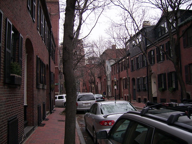
Boston, Massachusetts · Neighborhood crime trends

Boston

25 neighborhoods - a quarterly race to the lowest crime rate.

Crime Trends: Neighborhoods compared - each quarter from Q1 2022

How do the 25 neighborhoods of Boston compare? In Q2 2026 the police recorded 8,970 crimes across them, 13.5 for every 1,000 residents. That is 2.0% above a year earlier and 15.1% above Q1 2022, the first quarter we track.

North End has the lowest rate of the everyday neighborhoods (4.1 per 1,000), followed by Roslindale (4.4) and Fenway (6.2). Downtown has the highest (41.6).

Use the RACE CHARTS below to watch all 25 BOSTON NEIGHBORHOODs race across 18 quarter periods from Q1 2022 to Q2 2026 - one crime category at a time or all together.

Neighborhood boundaries are defined by Analyze Boston (City of Boston) and simplified by CrimesLog.
Lowest rate (everyday)
lowest rateNorth End
4.1 crimes per 1,000 residents, Q2 2026
Highest rate
upDowntown
41.6 per 1,000, Q2 2026
Whole area, Q2 2026
13.5 per 1,000
up 2.0% above a year earlier · up 15.1% above Q1 2022
Compared
25 neighborhoods
666,320 residents · 18 quarters

Boston neighborhood quarterly crime race

Press ▶︎ to watch Q1 2022 to Q2 2026. Tick one crime category or several; hover a bar for the neighborhood. Property crimes includes burglaries and thefts.

Crime categories
Indicated: crimes rate per 1000 residents per quarterAll · safest at the top · square-root scale · Q1 2022 to Q2 202601510257.2Allston21.8Back Bay10.1Bay Village7.6Beacon Hill9.8Brighton8.0Charlestown13.5Chinatown14.4Dorchester45.6Downtown8.0East Boston3.6Fenway10.1Hyde Park8.6Jamaica Plain31.6Leather District6.6Longwood8.3Mattapan7.2Mission Hill5.4North End5.5Roslindale15.7Roxbury13.4South Boston8.5South Boston Waterfront18.9South End11.3West End8.7West RoxburyNumbers are crimes per 1,000 residents per quarter. Zero-crime quarters show 0 and rank safest. Not included, no residents: Harbor Islands.
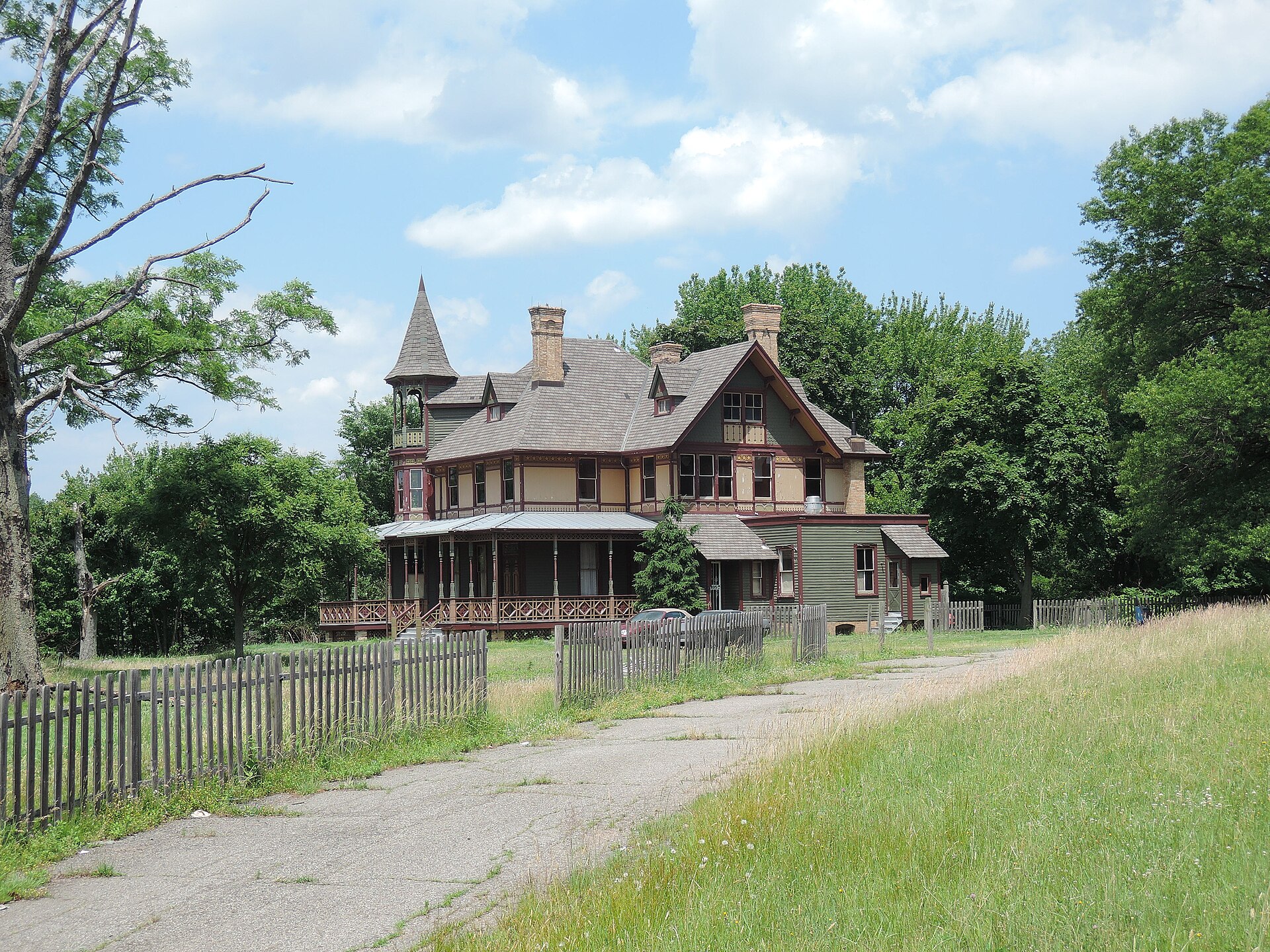
Kreischer House Uncut, Tottenville-Charleston You checked the neighborhood.Now check an address ! Photo: Jim.henderson, CC0 · Wikimedia Commons

For $34.00 a CrimesLog™ Home Report provides: (where available)

  • Nearest 6 Pre-school Nurseries to Address
  • Nearest 6 Primary Schools to Address
  • Nearest 6 Secondary/High Schools to Address
  • Nearest College and University to Address
  • Nearest to Address Medical Clinics, Hospitals and Pharmacies
  • Nearest 2 Police Station details to Address

The Home Report also provides

  • The CrimesLog™ Home Score is a proprietary Home Safety Measure capturing crime frequency, severity, recency and proximity to Address from police crime reporting point
  • A map indicating police anonymized crime reporting points around Address
  • Crime category trendlines for Address neighborhood
  • List of Reported Crime Incidents around Address radius
  • Downloadable PDF report — A Permanent Copy to Keep and Share to aid your Property Research
  • Our crimes database of almost 60 million records is UPDATED EVERY MONTH from US, UK, CA police sources
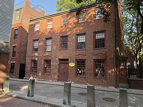
Clough House 2025, North End
North End · Clough House 2025
Photo: Seasider53, CC BY 4.0 · Wikimedia Commons
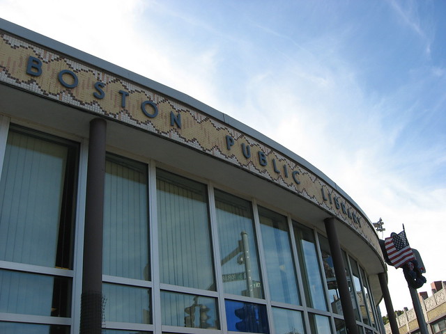
Rozzie Library, Roslindale
Roslindale · Rozzie Library
Photo: AndWat, CC BY 2.0 · Flickr
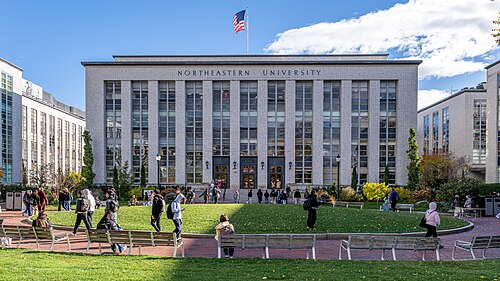
Ell Hall - Northeastern University, Fenway
Fenway · Ell Hall - Northeastern University
Photo: ajay_suresh, CC BY 4.0 · Wikimedia Commons
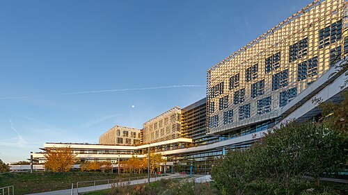
Harvard John A. Paulson School of Engineering and Applied Sciences (SEAS), Allston
Allston · Harvard John A. Paulson School of Engineering and Applied Sciences (SEAS)
Photo: ajay_suresh, CC BY 4.0 · Wikimedia Commons
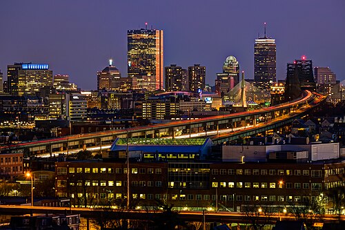
Boston Skyline from Malone Park, Chelsea, February 2014, Charlestown
Charlestown · Boston Skyline from Malone Park, Chelsea, February 2014
Photo: Robbie Shade, CC BY 2.0 · Wikimedia Commons
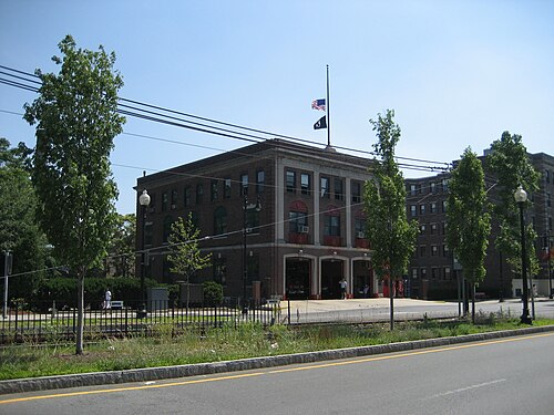
BostonFenwayFirehouse26June07, Mission Hill
Mission Hill · BostonFenwayFirehouse26June07
Photo: Infrogmation of New Orleans, CC BY 2.5 · Wikimedia Commons
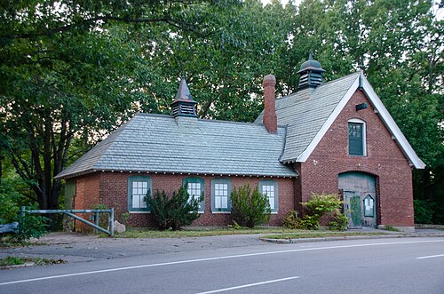
Parental School Stable & Carriage House, 1365–1375 VFW Parkway, West Roxbury, Boston, MA, West Roxbury
West Roxbury · Parental School Stable & Carriage House, 1365–1375 VFW Parkway, West Roxbury, Boston, MA
Photo: RGKMA, CC BY 4.0 · Wikimedia Commons
Bay Village, Bay Village
Bay Village · Bay Village
Photo: Reading Tom, CC BY 2.0 · Flickr

How neighborhoods moved each quarter

2022

Whole-area crime rate 11.1 to 12.7 per 1,000 (high: Q3 2022).

Big moves (4+ places in a quarter): moved up West Roxbury 13th→6th (Q2) moved up Bay Village 16th→7th (Q2) moved down Longwood 4th→10th (Q2) moved down Beacon Hill 7th→12th (Q2) moved down Charlestown 8th→14th (Q2) moved down South Boston Waterfront 11th→15th (Q2) moved up Charlestown 14th→3rd (Q3) moved down North End 1st→6th (Q3) moved down West Roxbury 6th→10th (Q3) moved down Bay Village 7th→15th (Q3) moved up Longwood 8th→2nd (Q4) moved down Charlestown 3rd→7th (Q4) moved up Beacon Hill 12th→8th (Q4) moved down East Boston 9th→14th (Q4)

2023

Whole-area crime rate 12.1 to 14.2 per 1,000 (high: Q3 2023).

Big moves (4+ places in a quarter): moved up South Boston Waterfront 12th→8th (Q1) moved up East Boston 14th→9th (Q1) moved down Beacon Hill 8th→18th (Q1) moved down Chinatown 16th→24th (Q1) moved up Bay Village 14th→5th (Q2) moved down South Boston Waterfront 8th→15th (Q2) moved up Chinatown 24th→20th (Q2) moved up South Boston Waterfront 15th→11th (Q3) moved down Bay Village 5th→17th (Q3) moved down North End 6th→21st (Q3) moved up North End 21st→3rd (Q4) moved up Beacon Hill 14th→8th (Q4) moved up Leather District 22nd→10th (Q4) moved down East Boston 7th→14th (Q4) moved down Longwood 4th→17th (Q4)

2024

Whole-area crime rate 11.7 to 14.8 per 1,000 (high: Q3 2024).

Big moves (4+ places in a quarter): moved up Longwood 17th→7th (Q1) moved up Hyde Park 16th→11th (Q1) moved down Mattapan 7th→12th (Q1) moved down Beacon Hill 8th→13th (Q1) moved down Leather District 10th→24th (Q1) moved up Mission Hill 6th→2nd (Q2) moved up Mattapan 12th→8th (Q2) moved down South Boston Waterfront 8th→12th (Q2) moved up Chinatown 22nd→18th (Q2) moved up Leather District 24th→20th (Q2) moved down West End 17th→21st (Q2) moved up Bay Village 16th→2nd (Q3) moved down Mission Hill 2nd→8th (Q3) moved down South Boston Waterfront 12th→16th (Q3) moved up West End 21st→17th (Q3) moved up Leather District 21st→15th (Q4)

2025

Whole-area crime rate 12.0 to 14.6 per 1,000 (high: Q3 2025).

Big moves (4+ places in a quarter): moved up Charlestown 9th→4th (Q1) moved up Brighton 12th→8th (Q1) moved down Longwood 5th→9th (Q1) moved down Allston 6th→12th (Q1) moved down Jamaica Plain 11th→16th (Q1) moved up Chinatown 22nd→18th (Q1) moved up Longwood 9th→5th (Q2) moved down Bay Village 5th→16th (Q2) moved down Leather District 17th→24th (Q2) moved up Allston 9th→4th (Q3) moved down Fenway 3rd→8th (Q3) moved down Brighton 8th→13th (Q3) moved up Leather District 24th→17th (Q3) moved up Bay Village 15th→3rd (Q4) moved up Brighton 13th→9th (Q4) moved down Mission Hill 5th→10th (Q4) moved down Longwood 7th→12th (Q4) moved down Mattapan 9th→13th (Q4) moved down Hyde Park 11th→16th (Q4)

2026

Whole-area crime rate 12.5 to 13.5 per 1,000 (high: Q2 2026). 2 quarters so far.

Big moves (4+ places in a quarter): moved down Brighton 9th→13th (Q1) moved down East Boston 11th→16th (Q1) moved up Allston 8th→4th (Q2) moved down Bay Village 3rd→8th (Q2) moved down South Boston Waterfront 4th→9th (Q2) moved down Leather District 11th→17th (Q2)

Reported Safety Incidents

In Q2 2026: property incidents were 42% (3,810), vehicle crimes were 26% (2,365), violent incidents were 22% (1,967) and public order incidents were 9% (797).

Recorded crime here is grouped into violent crime, property crime (burglary and theft), vehicle crime and public order offences, so you can compare how safe each neighborhood is for the kind of crime that matters to you.

Read category comparisons with care. A category that jumps while the total hardly moves looks like a change in how offences are classified, not in what happened: Q1 2023: public order up 26% while the total moved 9%; Q3 2023: public order up 35% while the total moved 6%; Q1 2025: public order up 34% while the total moved 10%. The whole-area rate is the steadier guide.

Places we left out, and places to read with care

Left out: Harbor Islands. They have almost no residents: their crimes are against visitors, so a rate per resident says little about living there.

Leather District (14.2 per 1,000 from 9 crimes among 632 residents) and Bay Village (8.6 per 1,000 from 11 crimes among 1,284 residents) are places with few residents (under 3,000): a rate on so few people says little about living there, so they are not named as the lowest or highest.

The 25 neighborhoods on the map

Boston is made of 25 neighborhoods compared here, each in its own colour on the map. They are the neighborhoods of Analyze Boston (City of Boston): 666,320 residents between them.

  • Allston
  • Back Bay
  • Bay Village
  • Beacon Hill
  • Brighton
  • Charlestown
  • Chinatown
  • Dorchester
  • Downtown
  • East Boston
  • Fenway
  • Hyde Park
  • Jamaica Plain
  • Leather District
  • Longwood
  • Mattapan
  • Mission Hill
  • North End
  • Roslindale
  • Roxbury
  • South Boston
  • South Boston Waterfront
  • South End
  • West End
  • West Roxbury

All 25 neighborhoods, Q2 2026

Crimes per 1,000 residents, Q2 2026, lowest first. The last two columns compare with Q1 2022.
#NeighborhoodResidentsAllViolentPropertyVehiclePublic orderRate vs Q1 2022Places gained
1North End9,3704.11.02.10.80.2down25%up1
2Roslindale30,6714.41.01.91.40.1down21%up1
3Fenway33,2576.21.53.31.00.5up69%down2
4Allston24,0476.31.62.81.20.7down12%up2
5Charlestown20,0327.01.32.62.50.5down13%up3
6Mission Hill15,8027.31.53.91.60.3up2%down1
7West Roxbury31,5607.81.53.02.80.5down10%up6
8Bay Village †1,2848.63.12.33.10.0down15%up8
9South Boston Waterfront6,6808.82.73.71.50.9up4%up2
10Brighton45,7589.11.54.03.10.4down8%up4
11Mattapan28,1059.72.63.53.10.4up17%down1
12Longwood4,5609.92.04.43.30.2up50%down8
13Beacon Hill8,02610.11.96.61.30.4up33%down6
14East Boston43,34510.32.24.62.60.9up28%down5
15Jamaica Plain42,70312.02.64.93.70.7up39%down3
16Hyde Park33,66312.02.84.04.11.2up19%down1
17Leather District †63214.24.83.24.81.6down55%up7
18West End8,24915.03.86.21.73.4up33%down1
19South Boston37,47816.63.26.34.32.8up24%down1
20Dorchester126,45016.93.66.75.11.3up17%–
21South End28,37420.24.48.35.81.7up7%up1
22Chinatown4,58521.63.39.63.05.2up60%down3
23Roxbury50,23421.85.87.16.32.4up39%down2
24Back Bay18,18726.73.221.21.60.6up22%down1
25Downtown13,26841.610.720.54.45.7down9%–

† Leather District and Bay Village are places with few residents. A rate on a very small number of residents or crimes is not comparable with the others.

Photographs

138 photographs of the 25 neighborhoods run along the reel; click one to see it full size. Each is credited here and under the large view.

All 138 photographs and their credits
  1. North End · Clough House 2025. Photo: Seasider53, CC BY 4.0 · Wikimedia Commons
  2. Roslindale · Rozzie Library. Photo: AndWat, CC BY 2.0 · Flickr
  3. Fenway · Ell Hall - Northeastern University. Photo: ajay_suresh, CC BY 4.0 · Wikimedia Commons
  4. Allston · Harvard John A. Paulson School of Engineering and Applied Sciences (SEAS). Photo: ajay_suresh, CC BY 4.0 · Wikimedia Commons
  5. Charlestown · Boston Skyline from Malone Park, Chelsea, February 2014. Photo: Robbie Shade, CC BY 2.0 · Wikimedia Commons
  6. Mission Hill · BostonFenwayFirehouse26June07. Photo: Infrogmation of New Orleans, CC BY 2.5 · Wikimedia Commons
  7. West Roxbury · Parental School Stable & Carriage House, 1365–1375 VFW Parkway, West Roxbury, Boston, MA. Photo: RGKMA, CC BY 4.0 · Wikimedia Commons
  8. Bay Village · Bay Village. Photo: Reading Tom, CC BY 2.0 · Flickr
  9. South Boston Waterfront · CRISPR Therapeutics Building in Boston May 2026. Photo: 4300streetcar, CC BY 4.0 · Wikimedia Commons
  10. Brighton · Brighton Municipal Courthouse. Photo: 4300streetcar, CC BY 4.0 · Wikimedia Commons
  11. Longwood · Boston Medical Library. Photo: ajay_suresh, CC BY 4.0 · Wikimedia Commons
  12. Beacon Hill · Acorn Street, Boston, United States (Unsplash). Photo: Michael Browning michaelwb, CC0 · Wikimedia Commons
  13. East Boston · Suffolk Downs Station from Airplane May 2025. Photo: 4300streetcar, CC BY 4.0 · Wikimedia Commons
  14. Jamaica Plain · Galway House Restaurant in Jamaica Plain, Boston July 2026. Photo: 4300streetcar, CC BY 4.0 · Wikimedia Commons
  15. Hyde Park · George Wright Golf Course Clubhouse. Photo: SJMW1987, CC BY 4.0 · Wikimedia Commons
  16. West End · Bulfinch Building - Massachusetts General Hospital. Photo: ajay_suresh, CC BY 4.0 · Wikimedia Commons
  17. South Boston · Boston Skyline at Sunset from West Broadway April 2025 (Cropped). Photo: 4300streetcar, CC BY 4.0 · Wikimedia Commons
  18. Dorchester · Boston College High School Sign. Photo: 4300streetcar, CC BY 4.0 · Wikimedia Commons
  19. South End · Looking Across the Reflecting Pool Toward the Mother Church (First Church of Christ, Scientist). Photo: Chris Rycroft from Madison, Wisconsin, United States, CC BY 2.0 · Wikimedia Commons
  20. Chinatown · Crossing-the-bridge Noodles Restaurant in Boston. Photo: Chris Rycroft, CC BY 2.0 · Wikimedia Commons
  21. Roxbury · Eastbound Platform at Weld Street, November 2021. Photo: Byron A. Nash from USA, CC BY 2.0 · Wikimedia Commons
  22. Back Bay · Back Bay Events Center. Photo: ajay_suresh, CC BY 4.0 · Wikimedia Commons
  23. Downtown · Custom House Tower - Boston. Photo: ajay_suresh, CC BY 4.0 · Wikimedia Commons
  24. North End · Coast Guard Station. Photo: Tony Hisgett from Birmingham, UK, CC BY 2.0 · Wikimedia Commons
  25. Roslindale · Belgrade Avenue. Photo: AndWat, CC BY 2.0 · Flickr
  26. Fenway · 252-264 Huntington Avenue Construction August 2025. Photo: 4300streetcar, CC BY 4.0 · Wikimedia Commons
  27. Allston · BU Bridge and Railroad Bridge from Charles River Bike Path August 2024. Photo: 4300streetcar, CC BY 4.0 · Wikimedia Commons
  28. Charlestown · Charlestown Branch of the Boston Public Library August 2026. Photo: 4300streetcar, CC BY 4.0 · Wikimedia Commons
  29. West Roxbury · Washington Street, West Roxbury, #23311. Photo: Boston City Archives, CC BY 2.0 · Flickr
  30. Bay Village · File:Bay Village Garden - Bay Village, Boston, MA - DSC08080.JPG. Photo: Daderot, CC0 · Wikimedia Commons
  31. South Boston Waterfront · Hauthaway &Amp; Sons/fire House. Photo: Boston Wharf Company, Public domain · Wikimedia Commons
  32. Brighton · Brighton Looking North Down Winship Street. Photo: 4300streetcar, CC BY 4.0 · Wikimedia Commons
  33. Longwood · Winsor School. Photo: ajay_suresh, CC BY 4.0 · Wikimedia Commons
  34. Beacon Hill · Charles MGH Station, January 2012. Photo: Josh Graciano from Concord NH, USA, CC BY 2.0 · Wikimedia Commons
  35. East Boston · Portside at East Pier. Photo: Lilybeans20101, CC0 · Wikimedia Commons
  36. Jamaica Plain · Curtis Hall Community Center and Boston Public Library Jamaica Plain Branch July 2026. Photo: 4300streetcar, CC BY 4.0 · Wikimedia Commons
  37. West End · Building at 138-142 Portland Street. Photo: ajay_suresh, CC BY 4.0 · Wikimedia Commons
  38. South Boston · D Street - West Broadway, Boston, MA, USA. Photo: Eric Friedebach, CC BY 3.0 · Wikimedia Commons
  39. Dorchester · Boston Skyline from Near JFK Library November 2024. Photo: 4300streetcar, CC BY 4.0 · Wikimedia Commons
  40. South End · Yarmouth Street. Photo: Chris Rycroft from Madison, Wisconsin, United States, CC BY 2.0 · Wikimedia Commons
  41. Chinatown · Chinatown, Boston, MA, USA. Photo: bynyalcin, CC BY 3.0 · Wikimedia Commons
  42. Roxbury · Northbound Platform at Bray Street, November 2021. Photo: Byron A. Nash from USA, CC BY 2.0 · Wikimedia Commons
  43. Back Bay · Back Bay Station Interior August 2026. Photo: 4300streetcar, CC BY 4.0 · Wikimedia Commons
  44. Downtown · 125 High Street - Boston. Photo: ajay_suresh, CC BY 4.0 · Wikimedia Commons
  45. North End · Boston - North End. Photo: Ajay Suresh from New York, NY, USA, CC BY 2.0 · Wikimedia Commons
  46. Fenway · Bluebikes Station at Lansdowne May 2026. Photo: 4300streetcar, CC BY 4.0 · Wikimedia Commons
  47. Allston · Boston Public Library Honan-Allston Branch June 2025. Photo: 4300streetcar, CC BY 4.0 · Wikimedia Commons
  48. Charlestown · Sullivan Square Station Dedication Plaque. Photo: Pi.1415926535, Public domain · Wikimedia Commons
  49. Bay Village · File:Fayette Street, Bay Village, Boston, MA - DSC08074.JPG. Photo: Daderot, CC0 · Wikimedia Commons
  50. South Boston Waterfront · Congress Street from Boston Wharf Road, December 2024. Photo: Chris Rycroft from Madison, Wisconsin, United States, CC BY 2.0 · Wikimedia Commons
  51. Brighton · Brighton Branch of the Boston Public Library. Photo: 4300streetcar, CC BY 4.0 · Wikimedia Commons
  52. Longwood · Harvard Medical School. Photo: ajay_suresh, CC BY 4.0 · Wikimedia Commons
  53. Beacon Hill · Charles MGH Station Headhouse, April 2018. Photo: Eric F. James from Washington, DC, United States, CC BY 2.0 · Wikimedia Commons
  54. Jamaica Plain · Green Street Station from Across Green Street, May 2012. Photo: Pi.1415926535, CC BY 3.0 · Wikimedia Commons
  55. West End · Back Bay Skyline and Charles MGH Station, September 2015. Photo: oliver.dodd, CC BY 2.0 · Wikimedia Commons
  56. South Boston · D Street - West Broadway, Boston, MA, USA. Photo: Eric Friedebach, CC BY 3.0 · Wikimedia Commons
  57. Dorchester · John F. Kennedy Presidential Library Interior Lattice November 2024. Photo: 4300streetcar, CC BY 4.0 · Wikimedia Commons
  58. South End · The Mother Church (First Church of Christ, Scientist) by the Reflecting Pool. Photo: Chris Rycroft from Madison, Wisconsin, United States, CC BY 2.0 · Wikimedia Commons
  59. Chinatown · Varied Buildings. Photo: hsivonen, CC BY 2.0 · Flickr
  60. Roxbury · Boston Public Library Egleston Square. Photo: Tim Pierce, CC BY 3.0 · Wikimedia Commons
  61. Back Bay · Harvard Club of Boston (Commonwealth Avenue Clubhouse). Photo: ajay_suresh, CC BY 4.0 · Wikimedia Commons
  62. Downtown · 125 Summer Street - Boston. Photo: ajay_suresh, CC BY 4.0 · Wikimedia Commons
  63. Fenway · First Church of Christ, Scientist (Archway & Reflecting Pool Entrance). Photo: ajay_suresh, CC BY 4.0 · Wikimedia Commons
  64. Allston · Harvard Business School. Photo: ajay_suresh, CC BY 4.0 · Wikimedia Commons
  65. South Boston Waterfront · Harbor Towers. Photo: ajay_suresh, CC BY 4.0 · Wikimedia Commons
  66. Brighton · Boston Police District 14 Building Dec 2024. Photo: 4300streetcar, CC BY 4.0 · Wikimedia Commons
  67. Longwood · Harvard School of Dental Medicine. Photo: ajay_suresh, CC BY 4.0 · Wikimedia Commons
  68. Beacon Hill · Boston - Massachusetts State House - Statue Daniel Webster. Photo: giggel, CC BY 3.0 · Wikimedia Commons
  69. Jamaica Plain · Green Street MBTA Orange Line Station Headhouse, July 2024. Photo: IliketrainsR211T, CC BY 4.0 · Wikimedia Commons
  70. West End · Boston Sunrise from the West End. Photo: R Boed, CC BY 2.0 · Wikimedia Commons
  71. South Boston · D Street - West Broadway, Boston, MA, USA. Photo: Eric Friedebach, CC BY 3.0 · Wikimedia Commons
  72. Dorchester · JFK Library. Photo: scherbina, CC BY 3.0 · Wikimedia Commons
  73. South End · Keswick Street. Photo: Chris Rycroft from Madison, Wisconsin, United States, CC BY 2.0 · Wikimedia Commons
  74. Chinatown · Chinatown Boston Series, Ricoh GXR, 50/2.5 (A12). Photo: soelin, CC BY 2.0 · Flickr
  75. Roxbury · Madison Park Technical Vocational High School. Photo: Tim Pierce, CC BY 3.0 · Wikimedia Commons
  76. Back Bay · Crowninshield House. Photo: ajay_suresh, CC BY 4.0 · Wikimedia Commons
  77. Downtown · 2010 AdamsCourthouse Boston. Photo: Emmanuel Huybrechts from Montreal, Canada, CC BY 2.0 · Wikimedia Commons
  78. Fenway · Boylston Street at Jersey Street, February 2022. Photo: Judith GO from Boston, USA, Public domain · Wikimedia Commons
  79. Allston · Harvard Business School - Baker Library. Photo: ajay_suresh, CC BY 4.0 · Wikimedia Commons
  80. South Boston Waterfront · Boston, Museum Wharf, Hood Milk Bottle. Photo: openroads.com, CC BY 2.0 · Wikimedia Commons
  81. Brighton · Veronica Smith Senior Center in Brighton Primary Election. Photo: 4300streetcar, CC BY 4.0 · Wikimedia Commons
  82. Longwood · Looking Southeast Along Longwood Avenue, December 2024. Photo: Chris Rycroft from Madison, Wisconsin, United States, CC BY 2.0 · Wikimedia Commons
  83. Beacon Hill · 114 Mount Vernon Street, Beacon Hill, Boston, 2007. Photo: DimiTalen, CC0 · Wikimedia Commons
  84. Jamaica Plain · Westbound Platform at Walnut Avenue, November 2021. Photo: Byron A. Nash from USA, CC BY 2.0 · Wikimedia Commons
  85. West End · Ether Dome Landmark Plaque. Photo: Kenneth C. Zirkel, CC BY 4.0 · Wikimedia Commons
  86. Dorchester · Aerial View of UMass Boston Campus, September 1993. Photo: Massachusetts Dept. of Environmental Protection, CC BY 2.0 · Wikimedia Commons
  87. South End · Tree with Pink Blossom Outside Building Entrance. Photo: Chris Rycroft from Madison, Wisconsin, United States, CC BY 2.0 · Wikimedia Commons
  88. Roxbury · Higginson-Lewis School Roxbury MA. Photo: Tim Pierce, CC BY 3.0 · Wikimedia Commons
  89. Back Bay · Berkeley Building. Photo: ajay_suresh, CC BY 4.0 · Wikimedia Commons
  90. Downtown · South Station Boston. Photo: David Wilson from Oak Park, Illinois, USA, CC BY 2.0 · Wikimedia Commons
  91. Fenway · Commonwealth Avenue Mall from Bowker Overpass, February 2022. Photo: Judith GO from Boston, USA, Public domain · Wikimedia Commons
  92. Allston · Amory Street Station at Night, August 2022. Photo: Chris Rycroft from Madison, Wisconsin, United States, CC BY 2.0 · Wikimedia Commons
  93. Brighton · Commonwealth and Washington Boston MA 2025-04-24 08-38-08. Photo: G. Edward Johnson, CC BY 4.0 · Wikimedia Commons
  94. Longwood · Harvard T.H. Chan School of Public Health. Photo: ajay_suresh, CC BY 4.0 · Wikimedia Commons
  95. Beacon Hill · Flag of Springfield Example in Beacon Hill Hall of Flags. Photo: Simtropolitan, CC0 · Wikimedia Commons
  96. Jamaica Plain · Northbound Platform at Dimock Street, November 2021. Photo: Byron A. Nash from USA, CC BY 2.0 · Wikimedia Commons
  97. West End · Entrance to Liberty. Photo: m_e, CC BY 3.0 · Wikimedia Commons
  98. Dorchester · John F Kennedy Presidential Library June 2017. Photo: Larry D. Moore, CC BY 4.0 · Wikimedia Commons
  99. South End · Looking West Along Queensberry Street. Photo: Chris Rycroft from Madison, Wisconsin, United States, CC BY 2.0 · Wikimedia Commons
  100. Roxbury · Dillaway School. Photo: Tim Pierce, CC BY 3.0 · Wikimedia Commons
  101. Back Bay · Calendar Light Library of the Church of the Christian Scientists. Photo: Tony Hisgett from Birmingham, UK, CC BY 2.0 · Wikimedia Commons
  102. Downtown · 2011 BostonOperaHouse Massachusetts. Photo: Ron Cogswell, CC BY 2.0 · Wikimedia Commons
  103. Fenway · 360 Newbury Street. Photo: ajay_suresh, CC BY 4.0 · Wikimedia Commons
  104. Allston · Brighton Music Hall. Photo: Xanderroth11, CC0 · Wikimedia Commons
  105. Brighton · Boston, MA, USA. Photo: Stanley Nova, CC BY 3.0 · Wikimedia Commons
  106. Longwood · Francis A. Countway Library of Medicine. Photo: ajay_suresh, CC BY 4.0 · Wikimedia Commons
  107. Beacon Hill · 59 Hancock Street, Beacon Hill, Boston, 2007. Photo: DimiTalen, CC0 · Wikimedia Commons
  108. West End · West End, Boston. Photo: massmatt, CC BY 2.0 · Flickr
  109. Dorchester · Boston, Dorchester Avenue, Peabody Square, June 2012. Photo: MassDOT, Public domain · Wikimedia Commons
  110. South End · Doorway to the Mother Church (First Church of Christ, Scientist). Photo: Chris Rycroft from Madison, Wisconsin, United States, CC BY 2.0 · Wikimedia Commons
  111. Roxbury · Arrival Information Screen at Bray Street Stop, November 2021. Photo: MBTA, Public domain · Wikimedia Commons
  112. Back Bay · Commonwealth Avenue and Massachusetts Avenue. Photo: Tony Hisgett from Birmingham, UK, CC BY 2.0 · Wikimedia Commons
  113. Downtown · Bedford Building, Boston, Massachusetts. Photo: Kenneth C. Zirkel, CC BY 4.0 · Wikimedia Commons
  114. Fenway · Boylston Street East of Park Drive, February 2022. Photo: Judith GO from Boston, USA, Public domain · Wikimedia Commons
  115. Allston · Dillon Fieldhouse at Harvard University. Photo: Kenneth C. Zirkel, CC BY 4.0 · Wikimedia Commons
  116. Brighton · Winship Street, Brighton, Boston Feb 2025. Photo: 4300streetcar, CC BY 4.0 · Wikimedia Commons
  117. Longwood · Emmanuel College - Boston, Massachusetts. Photo: ajay_suresh, CC BY 4.0 · Wikimedia Commons
  118. Beacon Hill · American Meteorological Society. Photo: ajay_suresh, CC BY 4.0 · Wikimedia Commons
  119. South End · Faneuil Hall. Photo: Bayo O, CC BY 3.0 · Wikimedia Commons
  120. Back Bay · Back Bay West, Boston, MA, USA. Photo: Eric Friedebach, CC BY 3.0 · Wikimedia Commons
  121. Downtown · Boston - Old State House. Photo: Ajay Suresh from New York, NY, USA, CC BY 2.0 · Wikimedia Commons
  122. Fenway · Pierce Boston Tower. Photo: Chris Rycroft from Madison, Wisconsin, United States, CC BY 2.0 · Wikimedia Commons
  123. Allston · Cambridge - USA - Dunster House - John Weeks Bridge - Mather House. Photo: Edgar El, CC BY 3.0 · Wikimedia Commons
  124. Longwood · Massachusetts College of Art and Design. Photo: ajay_suresh, CC BY 4.0 · Wikimedia Commons
  125. Beacon Hill · 2008 CharlesSt Boston. Photo: Allie_Caulfield from Germany, CC BY 2.0 · Wikimedia Commons
  126. South End · Cathedral of the Holy Cross, Boston 1. Photo: Stefan14776, CC0 · Wikimedia Commons
  127. Back Bay · Back Bay East, Boston, MA, USA. Photo: Eric Friedebach, CC BY 3.0 · Wikimedia Commons
  128. Downtown · 160 Federal Street Entrance. Photo: Mikael Häggström, CC BY 4.0 · Wikimedia Commons
  129. Fenway · Boston University Marsh Chapel. Photo: Stanley Nova, CC BY 3.0 · Wikimedia Commons
  130. Allston · Harvard Stadium. Photo: ajay_suresh, CC BY 4.0 · Wikimedia Commons
  131. Longwood · Simmons University. Photo: ajay_suresh, CC BY 4.0 · Wikimedia Commons
  132. Beacon Hill · 2007 CharlesSt Boston. Photo: tyler craft from st. louis, usa, CC BY 2.0 · Wikimedia Commons
  133. South End · South End Boston. Photo: Thomas Julin, CC BY 3.0 · Wikimedia Commons
  134. Back Bay · (USA-Massachusetts) View Boston View Towards East 2024-06-09. Photo: S5A-0043, CC BY 4.0 · Wikimedia Commons
  135. Downtown · 160 Federal Street Entrance (High Street Side). Photo: Mikael Häggström, CC BY 4.0 · Wikimedia Commons
  136. Beacon Hill · Boston, MA, USA. Photo: bynyalcin, CC BY 3.0 · Wikimedia Commons
  137. South End · Appleton and Dartmouth. Photo: Boston_Starbucks_Rebel (talk) (Uploads), Public domain · Wikimedia Commons
  138. Downtown · Boston - Marriott's Custom House Tower. Photo: Edgar El, CC BY 3.0 · Wikimedia Commons

Sources and notes

CrimesLog sources crime incident data published by the Boston Police Department (BPD) through the Analyze Boston open data platform (data.boston.gov), containing public sector information released under the Creative Commons Attribution 4.0 International Licence (CC BY 4.0).

Population: U.S. Census Bureau, American Community Survey 5-year estimates (public domain).

First-place medal: 1st Place Medal emoji icon by Icons8.

Neighborhood boundaries are defined by Analyze Boston (City of Boston) and simplified by CrimesLog. The photographs are credited under each picture.

Rates are recorded crimes per 1,000 residents, quarter by quarter; where a neighborhood has fewer than 100 residents the rate would be worked out on 100 (those places are left out of the race). A count of recorded crime is not a verdict on any neighborhood.



