Texas · Neighborhood crime trends

Austin Downtown, Central and West

20 neighborhoods - a quarterly race to the lowest crime rate.

Crime Trends: Neighborhoods compared - each quarter from Q1 2022

Austin as a whole averaged 19.0 crimes for every 1,000 residents per quarter in Q2 2026, while downtown, central and west Austin averaged 22.5, hence it is generally less safe when all crimes are considered.

How do the 20 neighborhoods of downtown, central and west Austin compare? In Q2 2026 the police recorded 3,249 crimes across them, 22.5 for every 1,000 residents. That is 3.1% below a year earlier and 3.9% below Q1 2022, the first quarter we track.

UT has the lowest rate of the everyday neighborhoods (3.1 per 1,000), followed by Davenport Lake Austin (6.1) and Westover Hills (7.3). Downtown has the highest (106.8).

Use the RACE CHARTS below to watch all 20 AUSTIN DOWNTOWN, CENTRAL AND WEST NEIGHBORHOODs race across 18 quarter periods from Q1 2022 to Q2 2026 - one crime category at a time or all together. The race chart can be used to compare average crime rates by category against Austin's average.

Neighborhood boundaries are defined by City of Austin Open Data, grouped into eight areas by CrimesLog from Austin Police Department sectors; simplified by CrimesLog.
Lowest rate (everyday)
lowest rateUT
3.1 crimes per 1,000 residents, Q2 2026
Highest rate
upDowntown
106.8 per 1,000, Q2 2026
Whole area, Q2 2026
22.5 per 1,000
down 3.1% below a year earlier · down 3.9% below Q1 2022
Compared
20 neighborhoods
144,413 residents · 18 quarters

Austin Downtown, Central and West neighborhood quarterly crime race

Press ▶︎ to watch Q1 2022 to Q2 2026. Tick one crime category or several; hover a bar for the neighborhood. Property crimes includes burglaries and thefts.

Crime categories
Indicated: crimes rate per 1000 residents per quarterAll · safest at the top · square-root scale · Q1 2022 to Q2 202601510255017.4Allandale14.5Bull Creek8.1Davenport Lake Austin91.9Downtown33.7Hancock41.9Highland Park10.8Hyde Park36.3North Shoal Creek12.1North University10.1Northwest Hills14.1Old Enfield22.1Old West Austin24.6RMMA10.3Rosedale45.7Triangle State3.0UT5.5West Austin NG18.4West University12.9Westover Hills10.7Windsor RoadAustin Q2 2026 average all crimes (19.0)Numbers are crimes per 1,000 residents per quarter. Zero-crime quarters show 0 and rank safest.
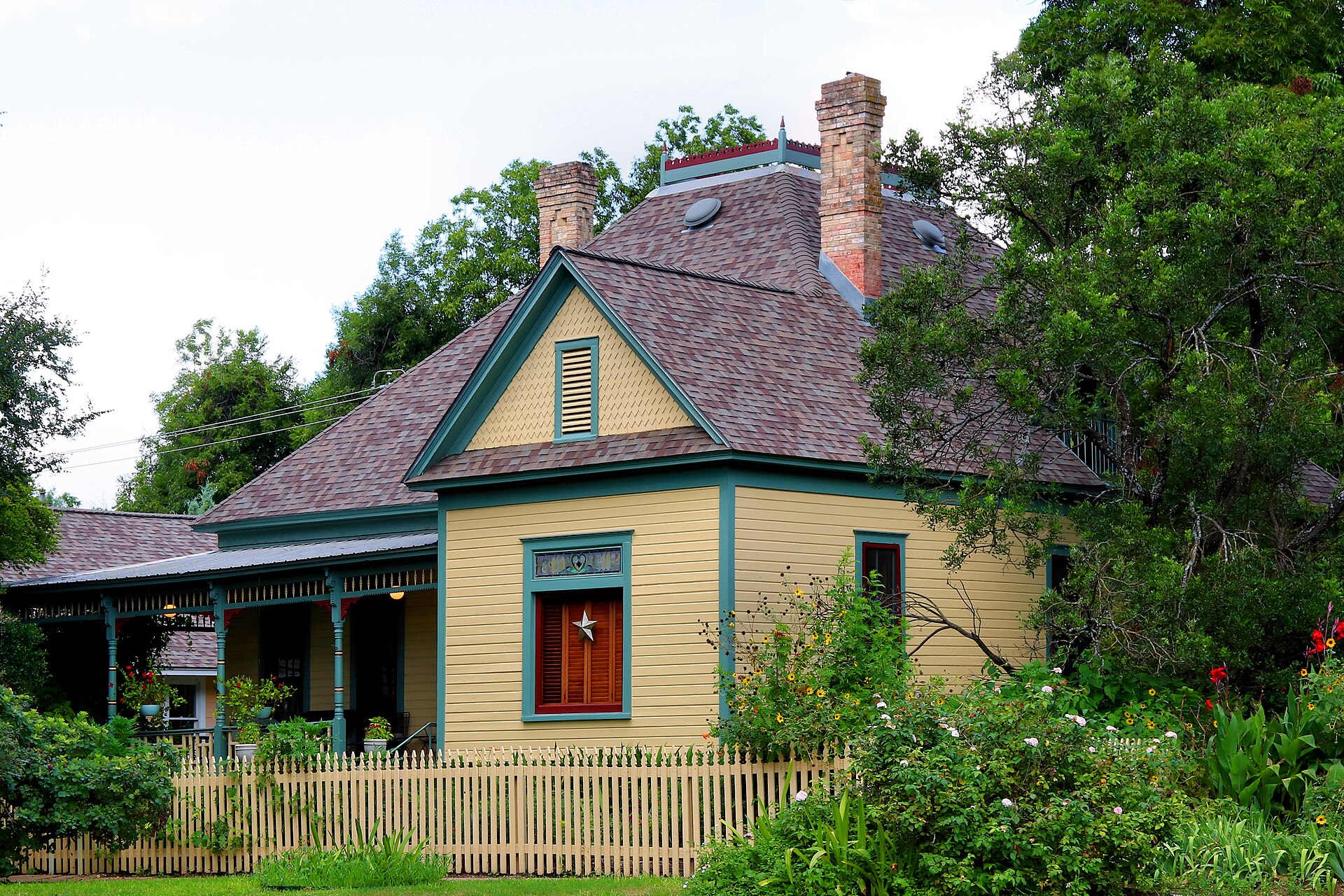
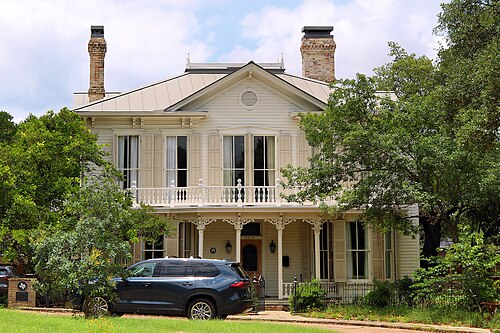
Kopperl House Austin Texas 2024, Hyde Park You checked the neighborhood.Now check an address ! Photo: Larry D. Moore, CC BY 4.0 · Wikimedia Commons

For $34.00 a CrimesLog™ Home Report provides: (where available)

  • Nearest 6 Pre-school Nurseries to Address
  • Nearest 6 Primary Schools to Address
  • Nearest 6 Secondary/High Schools to Address
  • Nearest College and University to Address
  • Nearest to Address Medical Clinics, Hospitals and Pharmacies
  • Nearest 2 Police Station details to Address

The Home Report also provides

  • The CrimesLog™ Home Score is a proprietary Home Safety Measure capturing crime frequency, severity, recency and proximity to Address from police crime reporting point
  • A map indicating police anonymized crime reporting points around Address
  • Crime category trendlines for Address neighborhood
  • List of Reported Crime Incidents around Address radius
  • Downloadable PDF report — A Permanent Copy to Keep and Share to aid your Property Research
  • Our crimes database of almost 60 million records is UPDATED EVERY MONTH from US, UK, CA police sources
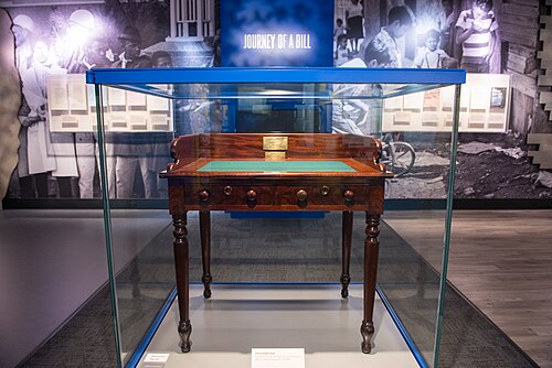
DIG13577-20, UT
UT · DIG13577-20
Photo: LBJ Library from Austin, Public domain · Wikimedia Commons
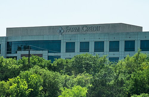
Farm Credit Bank of Texas - Austin, Davenport Lake Austin
Davenport Lake Austin · Farm Credit Bank of Texas - Austin
Photo: Tony Webster from Minneapolis, Minnesota, United States, CC BY 2.0 · Wikimedia Commons
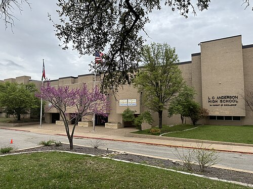
LC Anderson High School 2024, Westover Hills
Westover Hills · LC Anderson High School 2024
Photo: Slamforeman, CC BY 4.0 · Wikimedia Commons
Donnan-Hill House Austin Texas 2026, West Austin NG
West Austin NG · Donnan-Hill House Austin Texas 2026
Photo: Larry D. Moore, CC BY 4.0 · Wikimedia Commons
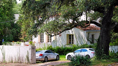
Goldie Horton Porter House Austin Texas 2024, Windsor Road
Windsor Road · Goldie Horton Porter House Austin Texas 2024
Photo: Larry D. Moore, CC BY 4.0 · Wikimedia Commons
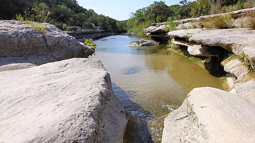
Bull Creek District Park Austin, Texas 2022, Bull Creek
Bull Creek · Bull Creek District Park Austin, Texas 2022
Photo: Larry D. Moore, CC BY 4.0 · Wikimedia Commons
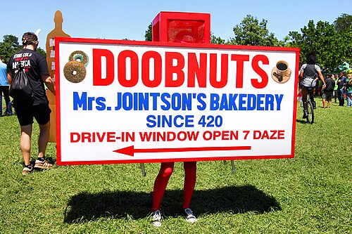
Parody Eeyores Birthday Austin Texas 2023, Old Enfield
Old Enfield · Parody Eeyores Birthday Austin Texas 2023
Photo: Larry D. Moore, CC BY 4.0 · Wikimedia Commons
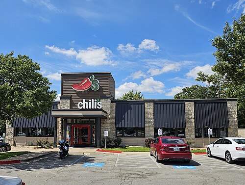
Chili's at 45th and Lamar in Austin, TX, Rosedale
Rosedale · Chili's at 45th and Lamar in Austin, TX
Photo: TerraFrost, CC BY 4.0 · Wikimedia Commons

How neighborhoods moved each quarter

2022

Whole-area crime rate 21.9 to 24.3 per 1,000 (high: Q3 2022).

Big moves (4+ places in a quarter): moved up Hyde Park 7th→2nd (Q2) moved up Old Enfield 11th→3rd (Q3) moved up Rosedale 8th→4th (Q3) moved down Hyde Park 2nd→6th (Q3) moved down Northwest Hills 3rd→8th (Q3) moved down West Austin NG 5th→10th (Q3) moved down North University 6th→11th (Q3) moved down Highland Park 15th→19th (Q3) moved up Northwest Hills 8th→4th (Q4) moved down Windsor Road 5th→12th (Q4)

2023

Whole-area crime rate 20.8 to 23.1 per 1,000 (high: Q1 2023).

Big moves (4+ places in a quarter): moved up North University 10th→6th (Q1) moved down Old Enfield 2nd→13th (Q1) moved up West Austin NG 8th→3rd (Q2) moved up Triangle State 19th→8th (Q2) moved down Westover Hills 7th→11th (Q2) moved up Windsor Road 10th→3rd (Q3) moved up Westover Hills 11th→6th (Q3) moved down Hyde Park 2nd→7th (Q3) moved down Davenport Lake Austin 5th→10th (Q3) moved up Davenport Lake Austin 10th→2nd (Q4) moved up Bull Creek 12th→4th (Q4) moved up Highland Park 16th→7th (Q4) moved down Windsor Road 3rd→8th (Q4) moved down Northwest Hills 5th→11th (Q4) moved down Hyde Park 7th→12th (Q4) moved down Triangle State 9th→15th (Q4)

2024

Whole-area crime rate 21.6 to 23.7 per 1,000 (high: Q2 2024).

Big moves (4+ places in a quarter): moved up Westover Hills 9th→5th (Q1) moved up Northwest Hills 11th→6th (Q1) moved down North University 5th→11th (Q1) moved up Hyde Park 12th→7th (Q2) moved up Triangle State 17th→9th (Q2) moved down Highland Park 8th→16th (Q2) moved up Westover Hills 8th→2nd (Q3) moved down Davenport Lake Austin 2nd→6th (Q3) moved down Bull Creek 6th→11th (Q3) moved down Old Enfield 12th→19th (Q3) moved up Old Enfield 19th→11th (Q4) moved down Highland Park 14th→19th (Q4)

2025

Whole-area crime rate 22.8 to 23.9 per 1,000 (high: Q3 2025).

Big moves (4+ places in a quarter): moved down North University 7th→11th (Q1) moved up Bull Creek 13th→5th (Q2) moved down Northwest Hills 4th→8th (Q2) moved up West University 14th→10th (Q2) moved up Highland Park 18th→11th (Q2) moved down Triangle State 9th→14th (Q2) moved up Triangle State 14th→7th (Q3) moved down Rosedale 3rd→8th (Q3) moved up Old Enfield 15th→10th (Q3) moved down West Austin NG 7th→11th (Q3) moved down West University 10th→14th (Q3) moved down Highland Park 11th→17th (Q3) moved up Old Enfield 10th→2nd (Q4) moved up West Austin NG 11th→7th (Q4) moved down Windsor Road 4th→10th (Q4) moved down Triangle State 7th→11th (Q4)

2026

Whole-area crime rate 21.9 to 22.5 per 1,000 (high: Q2 2026). 2 quarters so far.

Big moves (4+ places in a quarter): moved up Old West Austin 16th→12th (Q1) moved down Triangle State 11th→15th (Q1) moved up Windsor Road 10th→5th (Q2) moved down Bull Creek 3rd→7th (Q2) moved down Old Enfield 4th→8th (Q2) moved up North University 14th→10th (Q2)

Reported Safety Incidents

In Q2 2026: public order incidents were 35% (1,121), property incidents were 31% (1,004), vehicle crimes were 18% (592) and violent incidents were 16% (532).

Recorded crime here is grouped into violent crime, property crime (burglary and theft), vehicle crime and public order offences, so you can compare how safe each neighborhood is for the kind of crime that matters to you.

Read category comparisons with care. A category that jumps while the total hardly moves looks like a change in how offences are classified, not in what happened: Q2 2025: vehicle down 28% while the total moved 1%. The whole-area rate is the steadier guide.

Places we left out, and places to read with care

No place is left out: every neighborhood in this race has residents to count.

Old Enfield (10.6 per 1,000 from 12 crimes among 1,133 residents) is a place with few residents (under 3,000): a rate on so few people says little about living there, so it is not named as the lowest or highest.

The 20 neighborhoods on the map

Austin Downtown, Central and West is made of 20 neighborhoods compared here, each in its own colour on the map. They are the City of Austin’s neighborhood areas, grouped into eight areas by CrimesLog from Austin Police Department sectors: 144,413 residents between them.

  • Allandale
  • Bull Creek
  • Davenport Lake Austin
  • Downtown
  • Hancock
  • Highland Park
  • Hyde Park
  • North Shoal Creek
  • North University
  • Northwest Hills
  • Old Enfield
  • Old West Austin
  • RMMA
  • Rosedale
  • Triangle State
  • UT
  • West Austin NG
  • West University
  • Westover Hills
  • Windsor Road

All 20 neighborhoods, Q2 2026

Crimes per 1,000 residents, Q2 2026, lowest first. The last two columns compare with Q1 2022.
#NeighborhoodResidentsAllViolentPropertyVehiclePublic orderRate vs Q1 2022Places gained
1UT8,3613.10.20.61.11.2up4%–
2Davenport Lake Austin5,5896.11.61.12.11.3down24%up1
3Westover Hills7,9317.31.41.61.92.4down43%up6
4West Austin NG12,3647.61.11.63.41.5up38%down2
5Windsor Road3,2628.61.23.11.82.5down20%up1
6Northwest Hills12,3089.52.33.31.52.5down6%down2
7Bull Creek7,5049.71.11.65.61.5down33%up4
8Old Enfield †1,13310.60.05.33.51.8down25%up2
9Rosedale7,06410.91.83.52.33.3up6%down4
10North University4,71412.91.74.72.54.0up7%down2
11West University16,23214.82.25.83.43.4down20%up2
12Hyde Park6,73415.21.94.91.96.4up40%down5
13Triangle State3,10816.76.84.83.21.9down63%up6
14Allandale8,07117.13.56.33.14.2down1%down2
15Old West Austin4,79320.92.36.35.86.5down6%down1
16Highland Park3,57921.20.32.215.43.4down49%up2
17Hancock5,37424.81.912.84.35.8down27%down1
18North Shoal Creek3,41724.93.89.76.74.7down31%down1
19RMMA8,76727.04.012.64.85.7up10%down4
20Downtown14,108106.819.128.410.149.2up16%–

† Old Enfield is a place with few residents. A rate on a very small number of residents or crimes is not comparable with the others.

Photographs

100 photographs of the 20 neighborhoods run along the reel; click one to see it full size. Each is credited here and under the large view.

All 100 photographs and their credits
  1. UT · DIG13577-20. Photo: LBJ Library from Austin, Public domain · Wikimedia Commons
  2. Davenport Lake Austin · Farm Credit Bank of Texas - Austin. Photo: Tony Webster from Minneapolis, Minnesota, United States, CC BY 2.0 · Wikimedia Commons
  3. Westover Hills · LC Anderson High School 2024. Photo: Slamforeman, CC BY 4.0 · Wikimedia Commons
  4. West Austin NG · Donnan-Hill House Austin Texas 2026. Photo: Larry D. Moore, CC BY 4.0 · Wikimedia Commons
  5. Windsor Road · Goldie Horton Porter House Austin Texas 2024. Photo: Larry D. Moore, CC BY 4.0 · Wikimedia Commons
  6. Bull Creek · Bull Creek District Park Austin, Texas 2022. Photo: Larry D. Moore, CC BY 4.0 · Wikimedia Commons
  7. Old Enfield · Parody Eeyores Birthday Austin Texas 2023. Photo: Larry D. Moore, CC BY 4.0 · Wikimedia Commons
  8. Rosedale · Chili's at 45th and Lamar in Austin, TX. Photo: TerraFrost, CC BY 4.0 · Wikimedia Commons
  9. North University · Kirby Hall School, Austin, Texas. Photo: Slamforeman, CC BY 4.0 · Wikimedia Commons
  10. West University · B-cycle Austin. Photo: bikesharedude, Public domain · Wikimedia Commons
  11. Hyde Park · Baker Center Austin Dec 2023. Photo: Slamforeman, CC BY 4.0 · Wikimedia Commons
  12. Triangle State · Austin State Hospital. Photo: Larry D. Moore, CC BY 4.0 · Wikimedia Commons
  13. Old West Austin · Sweet Home Baptist Church Austin 2014. Photo: Larry D. Moore, CC BY 4.0 · Wikimedia Commons
  14. Highland Park · Chez Zee. Photo: JD Hancock from Austin, TX, United States, CC BY 2.0 · Wikimedia Commons
  15. Hancock · Austin Chronicle Headquarters. Photo: Larry D. Moore, CC BY 4.0 · Wikimedia Commons
  16. North Shoal Creek · Texas Department of Criminal Justice Austin. Photo: Larry D. Moore, CC BY 4.0 · Wikimedia Commons
  17. RMMA · Mueller Austin Solar Array1. Photo: Larry D. Moore, CC BY 4.0 · Wikimedia Commons
  18. Downtown · Bungalow Bar Rainey Street 2013. Photo: Larry D. Moore, CC BY 4.0 · Wikimedia Commons
  19. UT · College of Natural Sciences - UT Austin. Photo: ajay_suresh, CC BY 4.0 · Wikimedia Commons
  20. Davenport Lake Austin · Amherst Group - Amherst Holdings Office in Austin, Texas. Photo: Tony Webster from Minneapolis, Minnesota, United States, CC BY 2.0 · Wikimedia Commons
  21. West Austin NG · Contemporary-Austin-Laguna-Gloria-entrance-sign. Photo: Stevensaylor, CC0 · Wikimedia Commons
  22. Windsor Road · Bailey Park Shelter House Austin 2014. Photo: Larry D. Moore, CC BY 4.0 · Wikimedia Commons
  23. Bull Creek · Pennybacker Bridge Sunset 2006. Photo: Larry D. Moore, CC BY 4.0 · Wikimedia Commons
  24. Old Enfield · Snead Rieck House Austin Texas 2024. Photo: Larry D. Moore, CC BY 4.0 · Wikimedia Commons
  25. Rosedale · Congregation Beth Israel (Austin, Texas) Front Entrance Dec 2023. Photo: Slamforeman, CC BY 4.0 · Wikimedia Commons
  26. West University · Neill Cochran House 2007. Photo: Larry D. Moore, CC BY 4.0 · Wikimedia Commons
  27. Hyde Park · 3802 Avenue H Austin Texas 2026. Photo: Larry D. Moore, CC BY 4.0 · Wikimedia Commons
  28. Triangle State · Austin State Hospital Front View of 801. Photo: Brainy J, CC0 · Wikimedia Commons
  29. Old West Austin · Former Naus Enfield Drug Austin Texas 2024. Photo: Larry D. Moore, CC BY 4.0 · Wikimedia Commons
  30. Highland Park · Camp Mabry Guard House. Photo: Larry D. Moore, CC BY 4.0 · Wikimedia Commons
  31. Hancock · Commodore Perry Estate Hotel (Austin, TX). Photo: TerraFrost, CC BY 4.0 · Wikimedia Commons
  32. RMMA · Mueller Trail Ends. Photo: Fastmole, CC0 · Wikimedia Commons
  33. Downtown · Austin, TX Skyline 2026. Photo: Quintin Soloviev, CC BY 4.0 · Wikimedia Commons
  34. UT · Austin Presbyterian Theological Seminary Building. Photo: Slamforeman, CC BY 4.0 · Wikimedia Commons
  35. Davenport Lake Austin · Wild Basin Waterfall Austin Texas. Photo: Larry D. Moore, CC BY 4.0 · Wikimedia Commons
  36. West Austin NG · American Legion 75 Mm Field Gun Display Austin 2023. Photo: Larry D. Moore, CC BY 4.0 · Wikimedia Commons
  37. Windsor Road · Lower Shoal Creek Bridge Austin 2018. Photo: Larry D. Moore, CC BY 4.0 · Wikimedia Commons
  38. Bull Creek · 360 Bridge Sunset, Austin TX. Photo: sbmeaper1, CC0 · Wikimedia Commons
  39. Old Enfield · Crusemann Marsh Bell House Austin Texas 2024. Photo: Larry D. Moore, CC BY 4.0 · Wikimedia Commons
  40. West University · Carrington Bluff House Austin Texas 2026. Photo: Larry D. Moore, CC BY 4.0 · Wikimedia Commons
  41. Hyde Park · 3804 Avenue H Austin Texas 2026. Photo: Larry D. Moore, CC BY 4.0 · Wikimedia Commons
  42. Old West Austin · Austin Skyline June 2018. Photo: Nick Amoscato, CC BY 2.0 · Wikimedia Commons
  43. Highland Park · Camp Mabry Plaque. Photo: Larry D. Moore, CC BY 4.0 · Wikimedia Commons
  44. RMMA · Mueller Lake Park and Hangar 2014. Photo: Larry D. Moore, CC BY 4.0 · Wikimedia Commons
  45. Downtown · Barrientos Mexican American Cultural Center Austin Texas 2026. Photo: Larry D. Moore, CC BY 4.0 · Wikimedia Commons
  46. UT · Buen Retiro Austin Texas 2024. Photo: Larry D. Moore, CC BY 4.0 · Wikimedia Commons
  47. Davenport Lake Austin · Wild Basin Trail Bridge Austin Texas. Photo: Larry D. Moore, CC BY 4.0 · Wikimedia Commons
  48. West Austin NG · Brackenridge Field Laboratory Ut Austin. Photo: Larry D. Moore, CC BY 4.0 · Wikimedia Commons
  49. Windsor Road · Lower Shoal Creek Bridge Deck Austin 2018. Photo: Larry D. Moore, CC BY 4.0 · Wikimedia Commons
  50. Bull Creek · 360 Bridge Before Storm, Austin TX. Photo: sbmeaper1, CC0 · Wikimedia Commons
  51. Old Enfield · Felts Moss House Austin Texas 2026. Photo: Larry D. Moore, CC BY 4.0 · Wikimedia Commons
  52. West University · Beriah Graham House Austin Texas 2023. Photo: Larry D. Moore, CC BY 4.0 · Wikimedia Commons
  53. Hyde Park · 3800 Avenue H Austin Texas 2026. Photo: Larry D. Moore, CC BY 4.0 · Wikimedia Commons
  54. Highland Park · Merci Train Boxcar (Texas), Train de la Reconnaissance Française Side. Photo: BryanMau, CC0 · Wikimedia Commons
  55. RMMA · Roger Lavon Taylor Sr Plaza 1 Austin, Texas 2026. Photo: Larry D. Moore, CC BY 4.0 · Wikimedia Commons
  56. Downtown · Barrientos Mexican American Cultural Center 1 Austin Texas 2026. Photo: Larry D. Moore, CC BY 4.0 · Wikimedia Commons
  57. UT · Brackenridge Dormitory Ut Austin. Photo: Larry D. Moore, CC BY 4.0 · Wikimedia Commons
  58. Davenport Lake Austin · Bridge Point Elementary School Eanes ISD. Photo: Larry D. Moore, CC BY 4.0 · Wikimedia Commons
  59. West Austin NG · Brackenridge Apartments Austin Tx. Photo: Larry D. Moore, CC BY 4.0 · Wikimedia Commons
  60. West University · Edmund and Emily Miller House Austin Texas 2026. Photo: Larry D. Moore, CC BY 4.0 · Wikimedia Commons
  61. Hyde Park · Elvira Manor Davis House Austin Texas 2024. Photo: Larry D. Moore, CC BY 4.0 · Wikimedia Commons
  62. RMMA · Roger Lavon Taylor Sr Plaza 4 Austin, Texas 2026. Photo: Larry D. Moore, CC BY 4.0 · Wikimedia Commons
  63. Downtown · Austin Us Courthouse 2011. Photo: Larry D. Moore, CC BY 4.0 · Wikimedia Commons
  64. UT · Darrell K Royal – Texas Memorial Stadium, Austin, TX. Photo: Robert Barlow, CC BY 3.0 · Wikimedia Commons
  65. Davenport Lake Austin · Austin Skyline from Loop 360 Overlook 2026. Photo: Larry D. Moore, CC BY 4.0 · Wikimedia Commons
  66. West Austin NG · Deep Eddy Pool Bathhouse 2014. Photo: Larry D. Moore, CC BY 4.0 · Wikimedia Commons
  67. West University · Gerhard Schoch House Austin Texas 2026. Photo: Larry D. Moore, CC BY 4.0 · Wikimedia Commons
  68. Hyde Park · Avenue B Grocery in Austin, Texas 2025. Photo: SueRostvold, CC BY 4.0 · Wikimedia Commons
  69. RMMA · Roger Lavon Taylor Sr Plaza 5 Austin, Texas 2026. Photo: Larry D. Moore, CC BY 4.0 · Wikimedia Commons
  70. Downtown · Arthouse Jones Center 2012. Photo: Larry D. Moore, CC BY 4.0 · Wikimedia Commons
  71. UT · Austin Building East Elevation 2018. Photo: Larry D. Moore, CC BY 4.0 · Wikimedia Commons
  72. Davenport Lake Austin · WGC Dell Match Play. Photo: Magnushopium, CC0 · Wikimedia Commons
  73. Hyde Park · Hyde Park Presbyterian Church 2009. Photo: Larry D. Moore, CC BY 4.0 · Wikimedia Commons
  74. Downtown · African Americans in the Texas Revolution, Austin, Texas Historical Marker. Photo: Nicolas Henderson from Coppell, Texas, CC BY 2.0 · Wikimedia Commons
  75. UT · Art Building UT Austin 2018. Photo: Larry D. Moore, CC BY 4.0 · Wikimedia Commons
  76. Hyde Park · Hyde Park Schools Austin Texas 2024. Photo: Larry D. Moore, CC BY 4.0 · Wikimedia Commons
  77. Downtown · Driskill Hotel, Austin, Texas Historical Marker. Photo: Nicolas Henderson from Coppell, Texas, CC BY 2.0 · Wikimedia Commons
  78. UT · Fine Arts Library - UT Austin. Photo: ajay_suresh, CC BY 4.0 · Wikimedia Commons
  79. Hyde Park · Mansbendel Williams House Austin Texas 2024. Photo: Larry D. Moore, CC BY 4.0 · Wikimedia Commons
  80. Downtown · First Classes of the University of Texas Law School, Austin, Texas Historical Marker. Photo: Nicolas Henderson from Coppell, Texas, CC BY 2.0 · Wikimedia Commons
  81. UT · Gregory Gym - UT Austin. Photo: ajay_suresh, CC BY 4.0 · Wikimedia Commons
  82. Hyde Park · Hyde Park Theatre Building Austin 2020. Photo: Larry D. Moore, CC BY 4.0 · Wikimedia Commons
  83. Downtown · City of Austin Municipal Building. Photo: Larry D. Moore, CC BY 4.0 · Wikimedia Commons
  84. UT · Gates-Dell Complex - UT Austin. Photo: ajay_suresh, CC BY 4.0 · Wikimedia Commons
  85. Hyde Park · Kopperl House Austin Texas 2024. Photo: Larry D. Moore, CC BY 4.0 · Wikimedia Commons
  86. Downtown · 700 Lavaca Street Austin Texas Travis County Offices. Photo: Larry D. Moore, CC BY 4.0 · Wikimedia Commons
  87. UT · Littlefield House 2007. Photo: Larry D. Moore, CC BY 4.0 · Wikimedia Commons
  88. Hyde Park · Front Porch of Avenue B Grocery 2025. Photo: SueRostvold, CC BY 4.0 · Wikimedia Commons
  89. Downtown · Capitol Center Austin Texas 2022 a. Photo: Larry D. Moore, CC BY 4.0 · Wikimedia Commons
  90. UT · Carothers Dormitory Ut Austin. Photo: Larry D. Moore, CC BY 4.0 · Wikimedia Commons
  91. Downtown · Capitol Center Austin Texas 2022 B. Photo: Larry D. Moore, CC BY 4.0 · Wikimedia Commons
  92. UT · Andrews Dormitory Ut Austin. Photo: Larry D. Moore, CC BY 4.0 · Wikimedia Commons
  93. Downtown · Austin Texas Food Truck 3. Photo: Kurtkaiser, CC0 · Wikimedia Commons
  94. UT · George W. Littlefield THC Marker. Photo: Slamforeman, CC BY 4.0 · Wikimedia Commons
  95. Downtown · 2005 North American Solar Challenge Race Start in Austin, Texas. Photo: United States Department of Energy, Public domain · Wikimedia Commons
  96. UT · Littlefield House - UT Austin. Photo: ajay_suresh, CC BY 4.0 · Wikimedia Commons
  97. Downtown · Congress Avenue Austin Texas 1980s. Photo: Larry D. Moore, CC BY 4.0 · Wikimedia Commons
  98. Downtown · Congress Avenue2 Austin Texas 1980s. Photo: Larry D. Moore, CC BY 4.0 · Wikimedia Commons
  99. Downtown · Matsen House Austin Texas 2023. Photo: Larry D. Moore, CC BY 4.0 · Wikimedia Commons
  100. Downtown · ACC Rio Grande Campus 2014. Photo: Larry D. Moore, CC BY 4.0 · Wikimedia Commons

Sources and notes

CrimesLog sources crime incident data published by the Austin Police Department (APD) through the City of Austin ArcGIS Open Data service (maps.austintexas.gov), containing public sector information made available by the City of Austin.

Population: U.S. Census Bureau, American Community Survey 5-year estimates (public domain).

First-place medal: 1st Place Medal emoji icon by Icons8.

Neighborhood boundaries are defined by City of Austin Open Data, grouped into eight areas by CrimesLog from Austin Police Department sectors and simplified by CrimesLog. The photographs are credited under each picture.

Rates are recorded crimes per 1,000 residents, quarter by quarter; where a neighborhood has fewer than 100 residents the rate would be worked out on 100 (those places are left out of the race). A count of recorded crime is not a verdict on any neighborhood.