Los Angeles, California · Neighborhood crime trends

Los Angeles Central LA

24 neighborhoods - a quarterly race to the lowest crime rate.

Crime Trends: Neighborhoods compared - each quarter from Q1 2022

Los Angeles as a whole averaged 14.4 crimes for every 1,000 residents per quarter in Q2 2026, while Central LA averaged 22.9 (leaving out 1 place with almost no residents), hence it is generally less safe when all crimes are considered.

How do the 24 neighborhoods of Central LA compare? In Q2 2026 the police recorded 18,322 crimes across them, 22.9 for every 1,000 residents. That is 5.2% above a year earlier and 6.9% above Q1 2022, the first quarter we track.

Los Feliz has the lowest rate of the everyday neighborhoods (8.2 per 1,000), followed by Elysian Valley (9.5) and Windsor Square (9.7). Downtown has the highest (73.6).

Use the RACE CHARTS below to watch all 24 LOS ANGELES CENTRAL LA NEIGHBORHOODs race across 18 quarter periods from Q1 2022 to Q2 2026 - one crime category at a time or all together. The race chart can be used to compare average crime rates by category against Los Angeles's average.

Neighborhood boundaries are defined by Mapping L.A. (Los Angeles Times, CC BY 4.0) and simplified by CrimesLog.
Lowest rate (everyday)
lowest rateLos Feliz
8.2 crimes per 1,000 residents, Q2 2026
Highest rate
upDowntown
73.6 per 1,000, Q2 2026
Whole area, Q2 2026
22.9 per 1,000
up 5.2% above a year earlier · up 6.9% above Q1 2022
Compared
24 neighborhoods
800,676 residents · 18 quarters

Los Angeles Central LA neighborhood quarterly crime race

Press ▶︎ to watch Q1 2022 to Q2 2026. Tick one crime category or several; hover a bar for the neighborhood. Property crimes includes burglaries and thefts.

Crime categories
Indicated: crimes rate per 1000 residents per quarterAll · safest at the top · square-root scale · Q1 2022 to Q2 202601510255013.2Arlington Heights24.9Beverly Grove22.3Carthay14.8Chinatown65.0Downtown14.9East Hollywood14.7Echo Park15.3Elysian Park8.0Elysian Valley34.0Fairfax16.4Hancock Park15.7Harvard Heights30.2Hollywood15.9Hollywood Hills12.2Hollywood Hills West16.9Koreatown17.2Larchmont12.4Los Feliz13.6Mid-City13.9Mid-Wilshire19.1Pico-Union14.9Silver Lake17.4Westlake19.2Windsor SquareLos Angeles Q2 2026 average all crimes (14.4)Numbers are crimes per 1,000 residents per quarter. Zero-crime quarters show 0 and rank safest. Not included, no residents: Griffith Park.
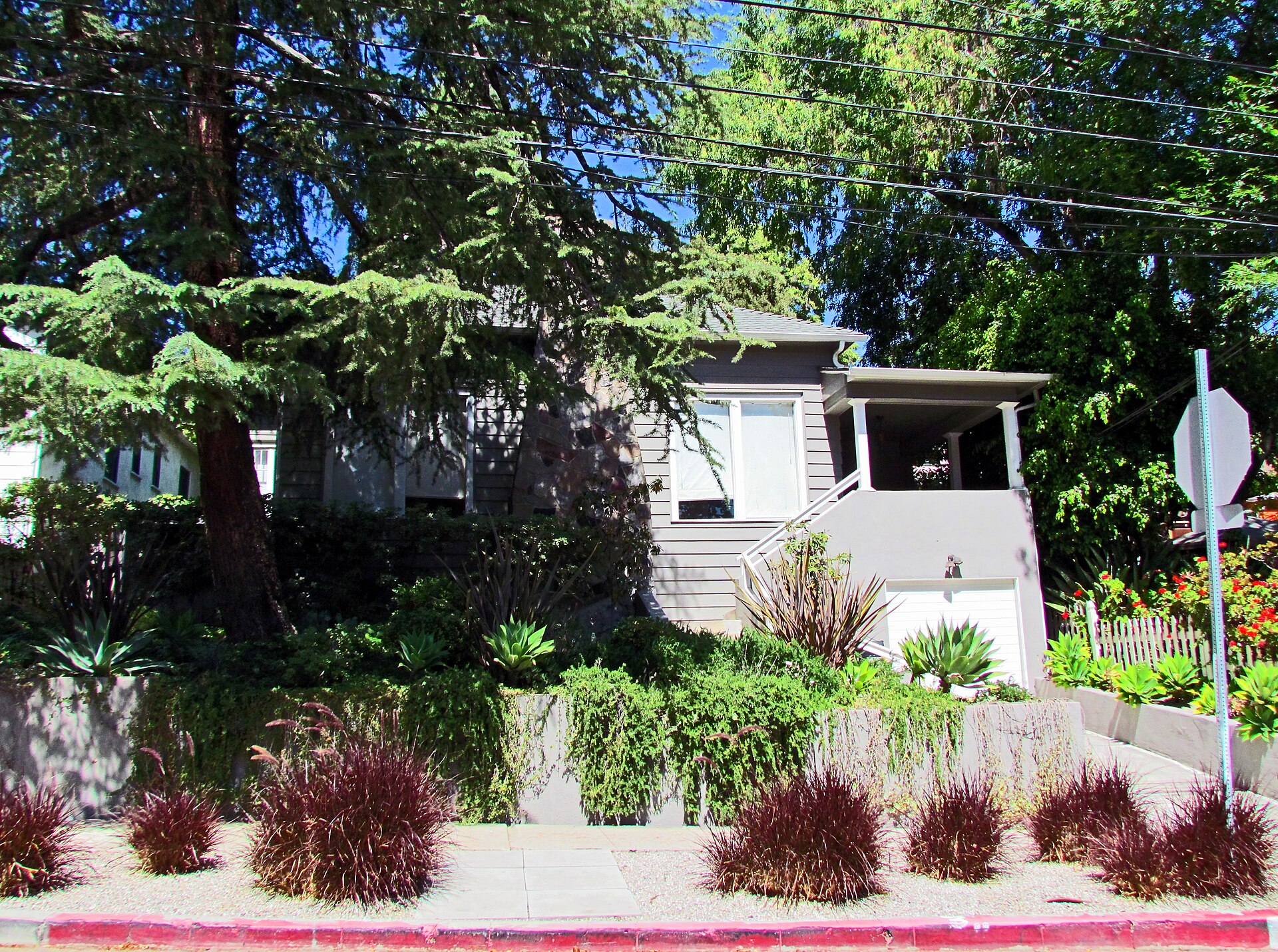
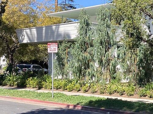
2440 Edgewater Terrace, Los Angeles, CA 90039, Chinatown You checked the neighborhood.Now check an address ! Photo: Marika Bortolami, CC BY 2.0 · Wikimedia Commons

For $34.00 a CrimesLog™ Home Report provides: (where available)

  • Nearest 6 Pre-school Nurseries to Address
  • Nearest 6 Primary Schools to Address
  • Nearest 6 Secondary/High Schools to Address
  • Nearest College and University to Address
  • Nearest to Address Medical Clinics, Hospitals and Pharmacies
  • Nearest 2 Police Station details to Address

The Home Report also provides

  • The CrimesLog™ Home Score is a proprietary Home Safety Measure capturing crime frequency, severity, recency and proximity to Address from police crime reporting point
  • A map indicating police anonymized crime reporting points around Address
  • Crime category trendlines for Address neighborhood
  • List of Reported Crime Incidents around Address radius
  • Downloadable PDF report — A Permanent Copy to Keep and Share to aid your Property Research
  • Our crimes database of almost 60 million records is UPDATED EVERY MONTH from US, UK, CA police sources
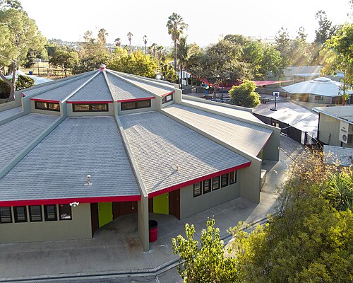
Midtown School Pavilion Buildings from North 2015-11-29, Los Feliz
Los Feliz · Midtown School Pavilion Buildings from North 2015-11-29
Photo: Junkyardsparkle, CC0 · Wikimedia Commons
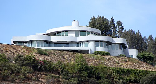
Hollywood Mansion 2, Hollywood Hills West
Hollywood Hills West · Hollywood Mansion 2
Photo: Tony Hisgett from Birmingham, UK, CC BY 2.0 · Wikimedia Commons
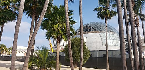
Academy Museum of Motion Pictures, Mid-Wilshire
Mid-Wilshire · Academy Museum of Motion Pictures
Photo: Luijtenphotos, CC0 · Wikimedia Commons
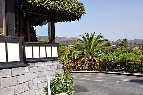
Hollywood Hills, Los Angeles, CA, USA, Hollywood Hills
Hollywood Hills · Hollywood Hills, Los Angeles, CA, USA
Photo: Андрей Бобровский, CC BY 3.0 · Wikimedia Commons
Los Angeles CA 20230215 (1), Mid-City
Mid-City · Los Angeles CA 20230215 (1)
Photo: Sony 1992, CC0 · Wikimedia Commons
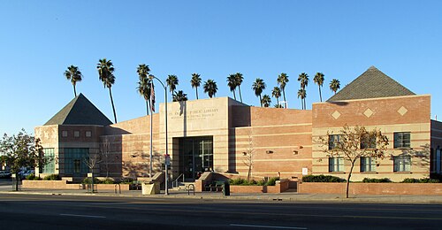
Washington Irving Branch Library, Arlington Heights
Arlington Heights · Washington Irving Branch Library
Photo: Downtowngal, Public domain · Wikimedia Commons
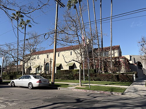
Los Angeles Tennis Club Building, Hancock Park
Hancock Park · Los Angeles Tennis Club Building
Photo: S. Dudley, Public domain · Wikimedia Commons
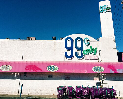
99 Cent Store. Silverlake. Los Angeles, CA, Silver Lake
Silver Lake · 99 Cent Store. Silverlake. Los Angeles, CA
Photo: Kathy Drasky, CC BY 2.0 · Wikimedia Commons

How neighborhoods moved each quarter

2022

Whole-area crime rate 21.4 to 23.1 per 1,000 (high: Q3 2022).

Big moves (4+ places in a quarter): moved up Hollywood Hills 13th→8th (Q2) moved up Larchmont 16th→9th (Q2) moved up Koreatown 15th→10th (Q2) moved up Pico-Union 18th→12th (Q2) moved down Chinatown 8th→13th (Q2) moved down Arlington Heights 4th→15th (Q2) moved down Harvard Heights 12th→16th (Q2) moved down Elysian Park 11th→23rd (Q2) moved up Arlington Heights 15th→9th (Q3) moved down Mid-City 5th→10th (Q3) moved up Harvard Heights 16th→11th (Q3) moved down Hollywood Hills 8th→14th (Q3) moved down Chinatown 13th→17th (Q3) moved up Pico-Union 15th→9th (Q4) moved up Hollywood Hills 14th→10th (Q4) moved up Carthay 19th→12th (Q4) moved up Windsor Square 18th→13th (Q4) moved down Harvard Heights 11th→15th (Q4) moved down Arlington Heights 9th→17th (Q4) moved down Hancock Park 13th→18th (Q4) moved down Mid-Wilshire 4th→19th (Q4)

2023

Whole-area crime rate 21.7 to 23.0 per 1,000 (high: Q4 2023).

Big moves (4+ places in a quarter): moved up Chinatown 16th→4th (Q1) moved up Hancock Park 18th→10th (Q1) moved up Arlington Heights 17th→11th (Q1) moved up Elysian Park 21st→15th (Q1) moved down Pico-Union 9th→16th (Q1) moved down Silver Lake 4th→18th (Q1) moved down Harvard Heights 15th→19th (Q1) moved down Carthay 12th→20th (Q1) moved up Hollywood Hills 8th→4th (Q2) moved up Arlington Heights 11th→7th (Q2) moved up Windsor Square 14th→8th (Q2) moved up Pico-Union 16th→10th (Q2) moved up Mid-Wilshire 17th→11th (Q2) moved up Silver Lake 18th→13th (Q2) moved up Harvard Heights 19th→14th (Q2) moved down Chinatown 4th→16th (Q2) moved down Westlake 13th→17th (Q2) moved down Hancock Park 10th→18th (Q2) moved down Elysian Park 15th→23rd (Q2) moved up Windsor Square 8th→4th (Q3) moved up Chinatown 16th→6th (Q3) moved down Arlington Heights 7th→12th (Q3) moved up Hancock Park 18th→13th (Q3) moved down Mid-Wilshire 11th→15th (Q3) moved down Silver Lake 13th→18th (Q3) moved down Chinatown 6th→10th (Q4)

2024

Whole-area crime rate 21.6 to 24.3 per 1,000 (high: Q3 2024).

Big moves (4+ places in a quarter): moved up Arlington Heights 13th→7th (Q1) moved down East Hollywood 8th→12th (Q1) moved down Echo Park 7th→15th (Q1) moved up Silver Lake 17th→4th (Q2) moved up Mid-Wilshire 13th→8th (Q2) moved up Carthay 19th→13th (Q2) moved down Windsor Square 6th→14th (Q2) moved down Pico-Union 9th→17th (Q2) moved up Carthay 13th→6th (Q3) moved up Windsor Square 14th→7th (Q3) moved up Echo Park 12th→8th (Q3) moved down Arlington Heights 6th→10th (Q3) moved down Hollywood Hills West 5th→11th (Q3) moved down Mid-Wilshire 8th→12th (Q3) moved down Koreatown 10th→14th (Q3) moved down Chinatown 9th→17th (Q3) moved up Windsor Square 7th→3rd (Q4) moved up Hollywood Hills West 11th→6th (Q4) moved up Mid-Wilshire 12th→8th (Q4) moved up Chinatown 17th→11th (Q4) moved down Echo Park 8th→15th (Q4) moved down Carthay 6th→17th (Q4)

2025

Whole-area crime rate 21.3 to 22.4 per 1,000 (high: Q3 2025).

Big moves (4+ places in a quarter): moved up Arlington Heights 9th→3rd (Q1) moved up Mid-Wilshire 8th→4th (Q1) moved up Echo Park 15th→8th (Q1) moved down Windsor Square 3rd→12th (Q1) moved down Silver Lake 7th→13th (Q1) moved down Larchmont 5th→15th (Q1) moved up Elysian Park 22nd→18th (Q1) moved up Windsor Square 12th→3rd (Q2) moved up Larchmont 15th→5th (Q2) moved up Silver Lake 13th→6th (Q2) moved down Mid-Wilshire 4th→8th (Q2) moved down Arlington Heights 3rd→9th (Q2) moved down Echo Park 8th→12th (Q2) moved up Harvard Heights 19th→15th (Q2) moved down Chinatown 9th→17th (Q2) moved up Mid-Wilshire 8th→3rd (Q3) moved up Arlington Heights 9th→5th (Q3) moved down Elysian Valley 2nd→7th (Q3) moved up Echo Park 12th→8th (Q3) moved up Hancock Park 20th→11th (Q3) moved down Larchmont 5th→14th (Q3) moved down Harvard Heights 15th→19th (Q3) moved down Chinatown 17th→21st (Q3) moved up Elysian Valley 7th→3rd (Q4) moved down Windsor Square 6th→13th (Q4) moved up Carthay 18th→14th (Q4)

2026

Whole-area crime rate 21.5 to 22.9 per 1,000 (high: Q2 2026). 2 quarters so far.

Big moves (4+ places in a quarter): moved up Beverly Grove 20th→14th (Q1) moved down Pico-Union 11th→16th (Q1) moved up Windsor Square 12th→3rd (Q2)

Reported Safety Incidents

In Q2 2026: property incidents were 40% (7,246), violent incidents were 24% (4,395), vehicle crimes were 20% (3,703) and public order incidents were 15% (2,741).

Recorded crime here is grouped into violent crime, property crime (burglary and theft), vehicle crime and public order offences, so you can compare how safe each neighborhood is for the kind of crime that matters to you.

Read category comparisons with care. A category that jumps while the total hardly moves looks like a change in how offences are classified, not in what happened: Q3 2024: public order up 50% while the total moved 9%; Q2 2025: public order up 30% while the total moved 2%. The whole-area rate is the steadier guide.

Places we left out, and places to read with care

Left out: Griffith Park. They have almost no residents: their crimes are against visitors, so a rate per resident says little about living there.

Elysian Park (22.3 per 1,000 from 54 crimes among 2,421 residents) is a place with few residents (under 3,000): a rate on so few people says little about living there, so it is not named as the lowest or highest.

The 24 neighborhoods on the map

Central LA is made of 24 neighborhoods compared here, each in its own colour on the map. They are the neighborhoods of Mapping L.A. (Los Angeles Times, CC BY 4.0), grouped into five areas of the city by CrimesLog: 800,676 residents between them.

  • Arlington Heights
  • Beverly Grove
  • Carthay
  • Chinatown
  • Downtown
  • East Hollywood
  • Echo Park
  • Elysian Park
  • Elysian Valley
  • Fairfax
  • Hancock Park
  • Harvard Heights
  • Hollywood
  • Hollywood Hills
  • Hollywood Hills West
  • Koreatown
  • Larchmont
  • Los Feliz
  • Mid-City
  • Mid-Wilshire
  • Pico-Union
  • Silver Lake
  • Westlake
  • Windsor Square

All 24 neighborhoods, Q2 2026

Crimes per 1,000 residents, Q2 2026, lowest first. The last two columns compare with Q1 2022.
#NeighborhoodResidentsAllViolentPropertyVehiclePublic orderRate vs Q1 2022Places gained
1Los Feliz33,2448.21.33.52.60.7down34%up2
2Elysian Valley6,4159.51.63.72.81.4up20%down1
3Windsor Square5,5709.70.95.82.10.5down50%up16
4Hollywood Hills West14,72011.82.06.22.70.6down3%down2
5Mid-Wilshire44,53212.22.45.63.01.0down12%up1
6Hollywood Hills21,51712.61.65.94.11.0down21%up7
7Mid-City47,44712.83.45.12.81.3down6%down2
8Arlington Heights19,30012.84.05.32.31.1down2%down4
9Hancock Park10,11915.11.68.93.11.3down8%up5
10Silver Lake29,40415.52.05.86.70.9up4%down1
11Carthay4,85015.75.06.63.70.4down30%up9
12Echo Park33,39916.53.76.44.41.9up12%down5
13Koreatown103,16416.74.85.73.52.5down1%up2
14Pico-Union36,63818.46.05.13.63.3down3%up4
15Beverly Grove22,11918.62.411.62.91.4down25%up6
16Larchmont7,96220.02.15.33.19.4up16%–
17East Hollywood62,49920.05.16.82.84.9up34%down7
18Westlake110,61121.85.87.13.25.4up25%down1
19Elysian Park †2,42122.33.34.18.36.6up46%down8
20Harvard Heights17,50924.26.08.35.04.2up55%down8
21Chinatown17,49627.23.712.93.66.8up84%down13
22Fairfax12,54527.84.016.26.01.2down18%up1
23Hollywood73,74730.57.513.85.13.6up1%down1
24Downtown63,44873.618.629.416.18.9up13%–

† Elysian Park is a place with few residents. A rate on a very small number of residents or crimes is not comparable with the others.

Photographs

116 photographs of the 24 neighborhoods run along the reel; click one to see it full size. Each is credited here and under the large view.

All 116 photographs and their credits
  1. Los Feliz · Midtown School Pavilion Buildings from North 2015-11-29. Photo: Junkyardsparkle, CC0 · Wikimedia Commons
  2. Hollywood Hills West · Hollywood Mansion 2. Photo: Tony Hisgett from Birmingham, UK, CC BY 2.0 · Wikimedia Commons
  3. Mid-Wilshire · Academy Museum of Motion Pictures. Photo: Luijtenphotos, CC0 · Wikimedia Commons
  4. Hollywood Hills · Hollywood Hills, Los Angeles, CA, USA. Photo: Андрей Бобровский, CC BY 3.0 · Wikimedia Commons
  5. Mid-City · Los Angeles CA 20230215 (1). Photo: Sony 1992, CC0 · Wikimedia Commons
  6. Arlington Heights · Washington Irving Branch Library. Photo: Downtowngal, Public domain · Wikimedia Commons
  7. Hancock Park · Los Angeles Tennis Club Building. Photo: S. Dudley, Public domain · Wikimedia Commons
  8. Silver Lake · 99 Cent Store. Silverlake. Los Angeles, CA. Photo: Kathy Drasky, CC BY 2.0 · Wikimedia Commons
  9. Carthay · Лос-Анджелес. Photo: Андрей Бобровский, CC BY 3.0 · Wikimedia Commons
  10. Echo Park · Beverly Hills, Carroll Avenue, Los Angeles, CA. Photo: cisko66, CC BY 3.0 · Wikimedia Commons
  11. Koreatown · Carnegie Library in Mt Vernon Square Washington DC 2. Photo: Tedder, CC BY 3.0 · Wikimedia Commons
  12. Pico-Union · Caroline Bumiller House. Photo: Mila alden, CC0 · Wikimedia Commons
  13. Beverly Grove · Crossroads Kitchen, Los Angeles (July 2023). Photo: Benoît Prieur, CC0 · Wikimedia Commons
  14. East Hollywood · Altar Surp Garabed Armenian Church, Hollywood July 2022. Photo: Benoît Prieur, CC0 · Wikimedia Commons
  15. Westlake · MacArthur Park, Los Angeles, CA, USA. Photo: peter boy12qq12, CC BY 3.0 · Wikimedia Commons
  16. Elysian Park · Arroyo Seco Parkway Through Elysian Park. Photo: Steve Devorkin of Caltrans, Public domain · Wikimedia Commons
  17. Harvard Heights · Lucy E. Wheeler Martin E. Weil House 2. Photo: Phatblackmama, CC0 · Wikimedia Commons
  18. Chinatown · Los Angeles City Hall from Chinatown. Photo: George Rose, Los Angeles Times, CC BY 4.0 · Wikimedia Commons
  19. Fairfax · Ginger Bread House. Photo: Prayitno / Thank you for (12 millions +) view from Los Angeles, USA, CC BY 2.0 · Wikimedia Commons
  20. Hollywood · First Baptist Church. Photo: cisko66, CC BY 3.0 · Wikimedia Commons
  21. Downtown · Bunker Hill, Los Angeles July 2022. Photo: Benoît Prieur, CC0 · Wikimedia Commons
  22. Griffith Park · Griffith Observatory 2010 2. Photo: kl91711, CC BY 3.0 · Wikimedia Commons
  23. Los Feliz · Toberman House 1749 Harvard Boulevard 2015-05-03. Photo: Junkyardsparkle, CC0 · Wikimedia Commons
  24. Mid-Wilshire · 5225 Wilshire Boulevard. Photo: Eden, Janine and Jim from New York City, CC BY 2.0 · Wikimedia Commons
  25. Hollywood Hills · Hollywood Hills, Los Angeles, CA, USA. Photo: Ameer Attia, CC BY 3.0 · Wikimedia Commons
  26. Mid-City · Los Angeles CA 20230215 (11). Photo: Sony 1992, CC0 · Wikimedia Commons
  27. Arlington Heights · 4th Avenue (Los Angeles) July 2023. Photo: Benoît Prieur, CC0 · Wikimedia Commons
  28. Hancock Park · The Hermoyne Building. Photo: S. Dudley, Public domain · Wikimedia Commons
  29. Silver Lake · Bethany Presbyterian Church (Silver Lake), Los Angeles (Sept. 2024). Photo: Alexis Doine, CC0 · Wikimedia Commons
  30. Carthay · World Premier, Carthay Circle Theatre, Los Angeles, California. Photo: Boston Public Library, CC BY 2.0 · Flickr
  31. Echo Park · Halliwell House (Streghe). Photo: cisko66, CC BY 3.0 · Wikimedia Commons
  32. Koreatown · Carnegie Library in Mt Vernon Square Washington DC. Photo: Tedder, CC BY 3.0 · Wikimedia Commons
  33. Beverly Grove · Cedars of Lebanon Hospital. Photo: Los Angeles Times, CC BY 4.0 · Wikimedia Commons
  34. East Hollywood · PATH Building (Los Angeles) July 2023. Photo: Benoît Prieur, CC0 · Wikimedia Commons
  35. Westlake · Felipe De Neve Library. Photo: Downtowngal, Public domain · Wikimedia Commons
  36. Elysian Park · Southbound SR 110 at Tunnels in Elysian Park. Photo: Eric Richardson from Los Angeles, CC BY 2.0 · Wikimedia Commons
  37. Chinatown · Chinatown. Photo: rob Stoeltje from loenen, netherlands, CC BY 2.0 · Wikimedia Commons
  38. Fairfax · Gilmore Antique Gas Station. Photo: Prayitno / Thank you for (12 millions +) view from Los Angeles, USA, CC BY 2.0 · Wikimedia Commons
  39. Hollywood · Crossroad North La Brea Avenue & Romaine Street (West Hollywood) July 2023. Photo: Benoît Prieur, CC0 · Wikimedia Commons
  40. Downtown · Las Pasturas Building ( Union Station ). Photo: Prayitno / Thank you for (12 millions +) view from Los Angeles, USA, CC BY 2.0 · Wikimedia Commons
  41. Griffith Park · Los Angeles. Photo: Jeremy Thompson, CC BY 2.0 · Wikimedia Commons
  42. Los Feliz · Saint Mary of the Angels Church 4510 Finley Avenue 2015-06-21. Photo: Junkyardsparkle, CC0 · Wikimedia Commons
  43. Hollywood Hills · Hollywood Sign, N. Beachwood Dr.. Photo: Alen Ištoković, CC BY 3.0 · Wikimedia Commons
  44. Mid-City · View of Mid City Los Angeles from Griffith Observatory - Los Angeles, California, USA. Photo: Glen Bowman, CC BY 2.0 · Flickr
  45. Arlington Heights · Olympic & 4th (July 2023). Photo: Benoît Prieur, CC0 · Wikimedia Commons
  46. Hancock Park · Ravenswood Apartments Awning. Photo: S. Dudley, Public domain · Wikimedia Commons
  47. Echo Park · Beverly Hills, Carroll Avenue, Los Angeles, CA. Photo: cisko66, CC BY 3.0 · Wikimedia Commons
  48. Koreatown · Koreatown, Los Angeles, CA, USA. Photo: kajikawa, CC BY 3.0 · Wikimedia Commons
  49. Beverly Grove · Brain Dead Studios, Los Angeles (Sept. 2024). Photo: Alexis Doine, CC0 · Wikimedia Commons
  50. East Hollywood · Barnsdall Park Arts Center (Residence A) from Northwest A 2015-05-10. Photo: Junkyardsparkle, CC0 · Wikimedia Commons
  51. Westlake · MacArthur Park, Los Angeles, CA, USA. Photo: peter boy12qq12, CC BY 3.0 · Wikimedia Commons
  52. Elysian Park · Dodger Stadium Field from Upper Deck 2015-10-04. Photo: Junkyardsparkle, CC0 · Wikimedia Commons
  53. Chinatown · Dr. Sun Yat Sen Statue. Photo: Prayitno / Thank you for (12 millions +) view from Los Angeles, USA, CC BY 2.0 · Wikimedia Commons
  54. Fairfax · Antique Gas Station. Photo: Prayitno / Thank you for (12 millions +) view from Los Angeles, USA, CC BY 2.0 · Wikimedia Commons
  55. Hollywood · A View of North Highland Avenue in July 2023. Photo: Benoît Prieur, CC0 · Wikimedia Commons
  56. Downtown · Los Angeles, CA Central Library 1971. Photo: Adam from Champaign, Illinois, USA, CC BY 2.0 · Wikimedia Commons
  57. Griffith Park · Los Angeles. Photo: Jeremy Thompson, CC BY 2.0 · Wikimedia Commons
  58. Los Feliz · Ennis-Brown House. Photo: HarshLight from San Jose, CA, USA, CC BY 2.0 · Wikimedia Commons
  59. Hollywood Hills · Tornborg House View from Northwest 2015-11-15. Photo: Junkyardsparkle, CC0 · Wikimedia Commons
  60. Arlington Heights · Los Angeles CA 20230215 (110). Photo: Sony 1992, CC0 · Wikimedia Commons
  61. Hancock Park · The Hermoyne Plaque. Photo: S. Dudley, Public domain · Wikimedia Commons
  62. Echo Park · Westlake, Los Angeles, CA, USA. Photo: peter boy12qq12, CC BY 3.0 · Wikimedia Commons
  63. East Hollywood · Barnsdall Park Arts Center (Residence A) from Southwest 2015-05-10. Photo: Junkyardsparkle, CC0 · Wikimedia Commons
  64. Westlake · City West, Los Angeles, CA, USA. Photo: peter boy12qq12, CC BY 3.0 · Wikimedia Commons
  65. Elysian Park · Dodger Stadium Field from Upper Deck (Crop). Photo: Junkyardsparkle, CC0 · Wikimedia Commons
  66. Chinatown · LA China Town. Photo: Prayitno / Thank you for (12 millions +) view from Los Angeles, USA, CC BY 2.0 · Wikimedia Commons
  67. Fairfax · Abercrombie & Fitch. Photo: Prayitno / Thank you for (12 millions +) view from Los Angeles, USA, CC BY 2.0 · Wikimedia Commons
  68. Hollywood · A View of West Sunset Boulevard in July 2023. Photo: Benoît Prieur, CC0 · Wikimedia Commons
  69. Downtown · Bunker Hill, Los Angeles de Nuit En Juillet 2022. Photo: Benoît Prieur, CC0 · Wikimedia Commons
  70. Griffith Park · Feliz Adobe from Northwest 2015-11-29. Photo: Junkyardsparkle, CC0 · Wikimedia Commons
  71. Los Feliz · Ennis-Brown House. Photo: HarshLight from San Jose, CA, USA, CC BY 2.0 · Wikimedia Commons
  72. Hollywood Hills · Chateau Des Fleurs Viewed from the Northwest 2015-07-12. Photo: Junkyardsparkle, CC0 · Wikimedia Commons
  73. Arlington Heights · Los Angeles CA 20230215 (123). Photo: Sony 1992, CC0 · Wikimedia Commons
  74. Hancock Park · Los Angeles Tennis Club Building 02. Photo: S. Dudley, Public domain · Wikimedia Commons
  75. Echo Park · Westlake, Los Angeles, CA, USA. Photo: Андрей Бобровский, CC BY 3.0 · Wikimedia Commons
  76. East Hollywood · Exterior of Vermont and Sunset Metro Station at Night 2015-02-13. Photo: Junkyardsparkle, CC0 · Wikimedia Commons
  77. Westlake · City West, Los Angeles, CA, USA. Photo: peter boy12qq12, CC BY 3.0 · Wikimedia Commons
  78. Elysian Park · Showing Traffic Over North Broadway Bridge from Elysian Park, Los Angeles, 1922 (AAA-EN-122-2). Photo: Fæ, CC BY 2.0 · Flickr
  79. Chinatown · Home Boy Bakery & Home Girl Cafe. Photo: Prayitno / Thank you for (12 millions +) view from Los Angeles, USA, CC BY 2.0 · Wikimedia Commons
  80. Fairfax · Brooklyn Projects Storefront. Photo: BrooklynProjects, CC BY 4.0 · Wikimedia Commons
  81. Hollywood · First Presbyterian Church (Hollywood) August 2024. Photo: Alexis Doine, CC0 · Wikimedia Commons
  82. Downtown · 11th Street (Los Angeles) En Juillet 2022 de Bon Matin. Photo: Benoît Prieur, CC0 · Wikimedia Commons
  83. Griffith Park · Griffith Park Overview Los Angeles. Photo: Prayitno / Thank you for (12 millions +) view, CC BY 2.0 · Flickr
  84. Los Feliz · Hollywood Boulevard, Hollywood (Little Armenia) Juillet 2022. Photo: Benoît Prieur, CC0 · Wikimedia Commons
  85. Hollywood Hills · Dreaming of Hollywood (Unsplash). Photo: Caleb George seemoris, CC0 · Wikimedia Commons
  86. Arlington Heights · Los Angeles CA 20230215 (12387). Photo: Sony 1992, CC0 · Wikimedia Commons
  87. Echo Park · Beverly Hills, Carroll Avenue, Los Angeles, CA. Photo: cisko66, CC BY 3.0 · Wikimedia Commons
  88. East Hollywood · Interior of Surp Garabed Armenian Church, Hollywood Stained-glass Window (1). Photo: Benoît Prieur, CC0 · Wikimedia Commons
  89. Westlake · City West, Los Angeles, CA, USA. Photo: peter boy12qq12, CC BY 3.0 · Wikimedia Commons
  90. Chinatown · Chinatown, Los Angeles, CA, USA. Photo: peter boy12qq12, CC BY 3.0 · Wikimedia Commons
  91. Fairfax · Farmers Market LA. Photo: Prayitno from Los Angeles, USA, CC BY 2.0 · Wikimedia Commons
  92. Hollywood · Dunning House (Los Angeles) LAHCM 441 2015-06-21. Photo: Junkyardsparkle, CC0 · Wikimedia Commons
  93. Downtown · Crossing Figueroa Street 5th Street (July 2022). Photo: Benoît Prieur, CC0 · Wikimedia Commons
  94. Griffith Park · Griffith Park Observatory - Los Angeles. Photo: Lam's Photo, CC BY 2.0 · Flickr
  95. Los Feliz · Casa Laguna 5200 W Franklin Avenue 2015-06-21. Photo: Junkyardsparkle, CC0 · Wikimedia Commons
  96. Arlington Heights · Los Angeles CA 20230215 (12407). Photo: Sony 1992, CC0 · Wikimedia Commons
  97. Echo Park · Beverly Hills, Carroll Avenue, Los Angeles, CA. Photo: cisko66, CC BY 3.0 · Wikimedia Commons
  98. East Hollywood · Los Angeles - -I---I. Photo: Sergei Gussev, CC BY 2.0 · Wikimedia Commons
  99. Westlake · William Penn Apartments, Los Angeles USA. Photo: The Erica Chang, CC BY 3.0 · Wikimedia Commons
  100. Chinatown · Chinatown, Los Angeles, CA, USA. Photo: peter boy12qq12, CC BY 3.0 · Wikimedia Commons
  101. Hollywood · Capitol Records Building, Hollywood. Photo: Rob Young from United Kingdom, CC BY 2.0 · Wikimedia Commons
  102. Downtown · 12th Street (Los Angeles) July 2022. Photo: Benoît Prieur, CC0 · Wikimedia Commons
  103. Los Feliz · Los Angeles, CA.. Photo: Rodrigo Paredes from Ciudad Autónoma de Buenos Aires, Argentina, CC BY 2.0 · Wikimedia Commons
  104. Echo Park · Beverly Hills, Carroll Avenue, Los Angeles, CA. Photo: cisko66, CC BY 3.0 · Wikimedia Commons
  105. East Hollywood · Los Angeles - -I---I. Photo: Sergei Gussev, CC BY 2.0 · Wikimedia Commons
  106. Westlake · California Donuts , Los Angeles USA. Photo: The Erica Chang, CC BY 3.0 · Wikimedia Commons
  107. Chinatown · Los Angeles - USA. Photo: Marika Bortolami from Italia, CC BY 2.0 · Wikimedia Commons
  108. Downtown · 777 Tower Los Angeles Pelli LC-HS503-502. Photo: Carol M. Highsmith, Public domain · Wikimedia Commons
  109. Los Feliz · Los Feliz Motel, Located 3101 Los Feliz Boulevard, Los Angeles 39, California. Photo: Boston Public Library, CC BY 2.0 · Flickr
  110. East Hollywood · Hollywood Presbyterian Medical Center at Night 2015-02-13. Photo: Junkyardsparkle, CC0 · Wikimedia Commons
  111. Chinatown · 2440 Edgewater Terrace, Los Angeles, CA 90039. Photo: Marika Bortolami, CC BY 2.0 · Wikimedia Commons
  112. East Hollywood · East Hollywood, Los Angeles, CA, USA. Photo: peter boy12qq12, CC BY 3.0 · Wikimedia Commons
  113. Chinatown · 268 Coronado St 90057 Los Angeles - USA. Photo: Marika Bortolami, CC BY 2.0 · Wikimedia Commons
  114. Chinatown · Cathay Bank, Chinatown, Los Angeles, CA, USA. Photo: peter boy12qq12, CC BY 3.0 · Wikimedia Commons
  115. Chinatown · Los Angeles Metro Chinatown Station 2026 April. Photo: AlexAndPedro, CC BY 4.0 · Wikimedia Commons
  116. Chinatown · Cathay Bank, Chinatown, Los Angeles, CA, USA. Photo: peter boy12qq12, CC BY 3.0 · Wikimedia Commons

Sources and notes

CrimesLog sources crime incident data published by the Los Angeles Police Department (LAPD) through the City of Los Angeles Open Data Portal (data.lacity.org), containing public sector information released under the Los Angeles Open Data Portal Terms of Use.

Population: U.S. Census Bureau, American Community Survey 5-year estimates (public domain).

First-place medal: 1st Place Medal emoji icon by Icons8.

Neighborhood boundaries are defined by Mapping L.A. (Los Angeles Times, CC BY 4.0), grouped into five areas of the city by CrimesLog and simplified by CrimesLog. The photographs are credited under each picture.

Rates are recorded crimes per 1,000 residents, quarter by quarter; where a neighborhood has fewer than 100 residents the rate would be worked out on 100 (those places are left out of the race). A count of recorded crime is not a verdict on any neighborhood.



