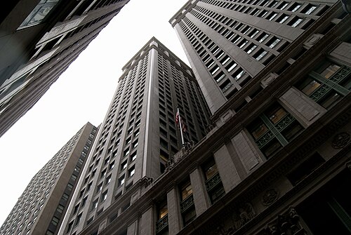
New York City · Neighborhood crime trends

New York Manhattan South

17 neighborhoods - a quarterly race to the lowest crime rate.

Crime Trends: Neighborhoods compared - each quarter from Q1 2022

New York as a whole averaged 16.5 crimes for every 1,000 residents per quarter in Q2 2026, while southern Manhattan averaged 24.3 (leaving out 2 places with almost no residents), hence it is generally less safe when all crimes are considered.

How do the 17 neighborhoods of southern Manhattan compare? In Q2 2026 the police recorded 17,033 crimes across them, 24.3 for every 1,000 residents. That is 10.2% below a year earlier and 5.6% above Q1 2022, the first quarter we track.

Stuyvesant Town-Peter Cooper Village has the lowest rate of the everyday neighborhoods (5.4 per 1,000), followed by Upper East Side-Lenox Hill-Roosevelt Island (6.6) and Murray Hill-Kips Bay (11.0). Midtown-Times Square has the highest (125.6).

Use the RACE CHARTS below to watch all 17 NEW YORK MANHATTAN SOUTH NEIGHBORHOODs race across 18 quarter periods from Q1 2022 to Q2 2026 - one crime category at a time or all together. The race chart can be used to compare average crime rates by category against New York's average.

Neighborhood boundaries are defined by NYC Department of City Planning, 2020 Neighborhood Tabulation Areas.
Lowest rate (everyday)
lowest rateStuyvesant Town-Peter Cooper Village
5.4 crimes per 1,000 residents, Q2 2026
Highest rate
upMidtown-Times Square
125.6 per 1,000, Q2 2026
Whole area, Q2 2026
24.3 per 1,000
down 10.2% below a year earlier · up 5.6% above Q1 2022
Compared
17 neighborhoods
700,957 residents · 18 quarters

New York Manhattan South neighborhood quarterly crime race

Press ▶︎ to watch Q1 2022 to Q2 2026. Tick one crime category or several; hover a bar for the neighborhood. Property crimes includes burglaries and thefts.

Crime categories
Indicated: crimes rate per 1000 residents per quarterAll · safest at the top · square-root scale · Q1 2022 to Q2 202601510255021.6Chelsea-Hudson Yards14.9Chinatown-Two Bridges17.4East Midtown-Turtle Bay18.0East Village17.2Financial District-Battery Park City16.6Gramercy21.4Greenwich Village18.3Hell's Kitchen33.0Lower East Side60.6Midtown South-Flatiron-Union Square94.4Midtown-Times Square12.8Murray Hill-Kips Bay37.5SoHo-Little Italy-Hudson Square10.5Stuyvesant Town-Peter Cooper Village37.6Tribeca-Civic Center6.9Upper East Side-Lenox Hill-Roosevelt Island21.6West VillageNew York Q2 2026 average all crimes (16.5)Numbers are crimes per 1,000 residents per quarter. Zero-crime quarters show 0 and rank safest. Not included, no residents: The Battery-Governors Island-Ellis Island-Liberty Island; United Nations.
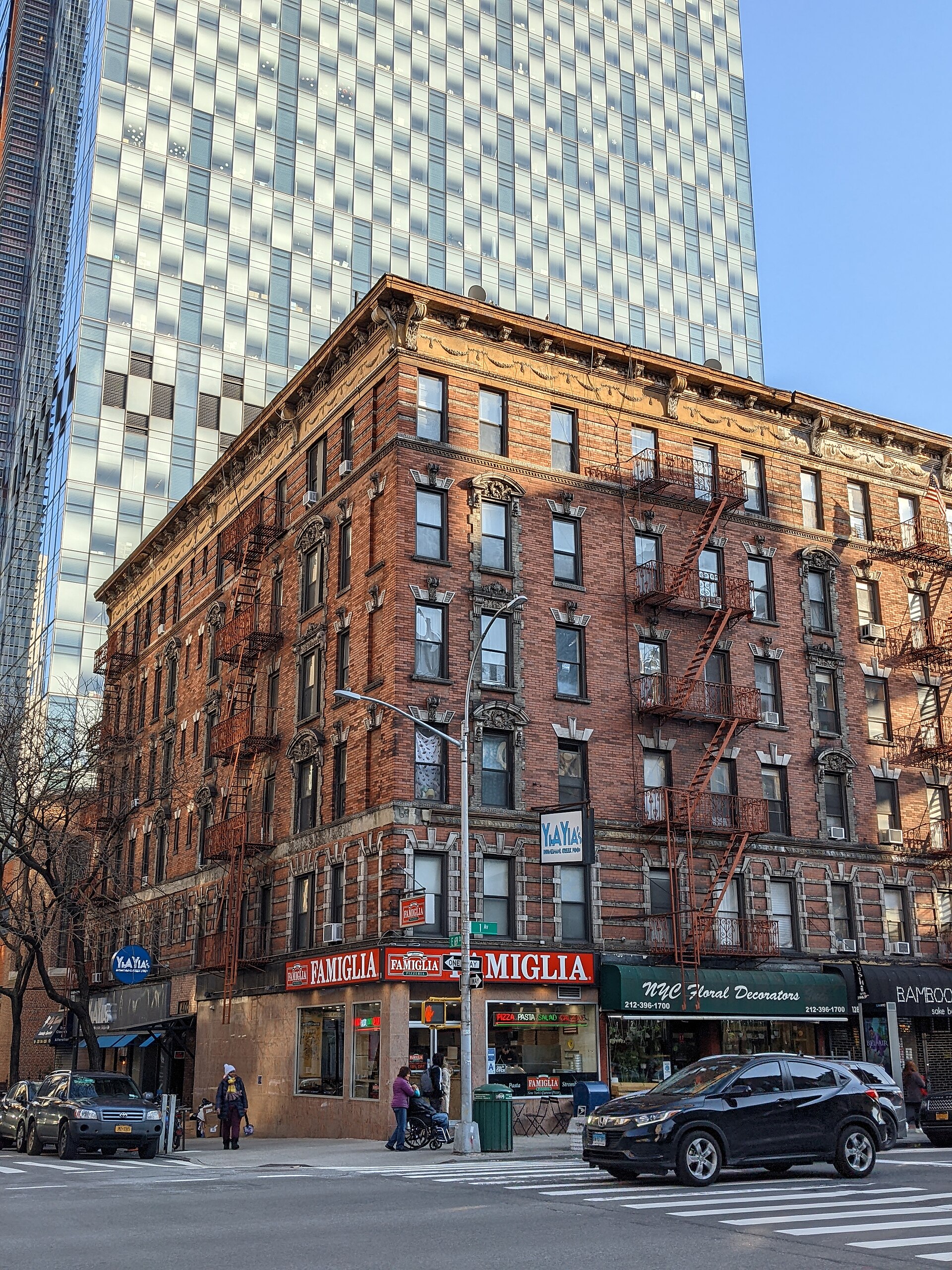
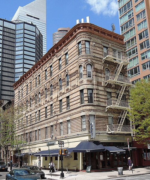
1284 First Avenue, Upper East Side-Lenox Hill-Roosevelt Island You checked the neighborhood.Now check an address ! Photo: Eden, Janine and Jim from New York City, CC BY 2.0 · Wikimedia Commons

For $34.00 a CrimesLog™ Home Report provides: (where available)

  • Nearest 6 Pre-school Nurseries to Address
  • Nearest 6 Primary Schools to Address
  • Nearest 6 Secondary/High Schools to Address
  • Nearest College and University to Address
  • Nearest to Address Medical Clinics, Hospitals and Pharmacies
  • Nearest 2 Police Station details to Address

The Home Report also provides

  • The CrimesLog™ Home Score is a proprietary Home Safety Measure capturing crime frequency, severity, recency and proximity to Address from police crime reporting point
  • A map indicating police anonymized crime reporting points around Address
  • Crime category trendlines for Address neighborhood
  • List of Reported Crime Incidents around Address radius
  • Downloadable PDF report — A Permanent Copy to Keep and Share to aid your Property Research
  • Our crimes database of almost 60 million records is UPDATED EVERY MONTH from US, UK, CA police sources
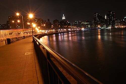
East River at Stuyvesant Cove Park, Stuyvesant Town-Peter Cooper Village
Stuyvesant Town-Peter Cooper Village · East River at Stuyvesant Cove Park
Photo: Ludovic Bertron from New York City, Usa, CC BY 2.0 · Wikimedia Commons
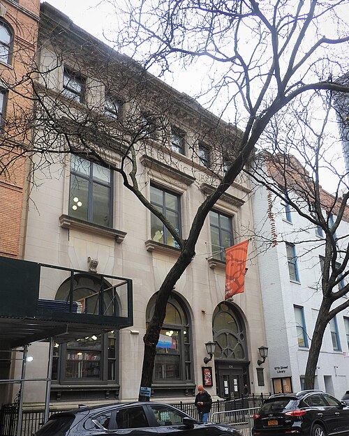
67th Street Branch NYPL, Upper East Side-Lenox Hill-Roosevelt Island
Upper East Side-Lenox Hill-Roosevelt Island · 67th Street Branch NYPL
Photo: Jim.henderson, CC BY 4.0 · Wikimedia Commons
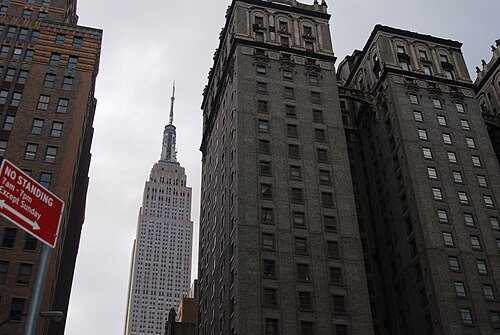
Empire State, Murray Hill-Kips Bay
Murray Hill-Kips Bay · Empire State
Photo: olekinderhook, CC BY 3.0 · Wikimedia Commons
251 E52 St 2nd Avenue Sun, East Midtown-Turtle Bay
East Midtown-Turtle Bay · 251 E52 St 2nd Avenue Sun
Photo: Jim.henderson, CC0 · Wikimedia Commons
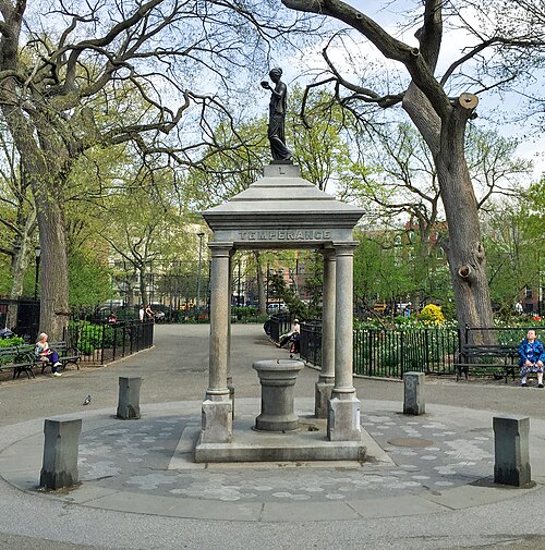
'Temperance' -- Henry Cogswell Temperance Monument in Tompkins Square Park New York (NY) April 2016, East Village
East Village · 'Temperance' -- Henry Cogswell Temperance Monument in Tompkins Square Park New York (NY) April 2016
Photo: Ron Cogswell from Arlington, Virginia, USA, CC BY 2.0 · Wikimedia Commons
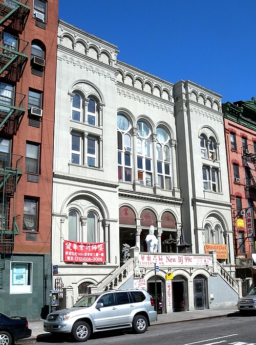
13 Pike Street Synagogue 1904, Chinatown-Two Bridges
Chinatown-Two Bridges · 13 Pike Street Synagogue 1904
Photo: Jim.henderson, CC0 · Wikimedia Commons
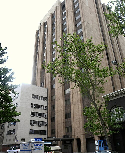
Cabrini Medical Center 220 E20 St, Gramercy
Gramercy · Cabrini Medical Center 220 E20 St
Photo: Jim.henderson, CC0 · Wikimedia Commons
Equitable Building, Financial District-Battery Park City
Financial District-Battery Park City · Equitable Building
Photo: Yottabytedev, CC BY 3.0 · Wikimedia Commons

How neighborhoods moved each quarter

2022

Whole-area crime rate 23.0 to 27.5 per 1,000 (high: Q3 2022).

No neighborhood moved more than three places in a quarter.

2023

Whole-area crime rate 23.0 to 26.1 per 1,000 (high: Q4 2023).

No neighborhood moved more than three places in a quarter.

2024

Whole-area crime rate 25.5 to 29.0 per 1,000 (high: Q3 2024).

Big moves (4+ places in a quarter): moved down Hell's Kitchen 8th→13th (Q1)

2025

Whole-area crime rate 25.1 to 27.1 per 1,000 (high: Q3 2025).

Big moves (4+ places in a quarter): moved down Chelsea-Hudson Yards 8th→12th (Q1)

2026

Whole-area crime rate 23.3 to 24.3 per 1,000 (high: Q2 2026). 2 quarters so far.

No neighborhood moved more than three places in a quarter.

Reported Safety Incidents

In Q2 2026: public order incidents were 46% (7,761), property incidents were 33% (5,657), violent incidents were 15% (2,638) and vehicle crimes were 3% (518).

Recorded crime here is grouped into violent crime, property crime (burglary and theft), vehicle crime and public order offences, so you can compare how safe each neighborhood is for the kind of crime that matters to you.

Places we left out, and places to read with care

Left out: The Battery-Governors Island-Ellis Island-Liberty Island; United Nations. They have almost no residents: their crimes are against visitors, so a rate per resident says little about living there.

The 17 neighborhoods on the map

Manhattan South is made of 17 neighborhoods compared here, each in its own colour on the map. They are the City Planning “Neighborhood Tabulation Areas”: 700,957 residents between them.

  • Chelsea-Hudson Yards
  • Chinatown-Two Bridges
  • East Midtown-Turtle Bay
  • East Village
  • Financial District-Battery Park City
  • Gramercy
  • Greenwich Village
  • Hell's Kitchen
  • Lower East Side
  • Midtown South-Flatiron-Union Square
  • Midtown-Times Square
  • Murray Hill-Kips Bay
  • SoHo-Little Italy-Hudson Square
  • Stuyvesant Town-Peter Cooper Village
  • Tribeca-Civic Center
  • Upper East Side-Lenox Hill-Roosevelt Island
  • West Village

All 17 neighborhoods, Q2 2026

Crimes per 1,000 residents, Q2 2026, lowest first. The last two columns compare with Q1 2022.
#NeighborhoodResidentsAllViolentPropertyVehiclePublic orderRate vs Q1 2022Places gained
1Stuyvesant Town-Peter Cooper Village22,0405.40.51.60.23.0down48%up1
2Upper East Side-Lenox Hill-Roosevelt Island77,1886.60.81.80.23.5down4%down1
3Murray Hill-Kips Bay53,74211.02.03.40.74.5down14%–
4East Midtown-Turtle Bay42,04612.61.93.50.76.2down28%up3
5East Village69,43714.92.64.00.37.3down17%up3
6Chinatown-Two Bridges38,00615.93.94.40.66.6up6%down2
7Gramercy25,90517.73.36.60.76.7up6%down2
8Financial District-Battery Park City48,19818.31.85.60.39.9up6%down2
9West Village31,91322.33.88.40.88.9up3%up3
10Greenwich Village31,62823.73.810.10.69.0up11%–
11Chelsea-Hudson Yards62,96025.65.17.00.612.1up19%–
12Lower East Side47,18526.14.87.10.912.2down21%up1
13Hell's Kitchen54,74327.15.78.50.911.3up48%down4
14Tribeca-Civic Center22,56335.44.814.80.913.5down6%up1
15SoHo-Little Italy-Hudson Square21,22051.34.124.51.620.4up37%down1
16Midtown South-Flatiron-Union Square29,14859.77.520.11.529.4down2%–
17Midtown-Times Square23,035125.615.743.63.160.6up33%–

Photographs

78 photographs of the 17 neighborhoods run along the reel; click one to see it full size. Each is credited here and under the large view.

All 78 photographs and their credits
  1. Stuyvesant Town-Peter Cooper Village · East River at Stuyvesant Cove Park. Photo: Ludovic Bertron from New York City, Usa, CC BY 2.0 · Wikimedia Commons
  2. Upper East Side-Lenox Hill-Roosevelt Island · 67th Street Branch NYPL. Photo: Jim.henderson, CC BY 4.0 · Wikimedia Commons
  3. Murray Hill-Kips Bay · Empire State. Photo: olekinderhook, CC BY 3.0 · Wikimedia Commons
  4. East Midtown-Turtle Bay · 251 E52 St 2nd Avenue Sun. Photo: Jim.henderson, CC0 · Wikimedia Commons
  5. East Village · 'Temperance' -- Henry Cogswell Temperance Monument in Tompkins Square Park New York (NY) April 2016. Photo: Ron Cogswell from Arlington, Virginia, USA, CC BY 2.0 · Wikimedia Commons
  6. Chinatown-Two Bridges · 13 Pike Street Synagogue 1904. Photo: Jim.henderson, CC0 · Wikimedia Commons
  7. Gramercy · Cabrini Medical Center 220 E20 St. Photo: Jim.henderson, CC0 · Wikimedia Commons
  8. Financial District-Battery Park City · Equitable Building. Photo: Yottabytedev, CC BY 3.0 · Wikimedia Commons
  9. West Village · 6th Precinct NYPD 233 W10. Photo: Jim.henderson, CC0 · Wikimedia Commons
  10. Greenwich Village · Garibaldi. Photo: Paul Sableman, CC BY 2.0 · Wikimedia Commons
  11. Chelsea-Hudson Yards · Chelsea Elliiot NYCHA. Photo: Jim.henderson, Public domain · Wikimedia Commons
  12. Lower East Side · 7th Precinct Broome Pitt. Photo: Jim.henderson, CC0 · Wikimedia Commons
  13. Hell's Kitchen · 10th Avenue 46 St Construction 2020. Photo: Jim.henderson, CC BY 4.0 · Wikimedia Commons
  14. SoHo-Little Italy-Hudson Square · Fire Escapes. Photo: Paul Sableman, CC BY 2.0 · Wikimedia Commons
  15. Midtown South-Flatiron-Union Square · Caldera with ESB in Red. Photo: Billie Grace Ward from New York, USA, CC BY 2.0 · Wikimedia Commons
  16. Midtown-Times Square · 47 50 Streets. Photo: Sharon Mollerus, CC BY 2.0 · Wikimedia Commons
  17. The Battery-Governors Island-Ellis Island-Liberty Island · Castle Williams SIF. Photo: Jim.henderson, Public domain · Wikimedia Commons
  18. United Nations · East River. Photo: qwesy qwesy, CC BY 3.0 · Wikimedia Commons
  19. Stuyvesant Town-Peter Cooper Village · Untitled. Photo: Abhijaigarg, CC BY 3.0 · Wikimedia Commons
  20. Upper East Side-Lenox Hill-Roosevelt Island · Untitled. Photo: Richard, CC BY 3.0 · Wikimedia Commons
  21. Murray Hill-Kips Bay · AMC Kips Bay. Photo: Eden, Janine and Jim from New York City, CC BY 2.0 · Wikimedia Commons
  22. East Village · 'Temperance' -- Henry Cogswell Temperance Monument in Tompkins Square New York (NY) April 2016. Photo: Ron Cogswell from Arlington, Virginia, USA, CC BY 2.0 · Wikimedia Commons
  23. Chinatown-Two Bridges · Comfort Inn Pike & Madison Sts. Photo: Jim.henderson, CC BY 3.0 · Wikimedia Commons
  24. Gramercy · Gramercy Park Snow. Photo: Jeff Trexler, CC BY 2.0 · Wikimedia Commons
  25. Financial District-Battery Park City · American International Pine St. Photo: Jim.henderson, CC BY 4.0 · Wikimedia Commons
  26. West Village · And You Thought Your Job Sucked!. Photo: Ludovic Bertron from New York City, Usa, CC BY 2.0 · Wikimedia Commons
  27. Greenwich Village · Broadway Below Grace Church. Photo: Eden, Janine and Jim from New York City, CC BY 2.0 · Wikimedia Commons
  28. Chelsea-Hudson Yards · Cedar Lake 547 W26 St from Hiline Sunny. Photo: Jim.henderson, CC BY 3.0 · Wikimedia Commons
  29. Lower East Side · Gompers NYCHA Pitt St. Photo: Jim.henderson, CC0 · Wikimedia Commons
  30. SoHo-Little Italy-Hudson Square · 7 For All Mankind. Photo: Paul Sableman, CC BY 2.0 · Wikimedia Commons
  31. Midtown South-Flatiron-Union Square · Covid-19 Info. Photo: Eden, Janine and Jim from New York City, CC BY 2.0 · Wikimedia Commons
  32. The Battery-Governors Island-Ellis Island-Liberty Island · Castle Williams Facade. Photo: Fletcher6, CC BY 4.0 · Wikimedia Commons
  33. United Nations · Interior of the North Lobby UN General Assembly Building NYC. Photo: Hayden Soloviev, CC BY 4.0 · Wikimedia Commons
  34. Stuyvesant Town-Peter Cooper Village · Untitled. Photo: Abhijaigarg, CC BY 3.0 · Wikimedia Commons
  35. Upper East Side-Lenox Hill-Roosevelt Island · 1219 First Avenue. Photo: Eden, Janine and Jim from New York City, CC BY 2.0 · Wikimedia Commons
  36. Murray Hill-Kips Bay · Coca-Cola Freestyle Dispensers at AMC Kips Bay 15. Photo: Tessa Bury, CC BY 4.0 · Wikimedia Commons
  37. East Village · Christodora. Photo: Eden, Janine and Jim from New York City, CC BY 2.0 · Wikimedia Commons
  38. Chinatown-Two Bridges · Another Side Of Chinatown. Photo: Chris Cook, CC BY 3.0 · Wikimedia Commons
  39. Financial District-Battery Park City · American Exchange National Bank LCCN99402728. Photo: Underhill, Irving, -1960, photographer, Public domain · Wikimedia Commons
  40. Greenwich Village · Bobst Library at Night. Photo: Eden, Janine and Jim, CC BY 2.0 · Wikimedia Commons
  41. Chelsea-Hudson Yards · Chelsea, New York, NY, USA - Panoramio - Sergei Gussev (13). Photo: Sergei Gussev, CC BY 3.0 · Wikimedia Commons
  42. Lower East Side · Lower East Side, New York, NY, USA. Photo: Sergei Gussev, CC BY 3.0 · Wikimedia Commons
  43. SoHo-Little Italy-Hudson Square · Excelsior Iron Works. Photo: Paul Sableman, CC BY 2.0 · Wikimedia Commons
  44. Midtown South-Flatiron-Union Square · Broadway & 27th. Photo: Eden, Janine and Jim from New York City, CC BY 2.0 · Wikimedia Commons
  45. Stuyvesant Town-Peter Cooper Village · Untitled. Photo: Abhijaigarg, CC BY 3.0 · Wikimedia Commons
  46. Upper East Side-Lenox Hill-Roosevelt Island · 1284 First Avenue. Photo: Eden, Janine and Jim from New York City, CC BY 2.0 · Wikimedia Commons
  47. Murray Hill-Kips Bay · AMC Kips Bay 15 Exterior with Citi Bike Station. Photo: Tessa Bury, CC BY 4.0 · Wikimedia Commons
  48. East Village · 7B NYC. Photo: Eden, Janine and Jim from New York City, CC BY 2.0 · Wikimedia Commons
  49. Chinatown-Two Bridges · Chinatown New York Color Street Photography. Photo: Giuseppe Milo, CC BY 3.0 · Wikimedia Commons
  50. Financial District-Battery Park City · Brown Brothers Harriman. Photo: Ajay Suresh from New York, NY, USA, CC BY 2.0 · Wikimedia Commons
  51. Chelsea-Hudson Yards · Chelsea Park. Photo: Eden, Janine and Jim from New York City, CC BY 2.0 · Wikimedia Commons
  52. SoHo-Little Italy-Hudson Square · 134 Spring Street. Photo: Tony Hisgett from Birmingham, UK, CC BY 2.0 · Wikimedia Commons
  53. Midtown South-Flatiron-Union Square · Capitol Plaza. Photo: Eden, Janine and Jim from New York City, CC BY 2.0 · Wikimedia Commons
  54. Stuyvesant Town-Peter Cooper Village · Untitled. Photo: Abhijaigarg, CC BY 3.0 · Wikimedia Commons
  55. Upper East Side-Lenox Hill-Roosevelt Island · Coleman Tower. Photo: Eden, Janine and Jim from New York City, CC BY 2.0 · Wikimedia Commons
  56. East Village · 7B in Winter. Photo: Eden, Janine and Jim from New York City, CC BY 2.0 · Wikimedia Commons
  57. Chinatown-Two Bridges · Chinatown. Photo: Chris Cook, CC BY 3.0 · Wikimedia Commons
  58. Financial District-Battery Park City · Cedar St IRT Entry (IRT = Interborough Rapid Transit, a New York City subway division). Photo: Jim.henderson, CC BY 4.0 · Wikimedia Commons
  59. SoHo-Little Italy-Hudson Square · 76 Greene St. Photo: Tony Hisgett from Birmingham, UK, CC BY 2.0 · Wikimedia Commons
  60. Midtown South-Flatiron-Union Square · Bike on 25th Street. Photo: Eden, Janine and Jim from New York City, CC BY 2.0 · Wikimedia Commons
  61. Stuyvesant Town-Peter Cooper Village · Discarded Christmas Trees Stuyvesant Town, New York. Photo: Marianne O'Leary, CC BY 2.0 · Wikimedia Commons
  62. Upper East Side-Lenox Hill-Roosevelt Island · Finnegan's Wake Pub. Photo: Eden, Janine and Jim from New York City, CC BY 2.0 · Wikimedia Commons
  63. East Village · 13th Street Dead End. Photo: Eden, Janine and Jim from New York City, CC BY 2.0 · Wikimedia Commons
  64. Chinatown-Two Bridges · Chinatown, Manhattan, New York City, 20231005 100742. Photo: Jakub Hałun, CC BY 4.0 · Wikimedia Commons
  65. Financial District-Battery Park City · 140 Broadway 006. Photo: Kidfly182, CC BY 4.0 · Wikimedia Commons
  66. SoHo-Little Italy-Hudson Square · 76 Greene St 2. Photo: Tony Hisgett from Birmingham, UK, CC BY 2.0 · Wikimedia Commons
  67. Midtown South-Flatiron-Union Square · 26th Street. Photo: Eden, Janine and Jim from New York City, CC BY 2.0 · Wikimedia Commons
  68. Upper East Side-Lenox Hill-Roosevelt Island · Arabella, a 157 Foot Sailing Yacht, in the West Channel of the East River, NYC. Photo: Stuttle2, CC BY 4.0 · Wikimedia Commons
  69. East Village · Copper Building. Photo: Eden, Janine and Jim from New York City, CC BY 2.0 · Wikimedia Commons
  70. SoHo-Little Italy-Hudson Square · Alexander McQueen. Photo: ajay_suresh, CC BY 2.0 · Wikimedia Commons
  71. Midtown South-Flatiron-Union Square · Capitol Chelsea Plaza. Photo: Eden, Janine and Jim from New York City, CC BY 2.0 · Wikimedia Commons
  72. Upper East Side-Lenox Hill-Roosevelt Island · Church of St. John Nepomucene. Photo: ajay_suresh, CC BY 4.0 · Wikimedia Commons
  73. East Village · Drink & Sing. Photo: Eden, Janine and Jim, CC BY 4.0 · Wikimedia Commons
  74. Midtown South-Flatiron-Union Square · Banded Highrises. Photo: Eden, Janine and Jim from New York City, CC BY 2.0 · Wikimedia Commons
  75. Midtown South-Flatiron-Union Square · Clouds Over Madison Square. Photo: Eden, Janine and Jim from New York City, CC BY 2.0 · Wikimedia Commons
  76. Midtown South-Flatiron-Union Square · 212 Fifth Avenue. Photo: Eden, Janine and Jim from New York City, CC BY 2.0 · Wikimedia Commons
  77. Midtown South-Flatiron-Union Square · 23rd Street Twilight. Photo: Eden, Janine and Jim from New York City, CC BY 2.0 · Wikimedia Commons
  78. Midtown South-Flatiron-Union Square · Cloudy Towers. Photo: Eden, Janine and Jim from New York City, CC BY 2.0 · Wikimedia Commons

Sources and notes

CrimesLog sources crime incident data published by the New York City Police Department (NYPD) through the NYC Open Data Portal, containing public sector information governed by the NYC Open Data Law (Local Law 11 of 2012) and the NYC.gov Terms of Use.

Population: U.S. Census Bureau, American Community Survey 5-year estimates (public domain).

First-place medal: 1st Place Medal emoji icon by Icons8.

Neighborhood boundaries are defined by NYC Department of City Planning, 2020 Neighborhood Tabulation Areas (NYC Open Data), merged and simplified by CrimesLog. The photographs are credited under each picture.

Rates are recorded crimes per 1,000 residents, quarter by quarter; where a neighborhood has fewer than 100 residents the rate would be worked out on 100 (those places are left out of the race). A count of recorded crime is not a verdict on any neighborhood.