Baltimore, Maryland · Neighborhood crime trends

Baltimore Southern District

22 neighborhoods - a quarterly race to the lowest crime rate.

Crime Trends: Neighborhoods compared - each quarter from Q1 2022

Baltimore as a whole averaged 22.7 crimes for every 1,000 residents per quarter in Q2 2026, while Southern District averaged 23.9 (leaving out 9 places with almost no residents), hence it is generally less safe when all crimes are considered.

How do the 22 neighborhoods of Southern District compare? In Q2 2026 the police recorded 1,393 crimes across them, 23.9 for every 1,000 residents. That is 0.9% above a year earlier and 26.3% above Q1 2022, the first quarter we track.

Locust Point has the lowest rate of the everyday neighborhoods (7.9 per 1,000), followed by South Baltimore (14.4) and Riverside (14.5). Curtis Bay has the highest (28.9).

Use the RACE CHARTS below to watch all 22 BALTIMORE SOUTHERN DISTRICT NEIGHBORHOODs race across 18 quarter periods from Q1 2022 to Q2 2026 - one crime category at a time or all together. The race chart can be used to compare average crime rates by category against Baltimore's average.

Neighborhood boundaries are defined by Baltimore City (Open Baltimore) and simplified by CrimesLog.
Lowest rate (everyday)
lowest rateLocust Point
7.9 crimes per 1,000 residents, Q2 2026
Highest rate
upCurtis Bay
28.9 per 1,000, Q2 2026
Whole area, Q2 2026
23.9 per 1,000
up 0.9% above a year earlier · up 26.3% above Q1 2022
Compared
22 neighborhoods
58,181 residents · 18 quarters

Baltimore Southern District neighborhood quarterly crime race

Press ▶︎ to watch Q1 2022 to Q2 2026. Tick one crime category or several; hover a bar for the neighborhood. Property crimes includes burglaries and thefts.

Crime categories
Indicated: crimes rate per 1000 residents per quarterAll · safest at the top · square-root scale · Q1 2022 to Q2 202601510255011.8Barre Circle26.1Brooklyn61.1Carrollton Ridge15.9Cherry Hill21.5Curtis Bay34.8Federal Hill27.6Hawkins Point25.9Hollins Market2.0Key Highway19.3Lakeland3.5Locust Point4.6Locust Point Industrial Area28.4Mount Clare12.1Mount Winans3.0Otterbein31.3Ridgely's Delight8.7Riverside17.4Sharp-Leadenhall6.9South Baltimore10.4Union Square22.7Washington Village/Pigtown32.2WestportBaltimore Q2 2026 average all crimes (22.7)Numbers are crimes per 1,000 residents per quarter. Zero-crime quarters show 0 and rank safest. Not included, no residents: Baltimore Peninsula; Carroll - Camden Industrial Area; Carroll Park;Curtis Bay Industrial Area; Fairfield Area; Middle Branch/Reedbird Parks; Saint Paul; Spring Garden Industrial Area; Stadium/Entertainment Area.
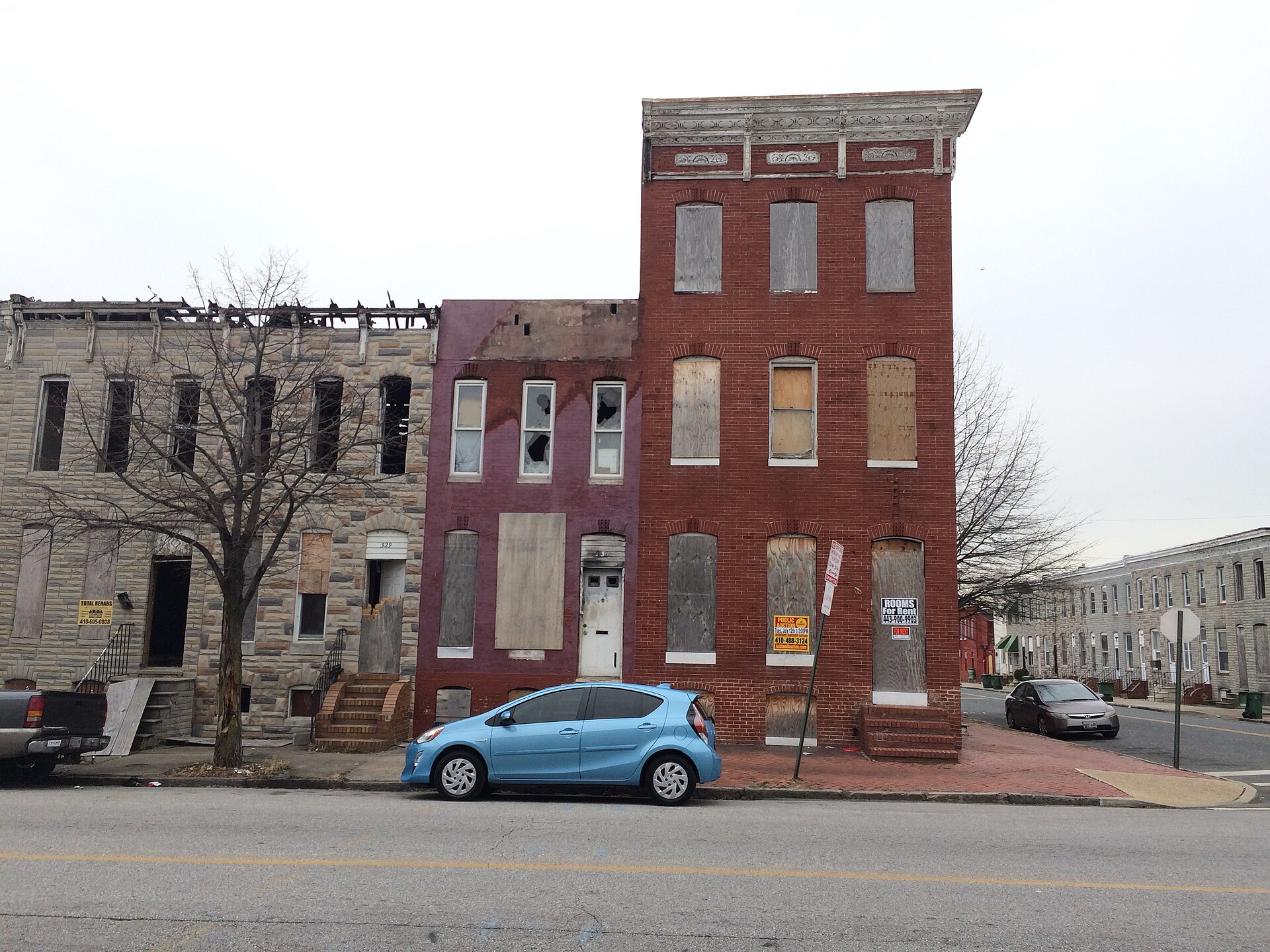
Vacant Rowhouses, Shipley Hill, Baltimore, Carrollton Ridge You checked the neighborhood.Now check an address ! Photo: Baltimore Heritage, CC0 · Wikimedia Commons

For $34.00 a CrimesLog™ Home Report provides: (where available)

  • Nearest 6 Pre-school Nurseries to Address
  • Nearest 6 Primary Schools to Address
  • Nearest 6 Secondary/High Schools to Address
  • Nearest College and University to Address
  • Nearest to Address Medical Clinics, Hospitals and Pharmacies
  • Nearest 2 Police Station details to Address

The Home Report also provides

  • The CrimesLog™ Home Score is a proprietary Home Safety Measure capturing crime frequency, severity, recency and proximity to Address from police crime reporting point
  • A map indicating police anonymized crime reporting points around Address
  • Crime category trendlines for Address neighborhood
  • List of Reported Crime Incidents around Address radius
  • Downloadable PDF report — A Permanent Copy to Keep and Share to aid your Property Research
  • Our crimes database of almost 60 million records is UPDATED EVERY MONTH from US, UK, CA police sources
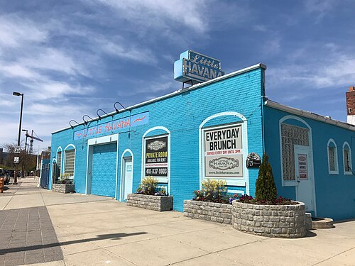
Little Havana, 1325 Key Highway, Baltimore, MD 21230, Key Highway
Key Highway · Little Havana, 1325 Key Highway, Baltimore, MD 21230
Photo: Baltimore Heritage from Baltimore, MD, USA, CC0 · Wikimedia Commons
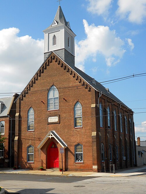
German Church Locust Point Baltimore, Locust Point
Locust Point · German Church Locust Point Baltimore
Photo: Smallbones, CC0 · Wikimedia Commons
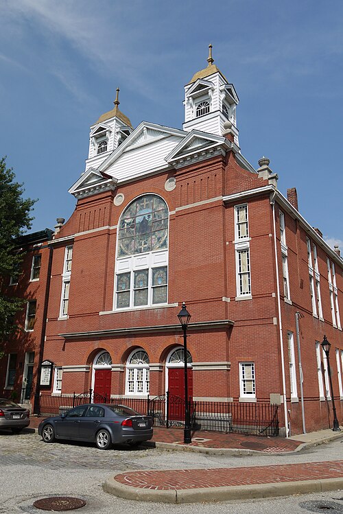
Former John Wesley Methodist Church, 136 W. Hughes Street, Baltimore, MD 21230, Otterbein
Otterbein · Former John Wesley Methodist Church, 136 W. Hughes Street, Baltimore, MD 21230
Photo: Baltimore Heritage from Baltimore, MD, USA, CC BY 2.0 · Wikimedia Commons
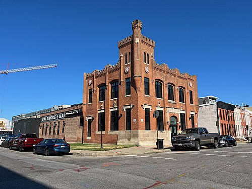
Pabst Brewing Building Former Maryland Glass and Mirror Company (C. 1880s), 1834 S. Charles Street, Baltimore, MD 21230, South Baltimore
South Baltimore · Pabst Brewing Building Former Maryland Glass and Mirror Company (C. 1880s), 1834 S. Charles Street, Baltimore, MD 21230
Photo: Baltimore Heritage from Baltimore, MD, USA, CC0 · Wikimedia Commons
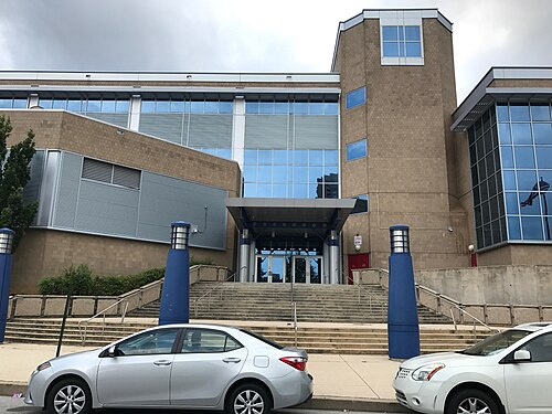
Digital Harbor High School, 1100 Covington Street, Baltimore, MD 21230, Riverside
Riverside · Digital Harbor High School, 1100 Covington Street, Baltimore, MD 21230
Photo: Baltimore Heritage from Baltimore, MD, USA, CC0 · Wikimedia Commons
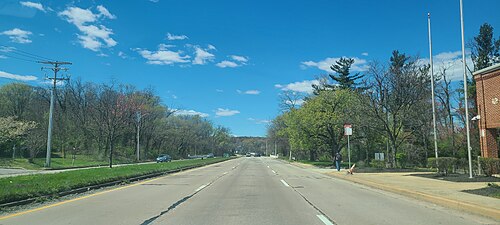
West Patapsco Avenue in 2024, Lakeland
Lakeland · West Patapsco Avenue in 2024
Photo: Charlotte Jackson, CC BY 4.0 · Wikimedia Commons
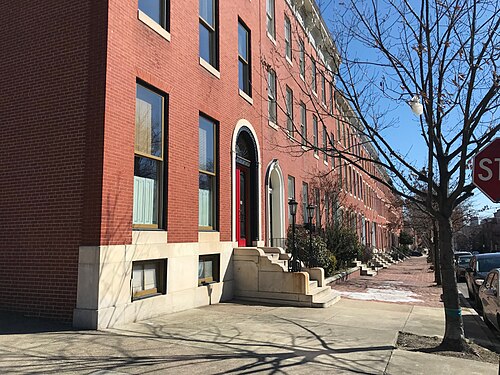
Baltimore Rowhouses, Union Square
Union Square · Baltimore Rowhouses
Photo: Baltimore Heritage from Baltimore, MD, USA, CC0 · Wikimedia Commons
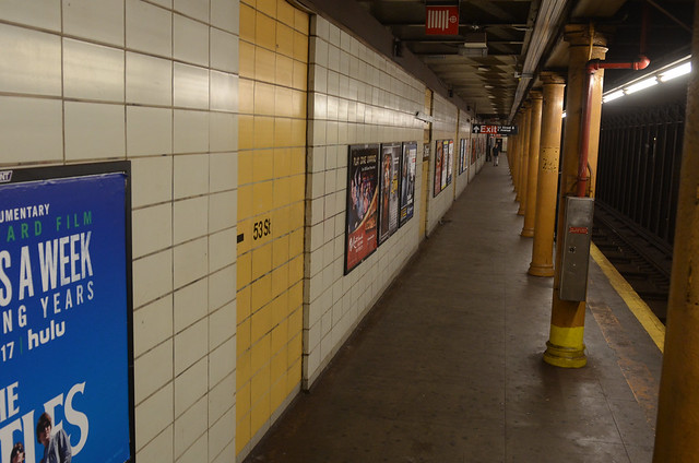
53 Street Station Before Renewal, Brooklyn
Brooklyn · 53 Street Station Before Renewal
Photo: MTAPhotos, CC BY 2.0 · Flickr

How neighborhoods moved each quarter

2022

Whole-area crime rate 19.0 to 25.5 per 1,000 (high: Q3 2022).

Big moves (4+ places in a quarter): moved up Hawkins Point 17th→8th (Q2) moved up Hollins Market 15th→9th (Q2) moved down Otterbein 2nd→11th (Q2) moved down Union Square 7th→13th (Q2) moved down Sharp-Leadenhall 11th→18th (Q2) moved up Sharp-Leadenhall 18th→6th (Q3) moved up Otterbein 11th→7th (Q3) moved up Union Square 13th→9th (Q3) moved down Barre Circle 6th→20th (Q3) moved down Hawkins Point 8th→22nd (Q3) moved up Westport 19th→11th (Q4) moved down Sharp-Leadenhall 6th→13th (Q4) moved down Brooklyn 12th→18th (Q4)

2023

Whole-area crime rate 23.9 to 37.7 per 1,000 (high: Q3 2023).

Big moves (4+ places in a quarter): moved up Otterbein 8th→4th (Q1) moved down Riverside 3rd→8th (Q1) moved up Mount Clare 17th→9th (Q1) moved up Brooklyn 18th→14th (Q1) moved down Westport 11th→16th (Q1) moved down Cherry Hill 12th→18th (Q1) moved down Ridgely's Delight 16th→20th (Q1) moved up Westport 16th→8th (Q2) moved up Cherry Hill 18th→10th (Q2) moved up Hawkins Point 22nd→11th (Q2) moved up Ridgely's Delight 20th→13th (Q2) moved down Union Square 7th→15th (Q2) moved down Mount Clare 9th→16th (Q2) moved down Hollins Market 11th→17th (Q2) moved down Curtis Bay 12th→18th (Q2) moved down Washington Village/Pigtown 15th→20th (Q2) moved up Mount Winans 5th→1st (Q3) moved up Sharp-Leadenhall 12th→6th (Q3) moved up Mount Clare 16th→10th (Q3) moved down Westport 8th→14th (Q3) moved up Washington Village/Pigtown 20th→15th (Q3) moved up Carrollton Ridge 22nd→18th (Q3) moved down Ridgely's Delight 13th→21st (Q3) moved down Hawkins Point 11th→22nd (Q3) moved up Barre Circle 19th→7th (Q4) moved down Sharp-Leadenhall 6th→11th (Q4) moved down Lakeland 8th→14th (Q4) moved down Mount Clare 10th→17th (Q4)

2024

Whole-area crime rate 22.8 to 25.5 per 1,000 (high: Q3 2024).

Big moves (4+ places in a quarter): moved up Sharp-Leadenhall 11th→5th (Q1) moved up Westport 12th→6th (Q1) moved down Mount Winans 3rd→8th (Q1) moved up Union Square 13th→9th (Q1) moved down Locust Point Industrial Area 4th→10th (Q1) moved up Mount Clare 17th→13th (Q1) moved down Barre Circle 7th→14th (Q1) moved down Brooklyn 10th→15th (Q1) moved up Hawkins Point 22nd→18th (Q1) moved up Locust Point Industrial Area 10th→2nd (Q2) moved up Barre Circle 14th→8th (Q2) moved up Hawkins Point 18th→9th (Q2) moved down Sharp-Leadenhall 5th→11th (Q2) moved up Curtis Bay 21st→16th (Q2) moved down Westport 6th→18th (Q2) moved down Mount Clare 13th→19th (Q2) moved down Mount Winans 6th→10th (Q3) moved up Ridgely's Delight 20th→11th (Q3) moved up Brooklyn 17th→12th (Q3) moved down Hawkins Point 9th→14th (Q3) moved down Curtis Bay 16th→20th (Q3) moved up Hollins Market 15th→7th (Q4) moved up Curtis Bay 20th→9th (Q4) moved up Cherry Hill 16th→10th (Q4) moved up Westport 19th→12th (Q4) moved down Locust Point Industrial Area 3rd→16th (Q4) moved down Barre Circle 8th→18th (Q4) moved down Ridgely's Delight 11th→19th (Q4) moved down Hawkins Point 14th→20th (Q4)

2025

Whole-area crime rate 19.4 to 25.6 per 1,000 (high: Q3 2025).

Big moves (4+ places in a quarter): moved up Locust Point Industrial Area 16th→3rd (Q1) moved up Ridgely's Delight 19th→7th (Q1) moved up Barre Circle 18th→8th (Q1) moved up Washington Village/Pigtown 15th→11th (Q1) moved down Union Square 5th→12th (Q1) moved down Hollins Market 7th→13th (Q1) moved down Westport 12th→16th (Q1) moved down Mount Winans 8th→17th (Q1) moved down Curtis Bay 9th→19th (Q1) moved up Sharp-Leadenhall 14th→7th (Q2) moved up Brooklyn 15th→11th (Q2) moved up Mount Winans 17th→12th (Q2) moved up Curtis Bay 19th→14th (Q2) moved down Barre Circle 8th→16th (Q2) moved down Washington Village/Pigtown 11th→17th (Q2) moved down Ridgely's Delight 7th→21st (Q2) moved up Mount Winans 12th→3rd (Q3) moved up Westport 15th→7th (Q3) moved down Sharp-Leadenhall 7th→11th (Q3) moved up Mount Clare 19th→12th (Q3) moved up Ridgely's Delight 21st→14th (Q3) moved down Hollins Market 10th→16th (Q3) moved down Barre Circle 16th→20th (Q3) moved down Locust Point Industrial Area 3rd→21st (Q3) moved up Otterbein 6th→2nd (Q4) moved up Brooklyn 13th→9th (Q4) moved up Locust Point Industrial Area 21st→10th (Q4) moved up Barre Circle 20th→13th (Q4) moved down Cherry Hill 10th→15th (Q4) moved down Westport 7th→19th (Q4)

2026

Whole-area crime rate 17.7 to 23.9 per 1,000 (high: Q2 2026). 2 quarters so far.

Big moves (4+ places in a quarter): moved up Hollins Market 14th→8th (Q1) moved up Barre Circle 13th→9th (Q1) moved up Ridgely's Delight 16th→10th (Q1) moved down Union Square 7th→14th (Q1) moved up Hawkins Point 22nd→15th (Q1) moved down Sharp-Leadenhall 11th→17th (Q1) moved down Mount Clare 12th→19th (Q1) moved up Union Square 14th→7th (Q2) moved up Sharp-Leadenhall 17th→10th (Q2) moved up Washington Village/Pigtown 16th→12th (Q2) moved down Hollins Market 8th→13th (Q2) moved down Ridgely's Delight 10th→14th (Q2) moved down Locust Point Industrial Area 11th→18th (Q2) moved down Hawkins Point 15th→20th (Q2)

Reported Safety Incidents

In Q2 2026: property incidents were 45% (625), violent incidents were 30% (418), vehicle crimes were 25% (348) and public order incidents were 0% (2).

Recorded crime here is grouped into violent crime, property crime (burglary and theft), vehicle crime and public order offences, so you can compare how safe each neighborhood is for the kind of crime that matters to you.

Read category comparisons with care. A category that jumps while the total hardly moves looks like a change in how offences are classified, not in what happened: Q2 2024: vehicle down 38% while the total moved 8%. The whole-area rate is the steadier guide.

Places we left out, and places to read with care

Left out: Baltimore Peninsula; Carroll - Camden Industrial Area; Carroll Park; Curtis Bay Industrial Area; Fairfield Area; Middle Branch/Reedbird Parks; Saint Paul; Spring Garden Industrial Area; Stadium/Entertainment Area. They have almost no residents: their crimes are against visitors, so a rate per resident says little about living there.

Hawkins Point (48.3 per 1,000 from 7 crimes among 145 residents), Locust Point Industrial Area (32.0 per 1,000 from 7 crimes among 219 residents), Barre Circle (23.5 per 1,000 from 8 crimes among 340 residents), Ridgely's Delight (28.0 per 1,000 from 17 crimes among 608 residents), Mount Winans (19.7 per 1,000 from 13 crimes among 661 residents), Key Highway (1.0 per 1,000 from 1 crime among 989 residents), Sharp-Leadenhall (22.9 per 1,000 from 25 crimes among 1,091 residents), Westport (45.1 per 1,000 from 56 crimes among 1,241 residents), Union Square (19.3 per 1,000 from 26 crimes among 1,346 residents), Carrollton Ridge (62.3 per 1,000 from 108 crimes among 1,735 residents), Mount Clare (28.4 per 1,000 from 50 crimes among 1,763 residents), Hollins Market (27.6 per 1,000 from 50 crimes among 1,812 residents), Federal Hill (54.2 per 1,000 from 106 crimes among 1,955 residents) and Otterbein (11.0 per 1,000 from 26 crimes among 2,372 residents) are places with few residents (under 3,000): a rate on so few people says little about living there, so they are not named as the lowest or highest.

The 22 neighborhoods on the map

Southern District is made of 22 neighborhoods compared here, each in its own colour on the map. They are the Neighborhood Statistical Areas of Baltimore City (Open Baltimore), grouped into police districts by CrimesLog: 58,181 residents between them.

  • Barre Circle
  • Brooklyn
  • Carrollton Ridge
  • Cherry Hill
  • Curtis Bay
  • Federal Hill
  • Hawkins Point
  • Hollins Market
  • Key Highway
  • Lakeland
  • Locust Point
  • Locust Point Industrial Area
  • Mount Clare
  • Mount Winans
  • Otterbein
  • Ridgely's Delight
  • Riverside
  • Sharp-Leadenhall
  • South Baltimore
  • Union Square
  • Washington Village/Pigtown
  • Westport

All 22 neighborhoods, Q2 2026

Crimes per 1,000 residents, Q2 2026, lowest first. The last two columns compare with Q1 2022.
#NeighborhoodResidentsAllViolentPropertyVehiclePublic orderRate vs Q1 2022Places gained
1Key Highway †9891.00.01.00.00.0down50%–
2Locust Point3,4057.90.63.53.80.0up125%up1
3Otterbein †2,37211.01.77.61.70.0up272%down1
4South Baltimore3,19914.43.87.82.80.0up109%up1
5Riverside6,08214.51.68.24.60.0up66%up1
6Lakeland3,93218.15.66.65.60.3down7%up6
7Union Square †1,34619.31.59.78.20.0up86%–
8Mount Winans †66119.79.19.11.50.0up63%up1
9Brooklyn9,52122.97.111.44.30.0down12%up7
10Sharp-Leadenhall †1,09122.910.16.46.40.0up32%up1
11Barre Circle †34023.50.020.62.90.0up100%down3
12Washington Village/Pigtown4,98427.57.012.48.00.0up21%up2
13Hollins Market †1,81227.67.78.311.60.0up6%up2
14Ridgely's Delight †60828.03.311.513.20.0down11%up5
15Cherry Hill7,56528.29.911.26.90.1up78%down5
16Mount Clare †1,76328.411.98.57.90.0down0%up2
17Curtis Bay3,21628.99.911.87.20.0up35%down4
18Locust Point Industrial Area †21932.00.09.122.80.0up599%down14
19Westport †1,24145.112.923.48.90.0up40%up1
20Hawkins Point †14548.30.020.727.60.0up75%down3
21Federal Hill †1,95554.224.024.65.60.0up56%–
22Carrollton Ridge †1,73562.322.527.112.70.0up2%–

† Hawkins Point, Locust Point Industrial Area, Barre Circle, Ridgely's Delight, Mount Winans, Key Highway, Sharp-Leadenhall, Westport, Union Square, Carrollton Ridge, Mount Clare, Hollins Market, Federal Hill and Otterbein are places with few residents. A rate on a very small number of residents or crimes is not comparable with the others.

Photographs

90 photographs of the 22 neighborhoods run along the reel; click one to see it full size. Each is credited here and under the large view.

All 90 photographs and their credits
  1. Key Highway · Little Havana, 1325 Key Highway, Baltimore, MD 21230. Photo: Baltimore Heritage from Baltimore, MD, USA, CC0 · Wikimedia Commons
  2. Locust Point · German Church Locust Point Baltimore. Photo: Smallbones, CC0 · Wikimedia Commons
  3. Otterbein · Former John Wesley Methodist Church, 136 W. Hughes Street, Baltimore, MD 21230. Photo: Baltimore Heritage from Baltimore, MD, USA, CC BY 2.0 · Wikimedia Commons
  4. South Baltimore · Pabst Brewing Building Former Maryland Glass and Mirror Company (C. 1880s), 1834 S. Charles Street, Baltimore, MD 21230. Photo: Baltimore Heritage from Baltimore, MD, USA, CC0 · Wikimedia Commons
  5. Riverside · Digital Harbor High School, 1100 Covington Street, Baltimore, MD 21230. Photo: Baltimore Heritage from Baltimore, MD, USA, CC0 · Wikimedia Commons
  6. Lakeland · West Patapsco Avenue in 2024. Photo: Charlotte Jackson, CC BY 4.0 · Wikimedia Commons
  7. Union Square · Baltimore Rowhouses. Photo: Baltimore Heritage from Baltimore, MD, USA, CC0 · Wikimedia Commons
  8. Brooklyn · 53 Street Station Before Renewal. Photo: MTAPhotos, CC BY 2.0 · Flickr
  9. Barre Circle · Barre Circle HD Bmore. Photo: Smallbones, CC0 · Wikimedia Commons
  10. Washington Village/Pigtown · Baltimore and Ohio Railroad Museum 2025 Visit. Photo: lostplanetcomics1, CC BY 4.0 · Wikimedia Commons
  11. Hollins Market · Buildings, 1000 Block of Hollins Street (South Side), Baltimore MD 21223. Photo: Baltimore Heritage from Baltimore, MD, USA, CC0 · Wikimedia Commons
  12. Cherry Hill · Middle Branch Manor Apartments, 2868 Potee Street, Baltimore, MD 21225. Photo: Baltimore Heritage, CC0 · Wikimedia Commons
  13. Mount Clare · Mount Clare Station and Roundhouse -- B & O Railroad Museum 901 West Pratt Street Baltimore (MD) 2013. Photo: Ron Cogswell, CC BY 2.0 · Flickr
  14. Locust Point Industrial Area · C. Hoffberger Co. Ice and Coal Wagon, Baltimore Museum of Industry, 1415 Key Highway, Baltimore, MD 21230. Photo: Baltimore Heritage from Baltimore, MD, USA, CC0 · Wikimedia Commons
  15. Federal Hill · 08 American Visionary Museum Baltimore MD 0964. Photo: bobistraveling, CC BY 2.0 · Wikimedia Commons
  16. Carrollton Ridge · Vacant Rowhouses, Shipley Hill, Baltimore. Photo: Baltimore Heritage, CC0 · Wikimedia Commons
  17. Baltimore Peninsula · "Main Office" Sign, Locke Insulators Building, 2401 S. Hanover Street, Baltimore, MD 21230. Photo: Baltimore Heritage from Baltimore, MD, USA, CC0 · Wikimedia Commons
  18. Carroll Park · Around Carroll Park. Photo: GuyDeckerStudio, CC0 · Flickr
  19. Saint Paul · St. Mark's Evangelical Lutheran Church (1898; Joseph Evans Sperry, Architect), 1900 Saint Paul Street, Baltimore (Retouched. Photo: Baltimore Heritage from Baltimore, MD, USA, CC0 · Wikimedia Commons
  20. Stadium/Entertainment Area · Bell Tower Commons (Former Martini Evangelical Lutheran Church), 126 W. Henrietta Street, Baltimore, MD 21230 (325143374. Photo: Baltimore Heritage from Baltimore, MD, USA, CC0 · Wikimedia Commons
  21. Key Highway · Metal Signage, Baltimore City Fire Department Repair Shop (1963), 1407 Key Highway, Baltimore, MD 21230. Photo: Baltimore Heritage, CC0 · Flickr
  22. Locust Point · Locust Point Panorama. Photo: sneakerdog, CC BY 2.0 · Flickr
  23. Riverside · Digital Harbor High School, 1100 Covington Street, Baltimore, MD 21230. Photo: Baltimore Heritage from Baltimore, MD, USA, CC0 · Wikimedia Commons
  24. Lakeland · Mt Winans Yard CSX. Photo: Caseyjonz, Public domain · Wikimedia Commons
  25. Union Square · Church (2). Photo: Paul Sableman from St. Louis, MO, CC BY 2.0 · Wikimedia Commons
  26. Brooklyn · Reopening of 53rd St ESI Station. Photo: MTAPhotos, CC BY 2.0 · Flickr
  27. Washington Village/Pigtown · Baltimore and Ohio Railroad Museum 2025 Visit. Photo: lostplanetcomics1, CC BY 4.0 · Wikimedia Commons
  28. Hollins Market · Commercial Buildings, 42-48 S. Carrollton Avenue, Baltimore, MD 21223. Photo: Baltimore Heritage from Baltimore, MD, USA, CC0 · Wikimedia Commons
  29. Cherry Hill · Cherry Hill Town Center, 600 Cherry Hill Road, Baltimore, MD 21225. Photo: Baltimore Heritage, CC0 · Flickr
  30. Locust Point Industrial Area · C. Hoffberger Co. Ice and Coal Wagon, Baltimore Museum of Industry, 1415 Key Highway, Baltimore, MD 21230. Photo: Baltimore Heritage from Baltimore, MD, USA, CC0 · Wikimedia Commons
  31. Federal Hill · Former Southern High School, 201 Warren Avenue, Baltimore, MD 21230. Photo: Baltimore Heritage from Baltimore, MD, USA, CC0 · Wikimedia Commons
  32. Baltimore Peninsula · Locke Insulators Building, 2401 S. Hanover Street, Baltimore, MD 21230. Photo: Baltimore Heritage from Baltimore, MD, USA, CC0 · Wikimedia Commons
  33. Saint Paul · Museum Entrance, Lovely Lane United Methodist Church (1887; Stanford White, Architect), 2200 Saint Paul Street, Baltimore, MD 21218. Photo: Baltimore Heritage, CC0 · Flickr
  34. Stadium/Entertainment Area · Baltimore Ravens Field During January 11, 2025 Wild Card Game. Photo: Michael, CC BY 4.0 · Wikimedia Commons
  35. Key Highway · Decker Gallery, Baltimore Museum of Industry/Former Platt & Company Oyster Cannery, 1415 Key Highway, Baltimore, MD 21230. Photo: Baltimore Heritage, CC0 · Flickr
  36. Riverside · Building, 1401 Battery Avenue, Baltimore, MD 21230. Photo: Baltimore Heritage from Baltimore, MD, USA, CC0 · Wikimedia Commons
  37. Union Square · Union Square - 1500 Block of Hollins St. Photo: Union-Square, CC BY 2.0 · Flickr
  38. Brooklyn · Guggenheim Museum- New York City - Aerial View. Photo: Arch_Sam, CC BY 2.0 · Flickr
  39. Washington Village/Pigtown · Babe-y Street. Photo: Payton Chung from DCA, USA, CC BY 2.0 · Wikimedia Commons
  40. Hollins Market · New Day Gallery, 1100 Hollins Street, Baltimore, MD 21223. Photo: Baltimore Heritage from Baltimore, MD, USA, CC0 · Wikimedia Commons
  41. Cherry Hill · Cherry Hill Town Center, 600 Cherry Hill Road, Baltimore, MD 21225. Photo: Baltimore Heritage, CC0 · Flickr
  42. Federal Hill · William Street Entrance, Former Southern High School, 201 Warren Avenue, Baltimore, MD 21230. Photo: Baltimore Heritage from Baltimore, MD, USA, CC0 · Wikimedia Commons
  43. Baltimore Peninsula · Sidewalk on East Side of S. Hanover Street (View Facing North), Baltimore, MD 21230. Photo: Baltimore Heritage from Baltimore, MD, USA, CC0 · Wikimedia Commons
  44. Saint Paul · St. Mark's Evangelical Lutheran Church (1898; Joseph Evans Sperry, Architect), 1900 Saint Paul Street, Baltimore, MD 21218. Photo: Baltimore Heritage, CC0 · Flickr
  45. Stadium/Entertainment Area · Hampton Inn Baltimore Camden Yards (2006), 550 Washington Boulevard, Baltimore, MD 21230. Photo: Baltimore Heritage from Baltimore, MD, USA, CC0 · Wikimedia Commons
  46. Key Highway · Detail, Aurora Borealis (2013), LeRoy E. Hoffberger Shining Youth/Shining Walls Mosaics, Exterior of the Zanvyl Krieger Main Building, Ameri. Photo: Baltimore Heritage, CC0 · Flickr
  47. Riverside · Saint Ignatius Loyola Academy (1917), 300 E. Gittings Street, Baltimore, MD 21230. Photo: Baltimore Heritage from Baltimore, MD, USA, CC0 · Wikimedia Commons
  48. Union Square · Union Square Park - Historic. Photo: Union-Square, CC BY 2.0 · Flickr
  49. Washington Village/Pigtown · B&O Railroad Museum Sights. Photo: Andrew Hazlett, CC BY 2.0 · Wikimedia Commons
  50. Hollins Market · Boarded-up Row House. Photo: Paul Sableman from St. Louis, MO, CC BY 2.0 · Wikimedia Commons
  51. Cherry Hill · Cherry Hill Town Center, 600 Cherry Hill Road, Baltimore, MD 21225. Photo: Baltimore Heritage, CC0 · Flickr
  52. Federal Hill · Sign and Flag Pole, Federal Hill Preparatory School (1972), 1040 William Street, Baltimore, MD 21230. Photo: Baltimore Heritage from Baltimore, MD, USA, CC0 · Wikimedia Commons
  53. Baltimore Peninsula · Sidewalk on East Side of S. Hanover Street (View Facing South), Baltimore, MD 21230. Photo: Baltimore Heritage from Baltimore, MD, USA, CC0 · Wikimedia Commons
  54. Saint Paul · U.S. Parcel Post Station/Railway Express Lofts (1929; Bishop, Knowlton & Crossen, Architects), 1501 Saint Paul Street, Baltimore, MD 21202. Photo: Baltimore Heritage, CC0 · Flickr
  55. Key Highway · Aurora Borealis (2013), LeRoy E. Hoffberger Shining Youth/Shining Walls Mosaics, Exterior of the Zanvyl Krieger Main Building, American Visi. Photo: Baltimore Heritage, CC0 · Flickr
  56. Riverside · Rowhouses, 1300 Block of Webster Street (East Side), Baltimore, MD 21230. Photo: Baltimore Heritage from Baltimore, MD, USA, CC0 · Wikimedia Commons
  57. Union Square · Union Square - Snow of Feb 2010 View West on West Lombard St.. Photo: Union-Square, CC BY 2.0 · Flickr
  58. Washington Village/Pigtown · Baltimore & Ohio Railroad Museum - Baltimore. Photo: Reading Tom from Reading, UK, CC BY 2.0 · Wikimedia Commons
  59. Hollins Market · Cool Building in Baltimore. Photo: Paul Sableman from St. Louis, MO, CC BY 2.0 · Wikimedia Commons
  60. Cherry Hill · Mural at Cherry Hill Town Center (1998; Tom Miller, Artist; Restored 2017; Mural Masters, Inc.), 600 Cherry Hill Road, Baltimore, MD 21225. Photo: Baltimore Heritage, CC0 · Flickr
  61. Federal Hill · Plaque, Federal Hill Preparatory School (1972), 1040 William Street, Baltimore, MD 21230. Photo: Baltimore Heritage from Baltimore, MD, USA, CC0 · Wikimedia Commons
  62. Saint Paul · Former Bennett Hall and Annex, Goucher Women's College/Maryland Geological Survey, 2300 Saint Paul Street, Baltimore, MD 21218. Photo: Baltimore Heritage, CC0 · Flickr
  63. Key Highway · Base for Whirligig/'Life, Liberty and the Pursuit of Happiness' (1995; Vollis Simpson, Sculptor), American Visionary Art Museum, 800 Key Hig. Photo: Baltimore Heritage, CC0 · Flickr
  64. Riverside · Building Entrance, 1401 Battery Avenue, Baltimore, MD 21230. Photo: Baltimore Heritage from Baltimore, MD, USA, CC0 · Wikimedia Commons
  65. Union Square · Union Square - Unit Block of South Stricker St.. Photo: Union-Square, CC BY 2.0 · Flickr
  66. Washington Village/Pigtown · Baltimore and Ohio Railroad Museum 2025 Visit. Photo: lostplanetcomics1, CC BY 4.0 · Wikimedia Commons
  67. Hollins Market · Baltimore Side Street. Photo: Paul Sableman from St. Louis, MO, CC BY 2.0 · Wikimedia Commons
  68. Federal Hill · Untitled Sculptural Fountain (1972; Edmund Whiting, Sculptor), Federal Hill Preparatory School (1972), 1040 William Stre. Photo: Baltimore Heritage from Baltimore, MD, USA, CC0 · Wikimedia Commons
  69. Saint Paul · Former Bennett Hall and Annex, Goucher Women's College/Maryland Geological Survey, 2300 Saint Paul Street, Baltimore, MD 21218. Photo: Baltimore Heritage, CC0 · Flickr
  70. Riverside · Rowhouses and Barber Shop, 700 Block of E. Fort Avenue (North Side), Baltimore, MD 21230. Photo: Baltimore Heritage from Baltimore, MD, USA, CC0 · Wikimedia Commons
  71. Union Square · Union Square - Steuart Hill Academic Academy - Snow of Feb 2010. Photo: Union-Square, CC BY 2.0 · Flickr
  72. Washington Village/Pigtown · Baltimore & Ohio Railroad Museum - Baltimore. Photo: Reading Tom from Reading, UK, CC BY 2.0 · Wikimedia Commons
  73. Hollins Market · Black Cherry Puppet Theater, 1115 Hollins Street, Baltimore, MD 21223. Photo: Baltimore Heritage from Baltimore, MD, USA, CC0 · Wikimedia Commons
  74. Federal Hill · Detail, The Charles Former Provident Savings Bank Building (C. 1926; Palmer, Willis and Lambdin, Architects; Thomas Hick. Photo: Baltimore Heritage from Baltimore, MD, USA, CC0 · Wikimedia Commons
  75. Riverside · Riverside Church. Photo: miss_millions, CC BY 2.0 · Flickr
  76. Union Square · Union Square - 1500 Block West Lombard St. Snow February 2010. Photo: Union-Square, CC BY 2.0 · Flickr
  77. Hollins Market · Homes Across from Hollins Market. Photo: pasa47, CC BY 2.0 · Flickr
  78. Federal Hill · Wheelhouse Apartments (2019; Moseley Architects, Architect; Kinsley Construction, Contractor), 7 W. Cross Street, Baltim. Photo: Baltimore Heritage from Baltimore, MD, USA, CC0 · Wikimedia Commons
  79. Riverside · Parish House, St. Mary of the Sea Catholic Church, 1400 Riverside Avenue, Baltimore, MD 21230. Photo: Baltimore Heritage, CC0 · Flickr
  80. Union Square · Union Square Station. Photo: dalecruse, CC BY 2.0 · Flickr
  81. Federal Hill · Constellation Energy Learning Entrance, Maryland Science Center, 601 Light Street, Baltimore, MD 21230. Photo: Baltimore Heritage from Baltimore, MD, USA, CC0 · Wikimedia Commons
  82. Riverside · St. Mary of the Sea Catholic Church, 1400 Riverside Avenue, Baltimore, MD 21230. Photo: Baltimore Heritage, CC0 · Flickr
  83. Union Square · MTA Installs New Escalator for L Customers at Union Square. Photo: MTAPhotos, CC BY 2.0 · Flickr
  84. Federal Hill · Rowhouses, 412-416 E. Cross Street, Baltimore, MD 21230. Photo: Baltimore Heritage from Baltimore, MD, USA, CC BY 2.0 · Wikimedia Commons
  85. Riverside · St. Mary of the Sea Catholic Church, 1400 Riverside Avenue, Baltimore, MD 21230. Photo: Baltimore Heritage, CC0 · Flickr
  86. Federal Hill · The Charles Former Provident Savings Bank Building (C. 1926; Palmer, Willis and Lambdin, Architects; Thomas Hicks & Sons. Photo: Baltimore Heritage from Baltimore, MD, USA, CC0 · Wikimedia Commons
  87. Riverside · St. Mary of the Sea Catholic Church, 1400 Riverside Avenue, Baltimore, MD 21230. Photo: Baltimore Heritage, CC0 · Flickr
  88. Federal Hill · American Visionary Art Museum. Photo: callison-burch, CC BY 2.0 · Wikimedia Commons
  89. Riverside · Roadside Historic Marker for 'Fort Look-Out,' Leone Riverside Park, 301 E. Randall Street, Baltimore, MD 21230. Photo: Baltimore Heritage, CC0 · Flickr
  90. Federal Hill · Federal Hill, Baltimore. Photo: danxoneil, CC BY 2.0 · Flickr

Sources and notes

CrimesLog sources crime incident data published by the Baltimore Police Department (BPD) through the City of Baltimore Open Data Hub, containing public sector information made available under the City of Baltimore Open Data Terms of Service.

Population: U.S. Census Bureau, American Community Survey 5-year estimates (public domain).

First-place medal: 1st Place Medal emoji icon by Icons8.

Neighborhood boundaries are the Neighborhood Statistical Areas defined by Baltimore City (Open Baltimore), grouped into police districts by CrimesLog and simplified by CrimesLog. The photographs are credited under each picture.

Rates are recorded crimes per 1,000 residents, quarter by quarter; where a neighborhood has fewer than 100 residents the rate would be worked out on 100 (those places are left out of the race). A count of recorded crime is not a verdict on any neighborhood.